Categories
Development News Transportation

Hamilton Looking At Possibility of Developing Urban Trail on City’s West Side

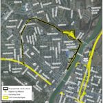
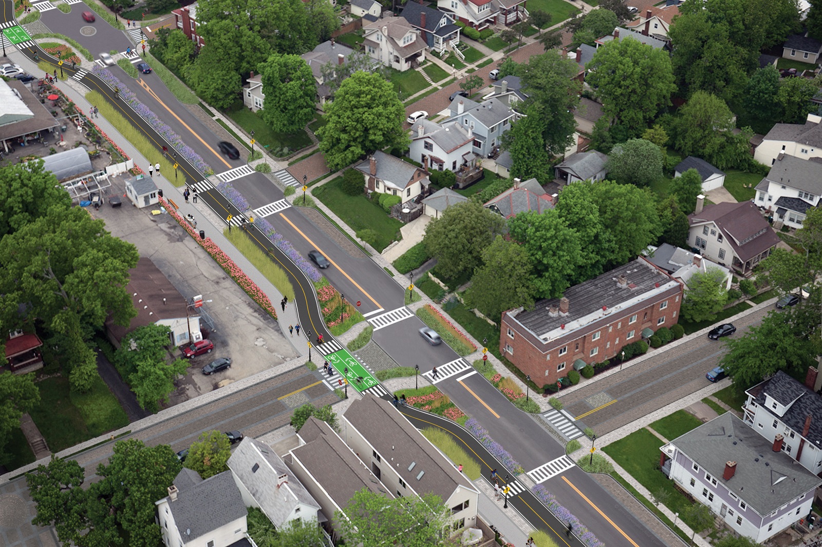
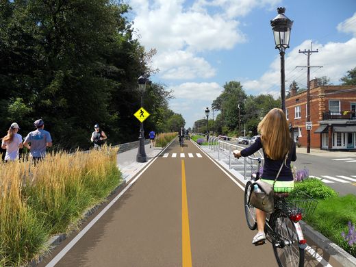
The City of Hamilton is looking at the possibility of acquiring approximately 36.5 acres of land from CSX Corporation following its filing for abandonment of the former freight railroad. If city officials ultimately decide to proceed with the purchase, the plan will be to turn it into an urban bike and pedestrian trail on Hamilton’s inner west side.

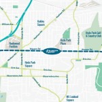
Running from CSX’s main line in Millville to the former Champion Paper Mill, which is in the process of being redeveloped into a youth sports and entertainment complex, the property also includes a former railyard near the Great Miami River at Two Mile Creek.

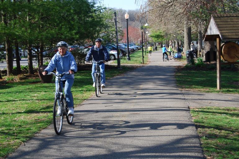
Hamilton’s west side neighborhoods currently lack any protected bike lanes or off-street bike paths. As a result, the possibility of adding such an amenity has community leaders excited.

“The proposed Beltline trail will be of great value to our community,” said Hamilton Councilman Rob Wile. “By connecting these neighborhoods to our existing trail infrastructure we open up a number of convenient outdoor recreational opportunities to our residents.”

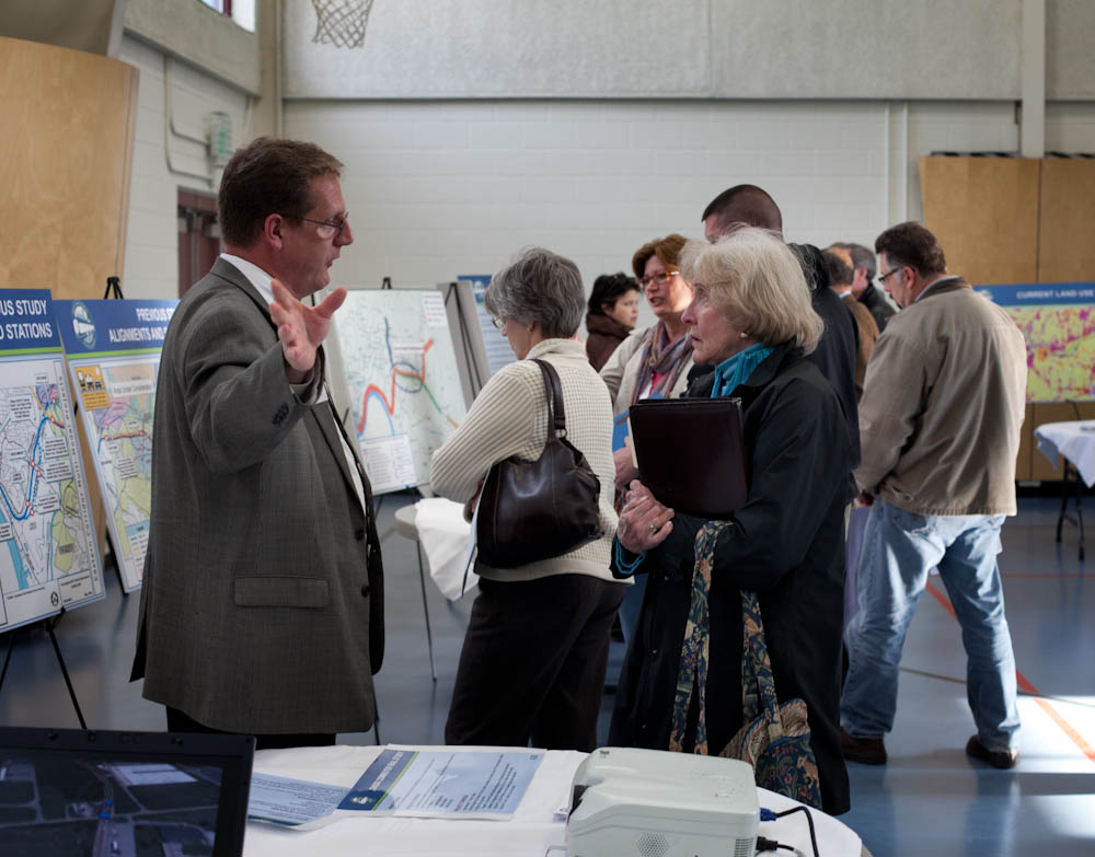
Earlier in the year city officials hosted public hearings to gather feedback on the concept, and are continuing to gather feedback through an online survey. The results, they say, will help determine whether they should ultimately pursue the project.

“The survey lets the City know what kind of benefits residents see in the trail, how often they may use it, what potential negative aspects or problems may occur with it; and is being used to see what generally the public thinks about the potential trail,” Nicholas Garuckas, City Management Fellow inside Hamilton’s Office of the City Manager, explained to UrbanCincy.

“The [survey] results are carefully being looked at and considered in helping determine whether or not the City should be moving forward with this project or not.

In the meantime, Garuckas says that City Hall is moving forward with an appraisal of the land’s value, along with assessing the possibility of various grants from agencies like the Ohio Public Works Clean Conservation Fund, Rails to Trails Conservancy, Dopplet Family Fund, Ohio Department of Natural Resources Clean Ohio Trail Fund, and Recreational Train Fund.

The project follows a pattern of other more marque urban trail projects around the country that are transforming former industrial rail corridors into park and recreation space for under-served urban communities.

Last June, Chicago celebrated the opening of its 2.7-mile trail called The 606. Atlanta, meanwhile, has been opening segments of its much larger 33-mile BeltLine project in phases over recent years. Nearby, in Cincinnati, city officials are poised to acquire an abandoned 7.6-mile freight rail line in its eastern neighborhoods for what is being called the Wasson Way project.

While smaller in scope, the approximately 2.7-mile Hamilton Beltline has, at least initially, has gained the support of Hamilton City Council, and is rooted in the city’s planning documents. In fact, city officials explain that the idea for the project came out of discussions about what to do with the Champion Paper Mill complex and surrounding areas.

“This project is part of the bike path master plan and it will be an asset to all those who enjoy the outdoors including walkers and joggers,” Wile concluded.

If Hamilton is successful in acquiring the land, it would add significant recreational facilities and new transportation options to the city’s west side. If abandonment proceedings continue without Hamilton moving to purchase the property, it will instead be sold off in piecemeal fashion to private owners.
Categories
News Politics Transportation

ODOT Looking For Public Feedback on Reworked Eastern Corridor Program

The Ohio Department of Transportation is looking for additional feedback related to transportation improvements for Cincinnati’s eastern neighborhoods and far reaching suburbs.

The survey comes after ODOT has said that they are backing away from original plans for the hotly debated Eastern Corridor project, which came under public scrutiny for its scope and potentially negative impact to established neighborhoods on the city’s east side.

While the project will most certainly not be moving forward as originally envisioned, public officials are still looking to get a grasp on what kinds of investments could be made to improve traffic congestion and mobility options.

So far, ODOT has held public meetings in Newtown and Mariemont, and will hold meetings in Anderson Township, Mt. Lookout, Fairfax and Mt. Washington in the coming weeks – the next of which will occur this evening, from 6pm to 8pm, in Mt. Lookout at Christ The King Parish Center at 927 Ellison Avenue.

Those unable to attend that or the other upcoming meetings, are being encouraged to complete an interactive web-based survey. Taking approximately five to 10 minutes to complete, the survey asks respondents to rank the importance of the types of transportation improvements needed for the corridor, while also asking for specific location-based improvement suggestions.

The survey and public feedback for this effort is focused on what ODOT calls Segments II and III of the project, and is not limited to those who live or work in the study area, but rather open to anyone who finds themselves passing through the area.

Early results from the survey show that respondents want ODOT to focus investments on improving public transit, biking and walking options, and travel time through the corridor. While the travel time option could mean many different things, it may be connected to the other two top rankings for multi-modal transportation enhancements.

Projects not specifically mentioned in the survey include the Oasis Corridor commuter rail line, which also has been on the ropes lately, and the Wasson Corridor, which is still unclear how it will proceed with respects to a trail only, or a light rail and trail combination.

As UrbanCincy wrote in June 2015, a new local access bridge crossing the Ohio River, from Columbia Tusculum to Dayton, KY, could also greatly help solve access and congestion issues on the east side of the region.

ODOT officials say that the online survey will remain open until Wednesday, June 15. After this evening’s open house in Mt. Lookout, the next meetings to take place in Fairfax and Mt. Washington will occur on May 4 and May 5, respectively.

Categories
Arts & Entertainment News Transportation

Area Organizations Teaming Up to Encourage Active Transportation This Spring Season

Tri-State Trails is aiming to encourage the public to get outdoors with the Opening Day on the Trails Challenge – a seven week series of hikes, group bike rides, and other events on trails and in parks throughout the Cincinnati region.

The challenge starts with an event at Sawyer Point from 12pm to 5pm on Saturday, April 16, which is also Earth Day.

The Opening Day on the Trails Challenge is part of a national kickoff by the Rails-to-Trail Conservancy to promote the spring outdoor season. Running from mid-April to early June, the challenge overlaps with National Bike Month in May.

Information on the challenge can be found online at MeetMeOutdoors.com. Participants can register on the website, and sign up to receive email newsletters and social media alerts. A Trails Challenge Passport is also available for download. To participate, individuals and families attend group events, which are listed on a schedule included with the passport. Attendance at activities is logged on the passport, and those who attend at least one event are eligible to win a prize.

Organizers say that the challenge will conclude with an award ceremony on National Trails Day on June 4 at the Purple People Bridge. Participants who complete the challenge will receive a Nalgene water bottle and other items. A raffle will also be held to award prizes, donated by local businesses and Cincy Red Bike, to registered participants.

Tri-State Trails, a program of Green Umbrella, is the local host of the challenge, and is hoping it will encourage more people to get out and explore the region’s network of bike paths and trails.

Wade Johnston, Regional Trails Coordinator for Tri-State Trails, sees the event as an opportunity to showcase not only the many multimodal trails in the Cincinnati region, but also the hiking and mountain biking trails. Tri-State Trails has been told by the Rails to Trails Conservancy that the Challenge in the Cincinnati region is the largest and longest program of any opening day trail event in the United States.

Johnston told UrbanCincy that public support and usage of the region’s trail system is increasing, citing the Cincinnati Connects plan, and efforts to expand the Mill Creek Greenway, Ohio River Trail, and Wasson Way.

The Opening Day on the Trails event is supported by a $25,000 grant from Interact for Health. While this is the first year for this event in Cincinnati, it is intended to be an annual event in the future.

Green Umbrella’s Outdoor Event Series will continue through the summer with the Kids Outdoor Adventure Expo on July 22 at Winton Woods Harbor, and the Great Outdoor Weekend on September 24 and 25 at a variety of locations around the Cincinnati area.

Categories
News Politics Transportation

Metro Looking For Feedback On How To Improve Regional Transit System

Over the past month, Metro has been hosting public listening sessions in order to get a better idea for what current and would-be transit riders are looking for out of the region’s largest transit provider.

While the five sessions have been completed, Metro is still accepting feedback through an online survey that takes about five minutes to complete. Agency officials have not said when that process will be closed, but they say that the goal is to compile the data by the end of the year.

This public feedback process falls in line with growing speculation that Metro will ask Hamilton County voters next fall to approve a sales tax increase that would pay for expanded bus service throughout the county. As it is now, Metro is almost exclusively funded by the City of Cincinnati, and thus primarily provides service within those boundaries. Service outside of those boundaries costs riders extra – a situation that would be removed should voters approve the sales tax increase.

“At the end of the day, the transit system belongs to the people,” explained Jason Dunn, SORTA Board Chair. “It is our job to be good stewards of the transit system and uphold its mission. Ultimately, we’ll use this feedback to help us make decisions that will set the agenda for transit in the future.”

The public is asked to weigh in on a number of key items in the survey, including where bus service should be extended, and what kinds of operating schedules are preferred. The survey also asks about whether real-time arrival display boards, enhanced shelters and ticketing machines would be desired. All of these are items Metro has been adding over recent years, but at a modest pace.

In relation to service operations, Metro officials ask about adding more direct crosstown routes, park-and-ride lots, operating buses earlier or later, increasing weekend frequencies, and adding service to major commercial corridors like Glenway Avenue, Hamilton Avenue, Vine Street, Reading Road and Madison Avenue.

Each of these corridors have been identified for more robust service akin to what has been done along Montgomery Road, which features the first Metro*Plus route in the region. While not full-blown bus rapid transit, Metro officials see it as a step in that direction with its more frequent service, enhanced bus shelters and less frequent stops that allow for faster travel.

Of course, without a dedicated regional transit tax many of these improvements will be difficult to accomplish, or take many years to realize. In the most recent round of TIGER funding, Cincinnati did not apply for any transit-related projects, nor did it even compete for any funds in the recent distribution of the FTA’s Transit-Oriented Development Planning Pilot Program.

While City Hall focused its TIGER grant applications on the Elmore Street Bridge and Wasson Way, both of which were unsuccessful, Metro officials said they did not apply for the FTA funds because they did not believe they had projects ready for successful consideration. But some local transit advocates disagree.

“Our elected officials and administrators are asleep at the wheel,” said Derek Bauman, Southwest Ohio Director of All Aboard Ohio and Chair of Cincinnatians for Progress. “Pools of money exist, particularly at the federal level, for all types of transit planning and construction. We must at accept that times have changed, prepare for the modes of transportation that people are demanding today, and then avail ourselves to resources to make it happen as they become available.”

An additional meeting will be held to gather public feedback from young professionals on Wednesday, November 11 from 6pm to 7:30pm at MORTAR Cincinnati in Over-the-Rhine. Metro CEO and General Manager Dwight Ferrell will be there to take part in the Q/A, and the first 50 people in attendance will receive a free $10 stored value bus pass.

Metro officials say that all of the feedback from the listening sessions and online survey will be considered by the newly created Metro Futures Task Force, which is made up of community leaders who will then present their findings to the SORTA Board in early 2016.

EDITORIAL NOTE: This story has been updated to reflect an additional public meeting that will be held on the evening of Wednesday, November 11.

Categories
Development News Transportation

Cincinnati Reaches Agreement With Norfolk Southern on Purchase of Wasson Railroad Corridor

Cincinnati City Council’s Neighborhoods Committee gave a unanimous okay to an ordinance that would solidify an agreement to purchase 4.1 miles of railroad right-of-way from Norfolk Southern for $11.8 million, providing a key piece of the 7.6-mile Wasson Way recreational trail.

The agreement would give the City a two-year purchase option for the property, which extends between the Montgomery-Dana intersection along the Norwood/Evanston line to the intersection of Red Bank and Wooster roads in Columbia Township.

The ordinance was a last minute by-leave item on the committee calendar, made necessary due to a TIGER grant application that is due on Friday. Project backers are seeking $17 million of the $20 million project cost, and City support makes their application much more attractive.

The trail has been in the works since 2011, and a group of nearly 20 volunteers with the Wasson Way nonprofit got a big boost when Mayor John Cranley (D), City Manager Harry Black, and City staff assisted with the negotiations.

“We started looking at the TIGER grant application,” said Mel McVay, senior planner at Cincinnati’s Department of Transportation & Engineering. “They really talk about ‘ladders of opportunity’, increasing mobility and accessibility for folks throughout the region, and so we saw an opportunity between the property we could purchase and some property we already had, and some existing trails.”

Director of Department of Trade and Development Oscar Bedolla spelled out the project’s urgency.

“One of the statutory requirements associated with the scoring for TIGER is related to readiness,” he said. “And so, the more that we can do to show that the project is potentially shovel-ready enhances our ability to acquire or be selected for TIGER funding.”

Bedolla added that under the terms of the agreement, the City would pay nothing in the first year if it does not proceed with the purchase. If the purchase is pursued within the second year, there would be a 5% fee added to the price.

The City’s matching funding of between $3 million and $4 million for construction costs could be made up of a combination of state and federal grants, plus funds raised by Wasson Way, he said.

Still up in the air is approximately two miles or the corridor between the Columbia Township end point and Newtown, where it could connect with the Little Miami Scenic Trail.

“We’re working on it,” McVay said. “Unfortunately, the railroad was not open to selling any additional property east of that point. We’re investigating three or four ways that we can get farther east to the existing Little Miami Trail. We’re very confident we can get there.”

David Dawson, a resident of Mt. Lookout and realtor with Sibcy Cline, expressed concern about how a long-envisioned light rail line could be brought to the corridor once its freight rail designation is abandoned – a legal process that is handled by the U.S. Surface Transportation Board.

“It just can’t be said enough, in my view, that the City will now become the steward of a very valuable asset,” Dawson said. “This is a regional corridor that, in this day and age, cannot really be duplicated. If we lose that ability to eventually have transit, rail transit, or some sort of transit in the future, we won’t be able to put it back.

Dawson and other rail advocates are calling for the corridor to be railbanked, so that the addition of light rail transit remains an option in the future.

“This doesn’t just connect our neighborhoods, but in the future it has the potential to connect the entire region out to Clermont County,” Dawson said.

The use of this corridor has long been eyed for light rail transit, including in the 2002 MetroMoves regional transit plan. A 2014 study by KZF Design recommended a design solution that would preserve the ability to develop both light rail transit and a trail; and estimated that such an approach would bring the cost of developing the trail to approximately $11.2 million.

Andrea Yang, senior assistant City solicitor, said that the purchase agreement would give the City some time to work out those issues.

“The way that the abandonment process is structured, there is a time period which we could utilize to further investigate other options,” Yang said. “Had we chosen to railbank the property and attempt to preserve it, it would actually follow the same process for abandonment, so there’s definitely time to look into that if that is what Council’s interested in seeing.”

In April, Cincinnati’s Planning Commission voted to place an Interim Development Control Overlay District on this corridor in order to give the city more time to allow plans to progress without new development creating new conflicts.