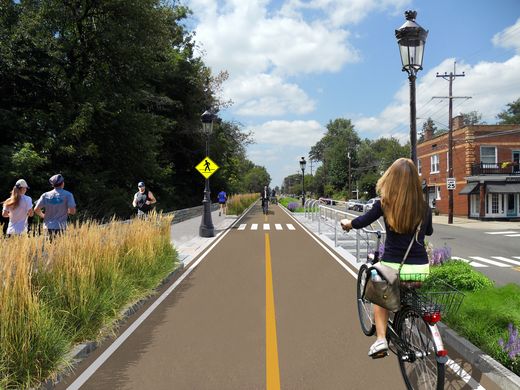
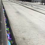
The City of Hamilton is looking at the possibility of acquiring approximately 36.5 acres of land from CSX Corporation following its filing for abandonment of the former freight railroad. If city officials ultimately decide to proceed with the purchase, the plan will be to turn it into an urban bike and pedestrian trail on Hamilton’s inner west side.
Running from CSX’s main line in Millville to the former Champion Paper Mill, which is in the process of being redeveloped into a youth sports and entertainment complex, the property also includes a former railyard near the Great Miami River at Two Mile Creek.
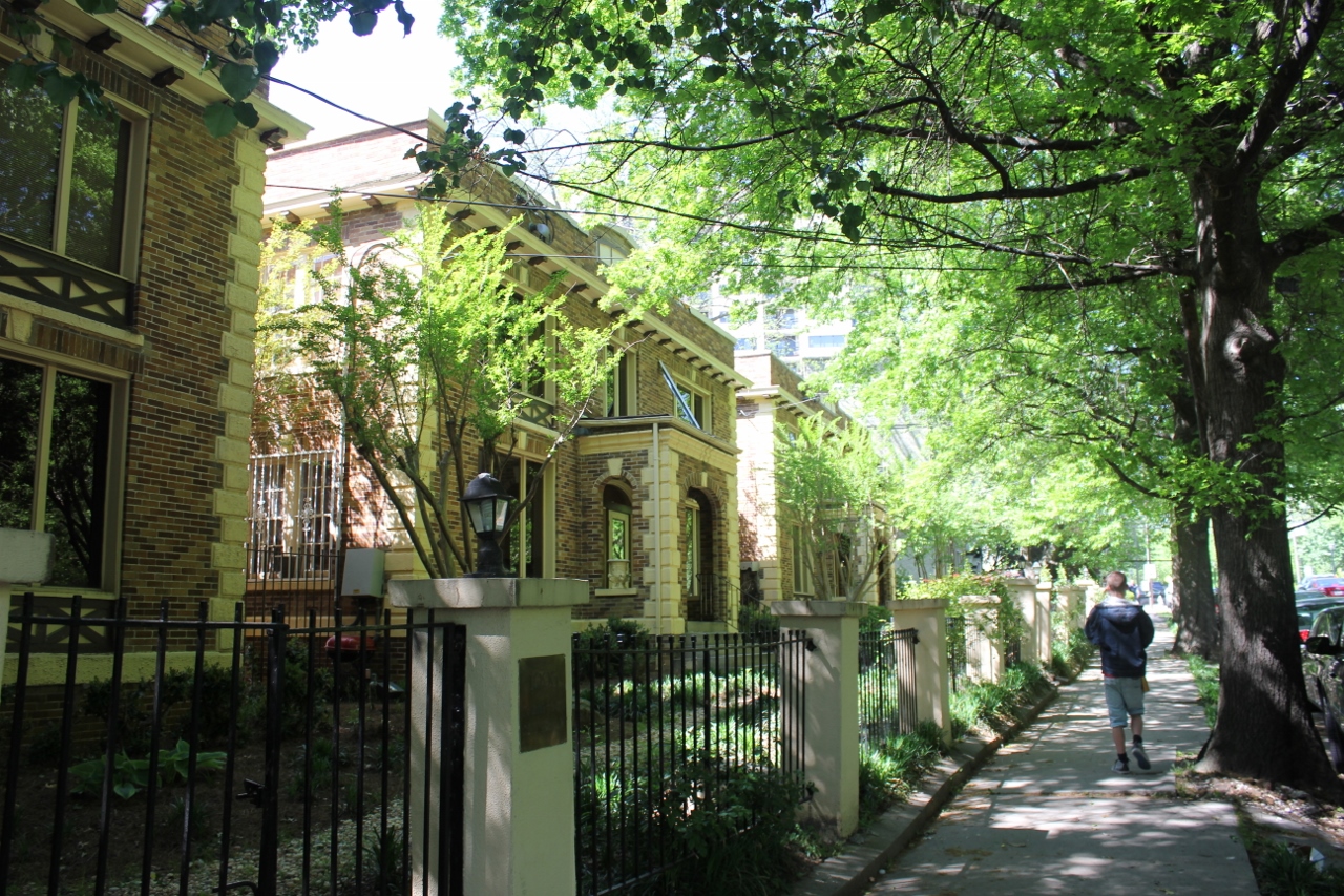
Hamilton’s west side neighborhoods currently lack any protected bike lanes or off-street bike paths. As a result, the possibility of adding such an amenity has community leaders excited.
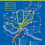
Hamilton Bike Master Plan [Provided]
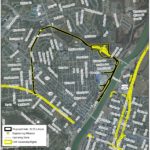
Proposed CSX Sale for Hamilton Beltline [Provided]
“The proposed Beltline trail will be of great value to our community,” said Hamilton Councilman Rob Wile. “By connecting these neighborhoods to our existing trail infrastructure we open up a number of convenient outdoor recreational opportunities to our residents.”
Earlier in the year city officials hosted public hearings to gather feedback on the concept, and are continuing to gather feedback through an online survey. The results, they say, will help determine whether they should ultimately pursue the project.
“The survey lets the City know what kind of benefits residents see in the trail, how often they may use it, what potential negative aspects or problems may occur with it; and is being used to see what generally the public thinks about the potential trail,” Nicholas Garuckas, City Management Fellow inside Hamilton’s Office of the City Manager, explained to UrbanCincy.
“The [survey] results are carefully being looked at and considered in helping determine whether or not the City should be moving forward with this project or not.
In the meantime, Garuckas says that City Hall is moving forward with an appraisal of the land’s value, along with assessing the possibility of various grants from agencies like the Ohio Public Works Clean Conservation Fund, Rails to Trails Conservancy, Dopplet Family Fund, Ohio Department of Natural Resources Clean Ohio Trail Fund, and Recreational Train Fund.
The project follows a pattern of other more marque urban trail projects around the country that are transforming former industrial rail corridors into park and recreation space for under-served urban communities.
Last June, Chicago celebrated the opening of its 2.7-mile trail called The 606. Atlanta, meanwhile, has been opening segments of its much larger 33-mile BeltLine project in phases over recent years. Nearby, in Cincinnati, city officials are poised to acquire an abandoned 7.6-mile freight rail line in its eastern neighborhoods for what is being called the Wasson Way project.
While smaller in scope, the approximately 2.7-mile Hamilton Beltline has, at least initially, has gained the support of Hamilton City Council, and is rooted in the city’s planning documents. In fact, city officials explain that the idea for the project came out of discussions about what to do with the Champion Paper Mill complex and surrounding areas.
“This project is part of the bike path master plan and it will be an asset to all those who enjoy the outdoors including walkers and joggers,” Wile concluded.
If Hamilton is successful in acquiring the land, it would add significant recreational facilities and new transportation options to the city’s west side. If abandonment proceedings continue without Hamilton moving to purchase the property, it will instead be sold off in piecemeal fashion to private owners.
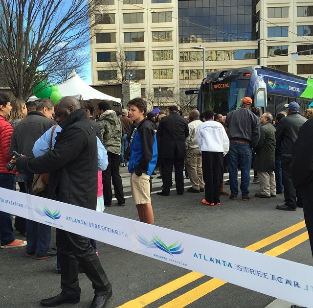
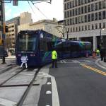
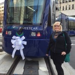
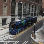
Atlanta’s initial modern streetcar line went into service yesterday. It marks the first time for streetcar operations in Georgia’s capital city since service was phased out in 1949.
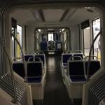
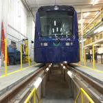
The $90 million project, which relied upon $47 million from TIGER II funding, has a similar system design as Cincinnati’s system, but utilizes different rolling stock. In Atlanta, transit officials opted to award a $17.2 million contract for four vehicles to Siemens. Like Cincinnati, however, the vehicles are capable of expanded capacity more akin to light rail trains in use around North America.
Inaugural Run [Paige Malott]
Ribbon Cutting Ceremony [Paige Malott]
Opening Ceremony [Paige Malott]
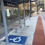
ADA Station Accessibility [Paige Malott]
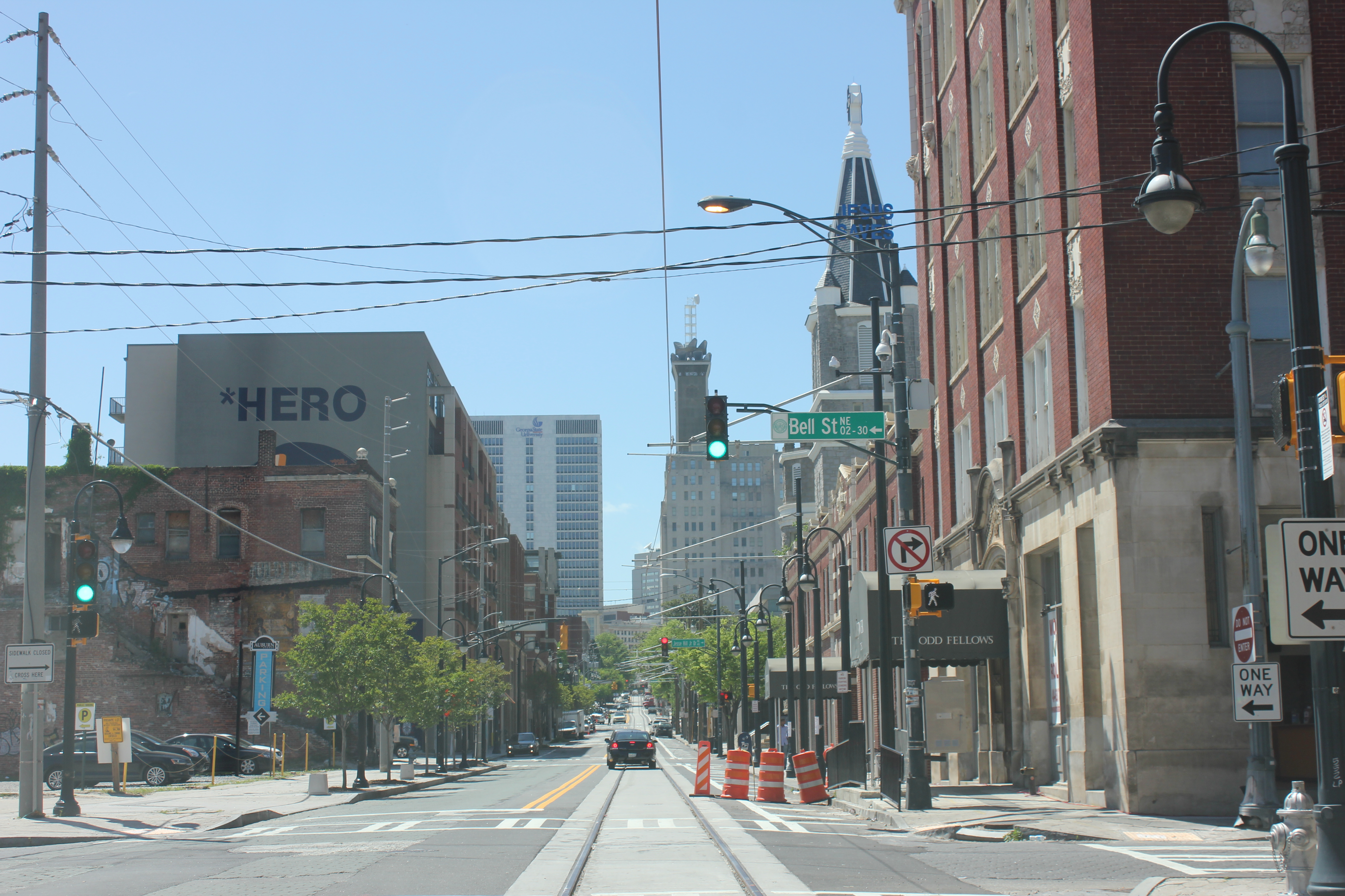
Streetcar Tracks [Paige Malott]
Siemens S70 Interior [Paige Malott]
Opening Ceremony [Paige Malott]
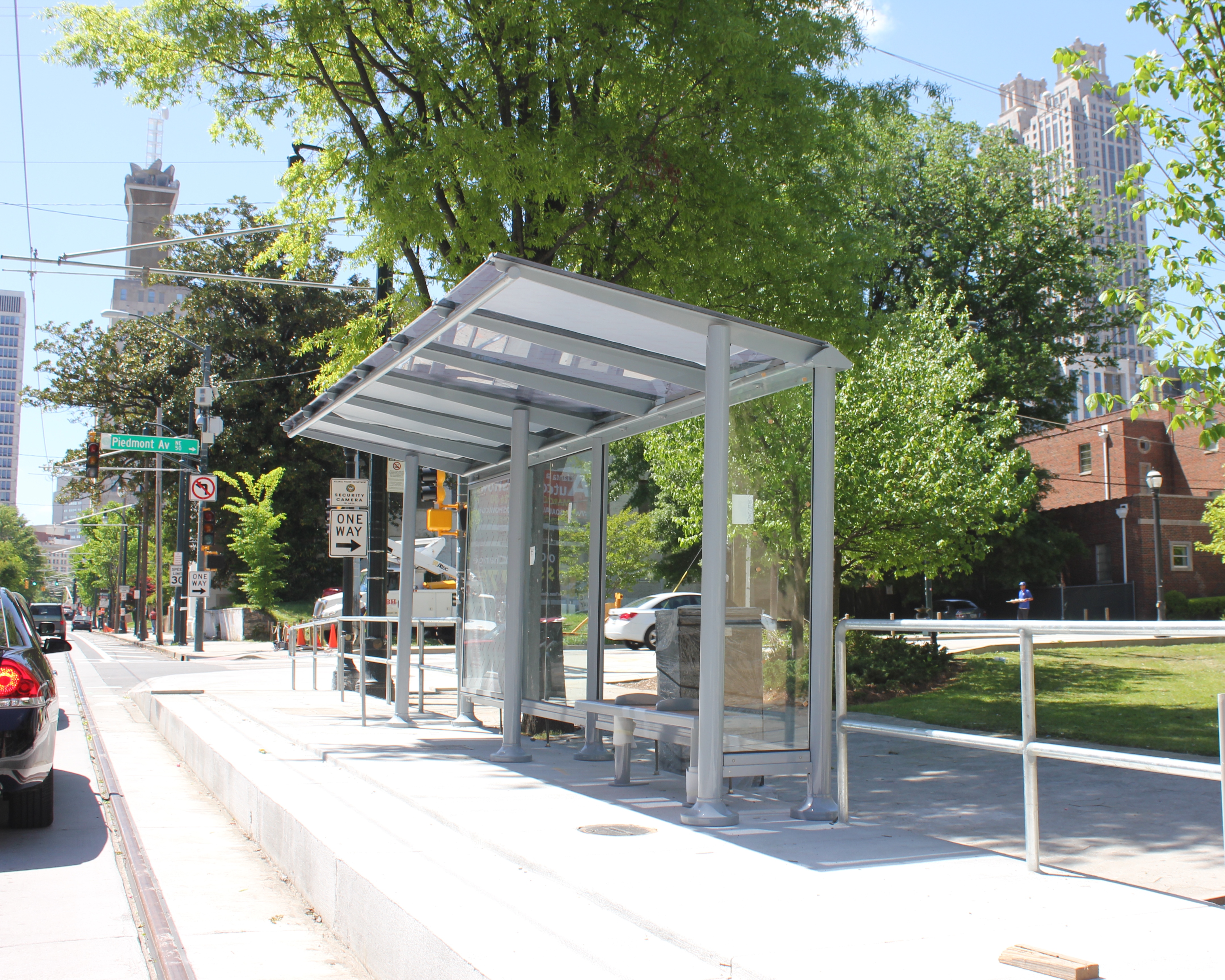
Park Place Station [Paige Malott]
Cincinnati Representing in Atlanta [Paige Malott]
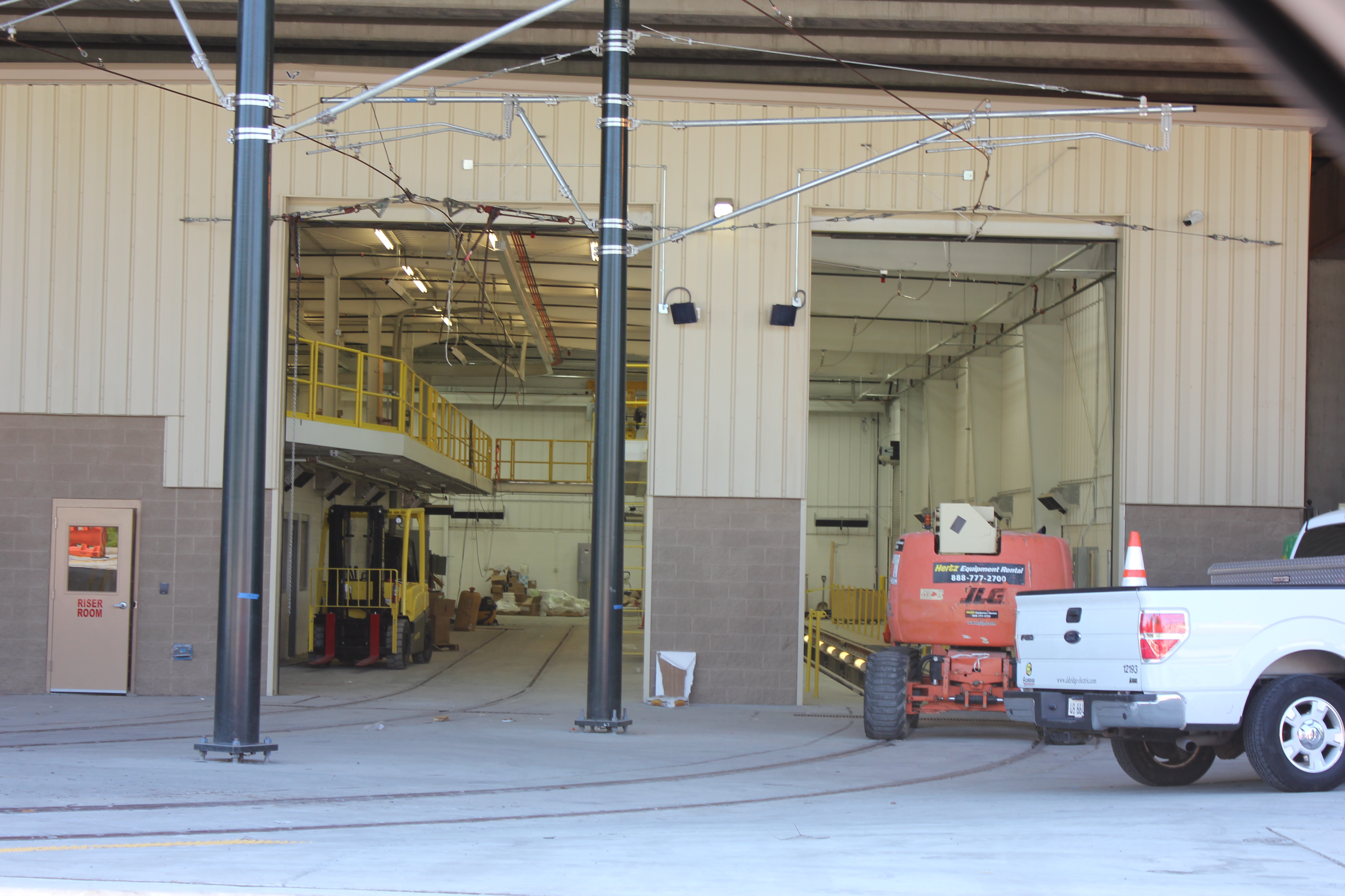
Maintenance Facility [Paige Malott]
Celebratory Confetti in Tracks [Paige Malott]
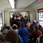
Ridership at Capacity [Paige Malott]
Streetcar at SkyView Atlanta [Paige Malott]
The reason for such planning is that this streetcar segment is seen as the first part of a much larger network that folds into the comprehensive Atlanta BeltLine project. As part of that, planners anticipate building a 63-mile network of modern streetcars throughout the heart of the 448,000-person city.
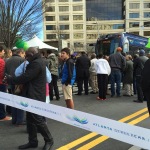
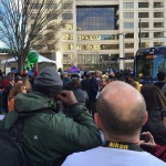
City leaders, civic boosters and transit officials gathered in downtown Atlanta yesterday to celebrate the occasion. Paige Malott, an UrbanCincy contributor, was there to capture the scene and reported capacity crowds on the initial trains in operation.
“First ride inside the Atlanta Streetcar, and it is standing room only,” Malott wrote. “It is at capacity with 150 riders; super smooth ride!”
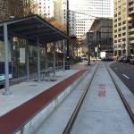
The 2.7-mile route is notably smaller than Cincinnati’s initial $148 million segment, which is 3.6 miles and features 17 stations, and is planned to average 15-minute headways.
Starting at Centennial Olympic Park and ending in the King Historic District, the initial features 12 stations and is envisioned to connect people to a slew of attractions spread throughout the center city, while also spurring redevelopment on the southeast edge of the central business district.
Like Cincinnati, the City of Atlanta is the owner of the project while MARTA oversees its operations. The Atlanta Downtown Improvement District is also a part-owner.
The Southwest Ohio Regional Transit Authority (SORTA) announced their selection for a new Chief Executive Officer and General Manager, to fill Terry Garcia Crews’ vacated position, earlier this month. Dwight Ferrell was the person tapped for the position, and will take over effective January 5, 2015.
Ferrell boasts a long a diverse career in the transit industry. He will join Metro following his service as the County Manager for Fulton County, Georgia, where he oversaw more than 5,000 employees along with the county’s state and federal legislative agenda. In addition to that, Ferrell also previously worked with Atlanta’s largest transit agency as the Deputy General Manager and Chief Operating Officer at MARTA – America’s ninth largest transit system.
Ferrell’s background extends beyond the Atlanta region and includes transportation experience in Austin, Dallas, New Orleans and Philadelphia. According to Metro officials, he is also an active member of the American Public Transportation Association, Conference of Minority Transportation Officials, and Transportation Research Board.
Prior to taking over as Metro’s new CEO, Ferrell kindly agreed to an interview with UrbanCincy. The following interview was conducted on December 22, and is included below in its entirety.
Randy Simes: Coming from Atlanta, and having worked on their streetcar project, did you and Paul Grether, Metro’s current Rail Services Manager who previously worked as MARTA’s Streetcar Development Manager, ever work together? If so, how was your experience working with him, and how might that experience be beneficial moving forward with the operations of the Cincinnati Streetcar? Dwight Ferrell:I did work with Paul and have the highest regard for his knowledge about rail transit. Paul serves as the chair of the American Public Transportation Association’s streetcar committee, which is in Cincinnati this week to see the Cincinnati Streetcar construction.
Cincinnati is fortunate to have Paul working on this project. I am confident that under his leadership all Federal requirements will be followed and we’ll be ready to operate the streetcar in 2016.
RS: If there is one thing from your experience with MARTA that you could copy and duplicate at Metro, what would it be and why? DF:I really believe in performance management. It’s important for the community to know how we’re doing and for us to be transparent.
RS: When Atlanta pursued federal funding for its streetcar, there was the idea that the city needed to choose between seeking funding for rail transit for the BeltLine or the streetcar. Ultimately Atlanta went with the streetcar. If presented with a similar dilemma in Cincinnati, about a second phase of the streetcar or the Wasson Line, which do you think you would be more inclined to support and why? DF:These are local decisions based on many factors, and it’s too early for me to evaluate the merits of projects in Cincinnati. The process of securing Federal funding for rail projects requires intensive analysis and review to determine if a project would be eligible for funding to move forward. It’s a highly competitive funding arena.
RS: MARTA was dealt a blow with the defeat of TSPLOST, but gained a big victory recently when Clayton County voters approved an expansion of MARTA to their county. With SORTA exploring potential transit tax increases and service expansions of its own, what do you think should be learned from those two very different experiences in Atlanta? DF:Each region is unique. I need to get to know what the community wants in terms of expanded transit, so any talk of funding increases is premature at this time. That said, Metro is a status quo system; if we add service somewhere, it has to be decreased somewhere else. We can’t add service to meet the community’s need for access to jobs without more funding.
RS: Metro*Plus service has seemed to be a hit since its initial launch. Metro has publicly stated its interest in establishing several more Metro*Plus corridors, but what is your take on reducing stop frequency along all routes in order to improve travel time? DF:Limited stop services like Metro*Plus are just one tool in the toolbox, and they work great in some applications. They offer a faster ride, but speed is not always the only consideration. For some neighborhoods, convenient access to a bus stop is critical, especially for older riders and riders with disabilities.
Uptown Transit District Vine & Calhoun Station [Eric Anspach]
Atlanta Streetcar [Provided]
Envisioned Metro*Plus Corridors [Provided]
RS: How do you envision Metro’s existing and future bus service working together with not only the first phase of the Cincinnati Streetcar, but other potential rail transit in the region? DF:It is imperative that Metro bus service and other modes function as an integrated transit system without redundancy. The goal should be a seamless transit experience. This means easy transfers between modes, a coordinated fare structure, shared infrastructure like ticket vending machines and back-office technology related for emergency response and vehicle movement.
RS: The best-scoring bus rapid transit line in North America is Cleveland’s HealthLine, but it scores a mere 63/100 points. Do you think true BRT, as defined by what has been built in Bogotá and Curitiba, is appropriate for North American cities? Furthermore, would you support the development of such a corridor in Cincinnati? DF:BRT is appropriate in some cities and some applications depending on the objective. I need to get to know Cincinnati before judging whether BRT is right for this community. Federal funding for BRT has become more restrictive in recent years and finding exclusive right of way is sometimes difficult in older cities with high density. The decision whether or not to build BRT is really about what works for Cincinnati.
RS: How does Cincinnati’s cold weather and its hills differentiate it from your past experience? How do these conditions impact how you run a transit system? DF:I worked at SEPTA in Philadelphia, so I do have some familiarity with what winter can mean to transit in northern cities. Transit is adaptive — if a hill is impassable, we find a way around. We’re all dependent on the road conditions and we stress safety. Today we have the ability to use social media to keep customers updated on what’s happening with their service, which is a benefit.
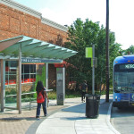
RS: A topic UrbanCincy has continually raised up for discussion is what could/should be done with the Riverfront Transit Center. A variety of ideas have been suggested, but in your opinion what do you think is the future of that facility? DF:I visited the Riverfront Transit Center when I was in town last week, and it is an impressive facility. It’s used every weekday, about every 15 to 30 minutes, for Metro*Plus service and it’s used for Bengals and Reds games and special events. It’s my understanding that the All-Star Game coming to Cincinnati next summer will depend heavily on this facility for staging of buses and other vehicles. That’s what the Riverfront Transit Center was built to do: serve Cincinnati’s redeveloped riverfront venues and events. Long term, our goal is to maximize its use.
RS: What transit system in the world impresses you the most and why? DF:Each system has its own appeal. Of course, mega-systems like New York City and Washington D.C. are impressive because of their sheer size and the incredible number of people they move every day. I think the most impressive systems are the ones that allow people to move around without the need for a car.
RS: Finally, what first made you interested in transit and want to pursue a career in the industry? DF:I was 23 when I started as a bus driver in Dallas, and I was a bus driver for 10 years. When the merger occurred with DART, new opportunities opened up for me in management. My career progressed to the C-suite and those positions allowed me to work at the most senior levels of transit management across the country. I feel blessed to have found a career and an industry that I am passionate about. Metro recently started the John W. Blanton internship to provide an opportunity for college students to experience the transit industry as a career path, and I support that effort.
Dwight Ferrell holds a BA in Business Administration from Huston-Tillotson University. He can be reached at dferrell@go-metro.com.
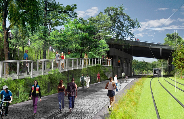
Overpass at North Highland Avenue [Atlanta BeltLine]
Following the guidance of City Council, Cincinnati’s Department of City Planning & Buildings has completed its land use study for the Wasson Railroad Corridor. The study’s findings and recommendations offer the clearest guidance to-date as to how to proceed with redeveloping the abandoned freight rail corridor, following the issuance of preliminary designs in July 2014.
City planners took a comprehensive look at the history of the corridor, its current conditions and the best path forward that respects the desires of the city and the impacted neighborhoods.
In that analysis City staff revealed seven studies and plans that recommend the corridor either be used for rail transit, or a combined multi-modal network that accommodates rail transit, bicycles and pedestrians. Some of the most notable of these include the 2002 MetroMoves regional transit plan, 2010 Bicycle Transportation Plan, 2012 comprehensive Plan Cincinnati, and the 2013 Railroad Safety Improvement Plan – all of which either specifically call for the corridor to be used for rail transit, or a multi-modal corridor.
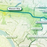
Wasson Way Trail [Provided]
The history is important as it influenced the study’s recommendation as to how to proceed with acquiring and preserving the corridor. As of now, the 5.7-mile Wasson Railroad Corridor is still owned by Norfolk Southern, but the City of Cincinnati has stated that they are in the process of acquiring the property from them.
“With this corridor being so crucial to the future development of multi-modal transportation in the City, the threat of potential development within the railroad right-of-way would significantly slow down, if not completely hinder, those possible public transportation opportunities from occurring,” city planners wrote in the 32-page land use study released earlier this month.
Of course, this fact has been known by policy makers at City Hall for years. As a result, City Council has, on several occasions, approved interim development controls to protect the corridor from being built upon. These controls, however, are just temporary and city officials must now decide how they would like to move forward.
In the study city planners examined the pros and cons of three potential options for accomplishing this.
The first option examined the idea of rezoning the property to a Parks and Recreation classification. This would offer the corridor significant protections, but it would also severely restrict the City from being able to implement rail transit in the future due to federal regulations that prohibit the use of public parks or wildlife refuges for transit corridors.
A second option studied looked at simply dedicating the land as City right-of-way. This too would offer significant protections, but is not possible until the City acquires the land from Norfolk Southern.
The third option, and the one recommended by city staff, is enacting a Transportation Overlay District over the corridor. While planners admit that crafting the language for such legislation may be complicated, they also stated that it would be most aligned with the preferences of neighborhood residents and publicly adopted planning documents.
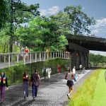
In order to address the complexity of the legislation required for such an overlay district, city planners recommended looking at the Atlanta BeltLine Overlay District that was implemented to protect a 22-mile abandoned freight rail corridor. In Atlanta civic leaders are currently in the process of converting the corridor into a similarly envisioned multi-modal network with rail transit, bikeways, parks and pedestrian paths.
The Square at Ford Factory Lofts [Atlanta BeltLine]
Overpass at North Highland Avenue [Atlanta BeltLine]
Irwin Promenade [Atlanta BeltLine]
“While all options present advantages and disadvantages, the Transportation Overlay District is seen as the best solution for preservation of the Wasson Railroad Corridor,” city planners wrote. “This tool, while it may take a bit longer to craft the ordinance language, will provide more flexibility and also protect the contiguous nature of the corridor.”
City officials say that this solution will allow for the development of the Wasson Way Trail to move forward in the near term, while affirming the City’s intentions to develop the corridor as a multi-modal transportation facility that includes rail transit in the future.
The solution crafted by the Department of City Planning & Buildings appears to be a perfect compromise between the two constituencies looking to use the corridor. Bicycle advocacy groups can see the right-of-way acquired and preserved so that they can move forward with their plans for a bike and pedestrian trail, while transit advocates can rest assure that those immediate efforts are not being done in conflict with ongoing planning and design work for a future light rail line.
With the Wasson Railroad Corridor Land Use Study now complete, it will go before the city’s Planning Commission. Should it be approved by Planning Commission, it will then go back to city staffers so that draft overlay district language can be crafted and recommended to City Council. From there, it would go before City Council for approval.
It is a standard process and one that advocates hope can be completed in the coming months.
A few weeks ago I journeyed seven-plus hours by car from Cincinnati to Atlanta for the American Planning Association’s (APA) national conference. The five-day conference was held in the Georgia World Congress Center in the core of Atlanta between downtown and Vine City.
This was my first trip to Atlanta since passing through the city in the early 1990’s.
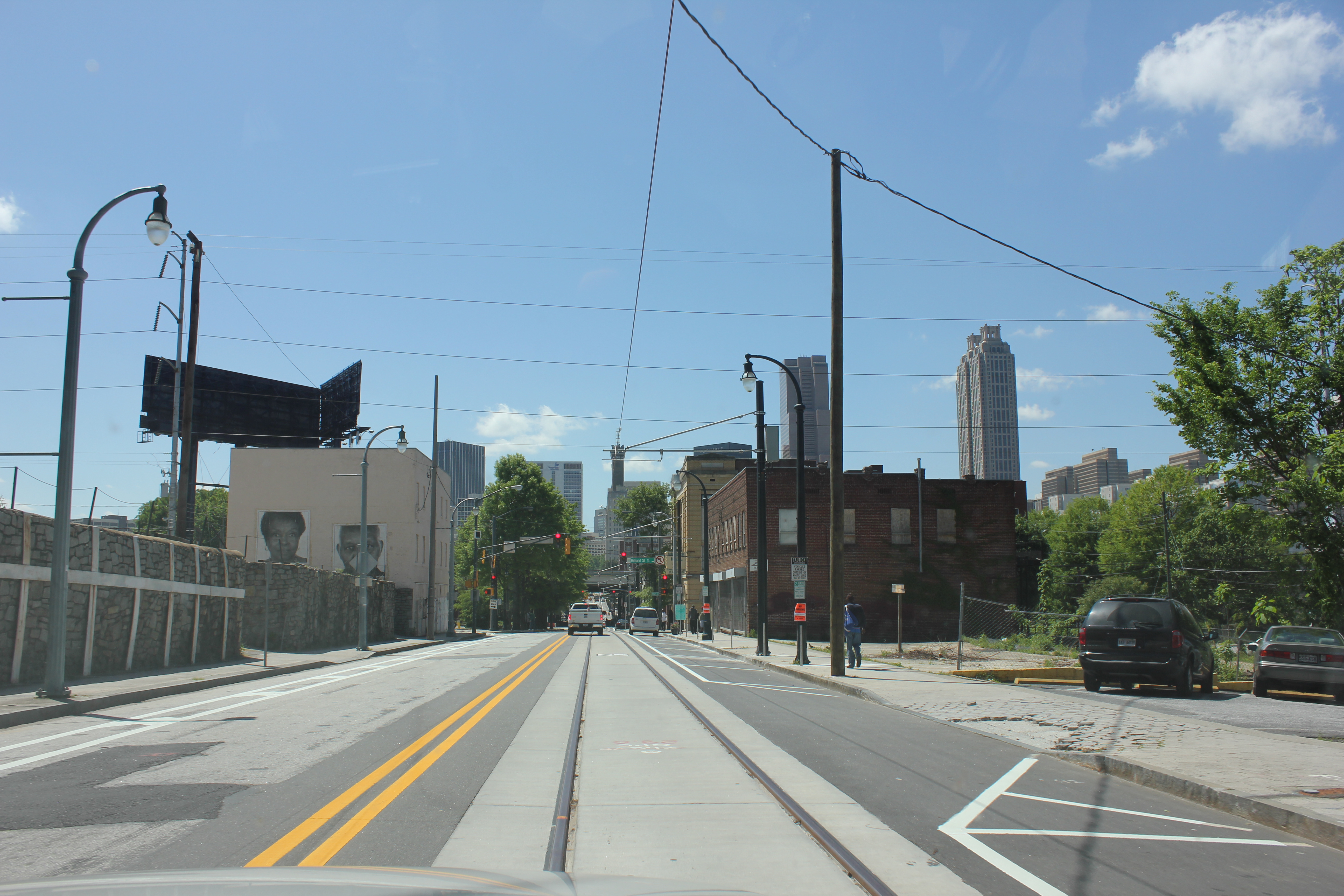
For an urbanist, the city of Atlanta at first glance is a conundrum. Subway stations that seem to feed park and rides, buildings that barely front the street and streets with no crosswalks where pedestrians play a dangerous game of Frogger just to cross to the other side are all typical occurrences in the city.
However the city is all of these things and more. Atlanta boasts beautiful and funky neighborhoods such as Poncey Highlands, Little Five Points and Castleberry Hill. Beautiful parks such as Inman Park and the Frederick Law Olmsted-designed Piedmont Park.
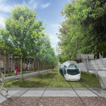
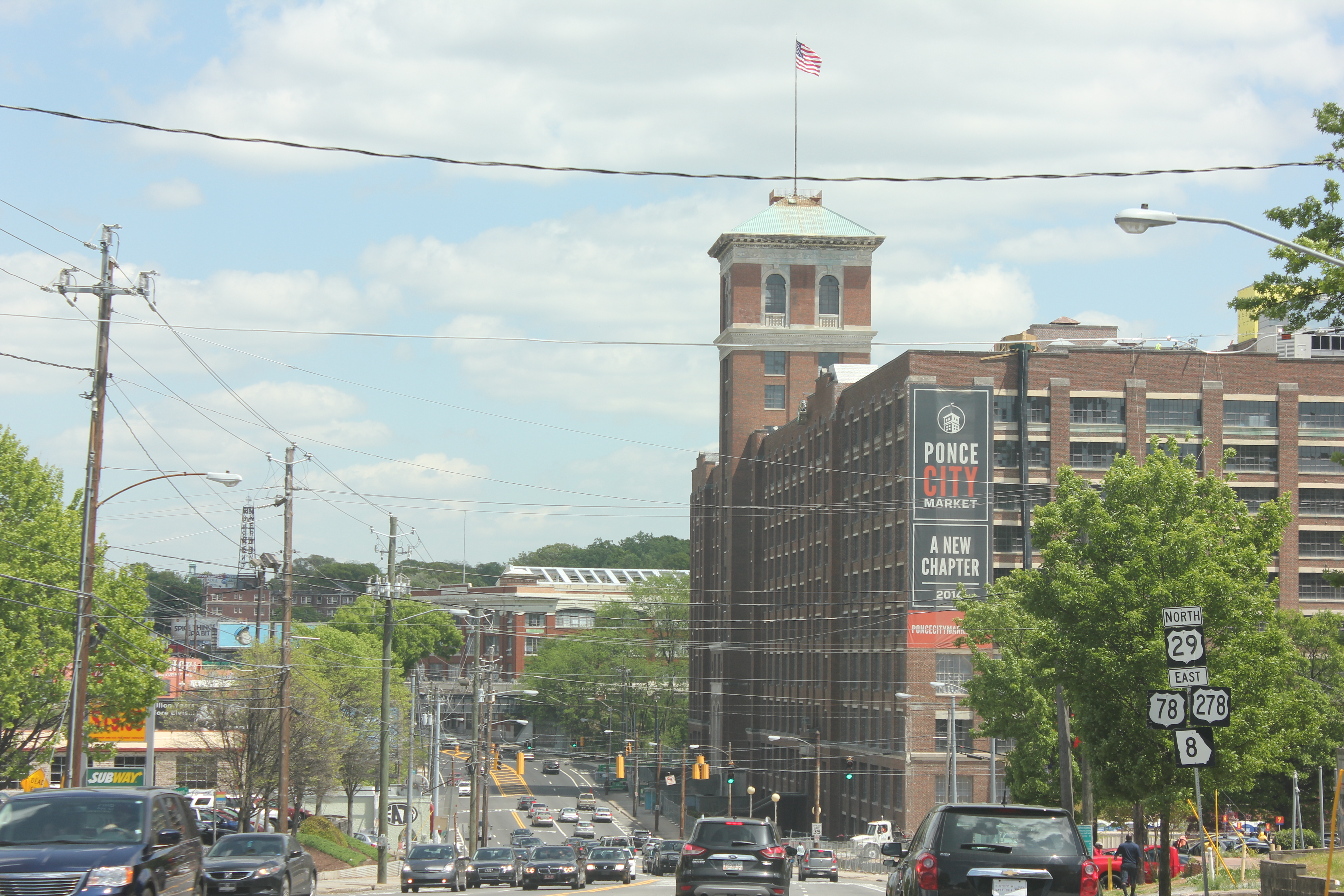
The BeltLine, a multi-modal transportation corridor we reported on last week, has sparked development along its route and spurred pedestrian and bicycle connectivity between many of Atlanta’s intown neighborhoods.
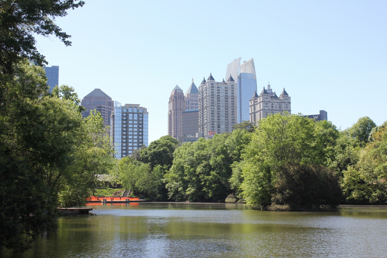
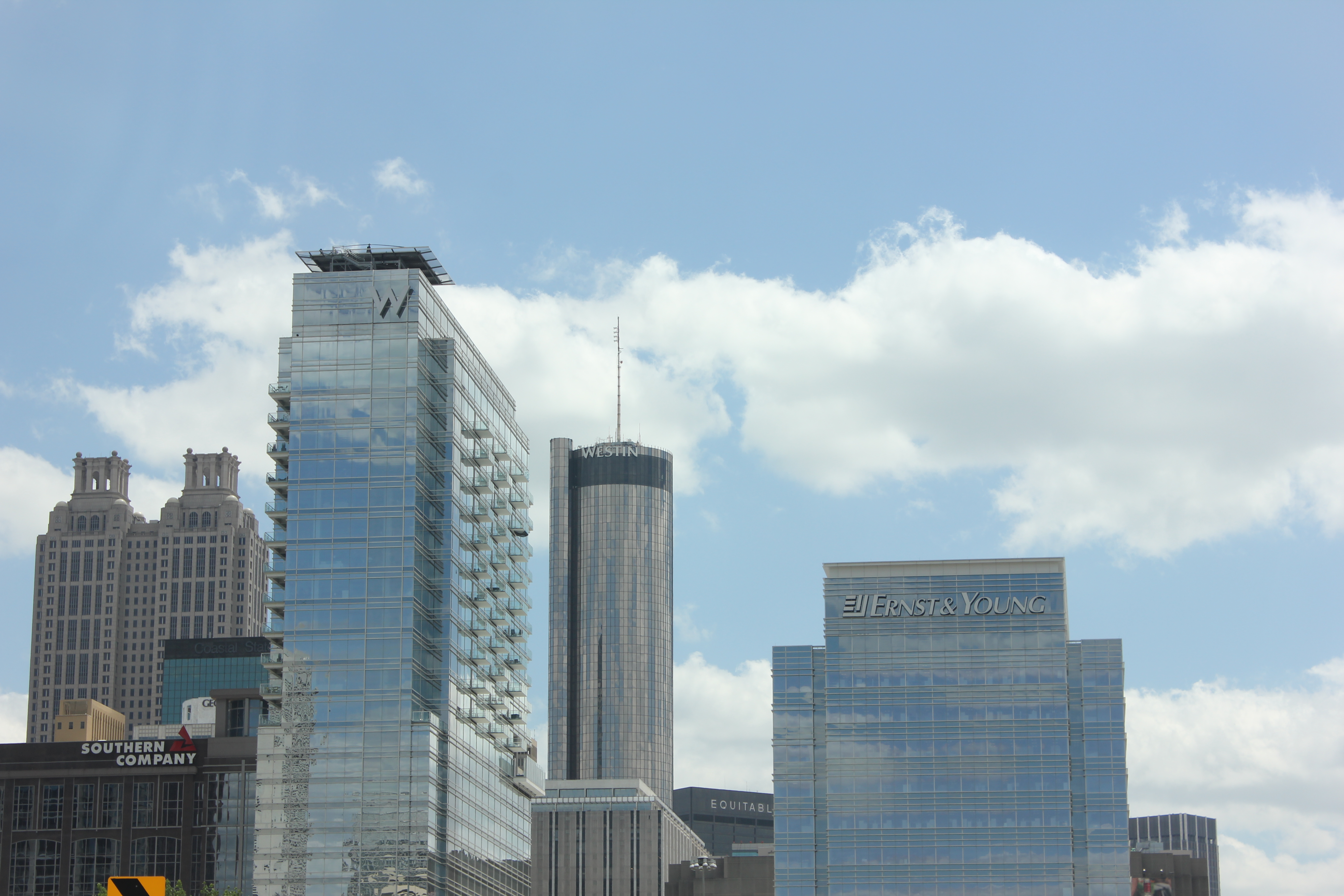
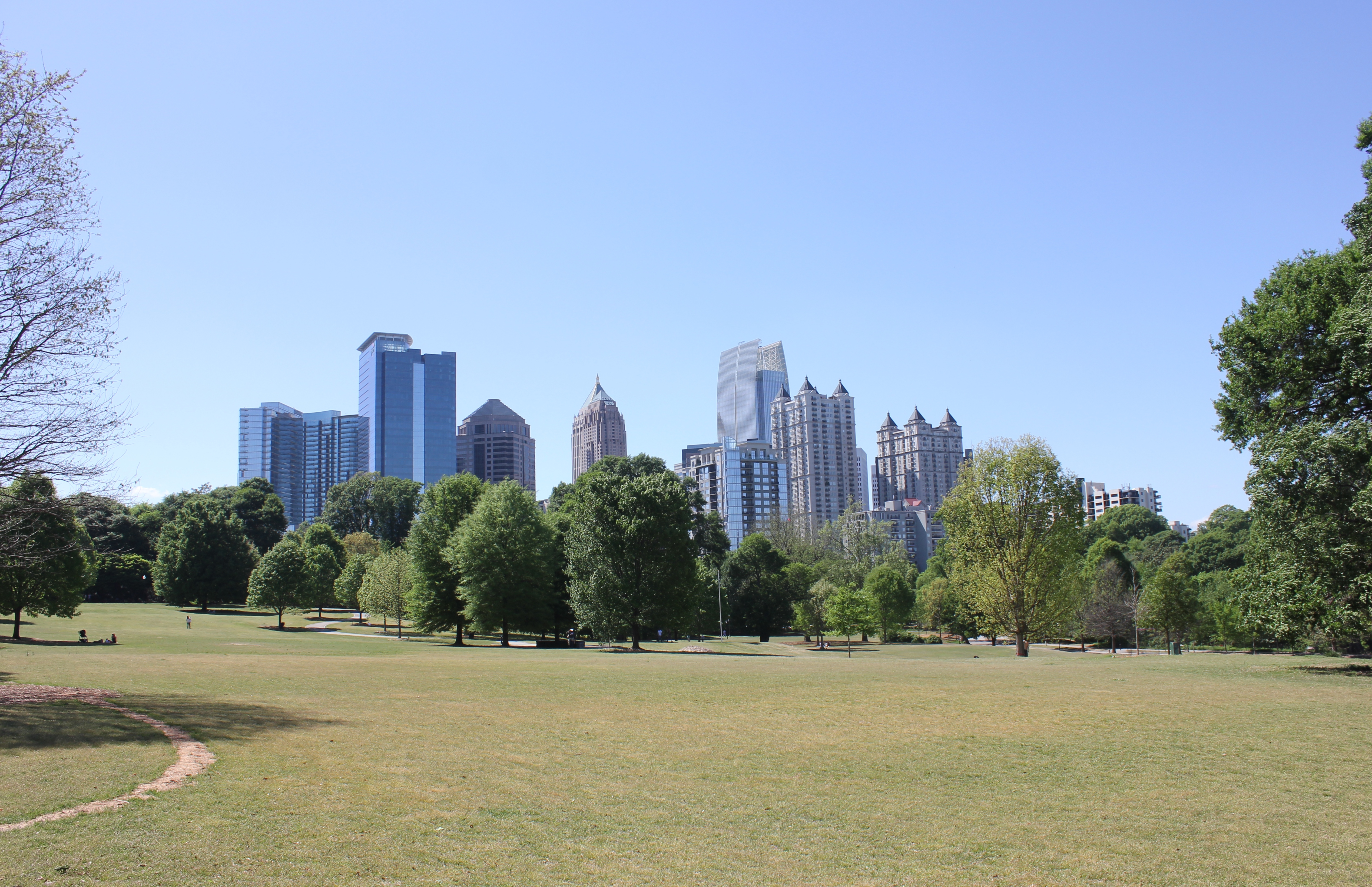
The Midtown Skyline
Downtown Atlanta
Redevelopment in Poncey Highlands
Atlanta Streetcar track and wire
Streetcar power substation
Atlanta Streetcars by Siemens
Streetcar Maintenance Facility
Finished Streetcar track
Completed Streetcar Station
Midtown from Piedmont Park
Residential high rises in Midtown
Beautiful historic homes near Piedmont Park
The skyline from Piedmont Park pond
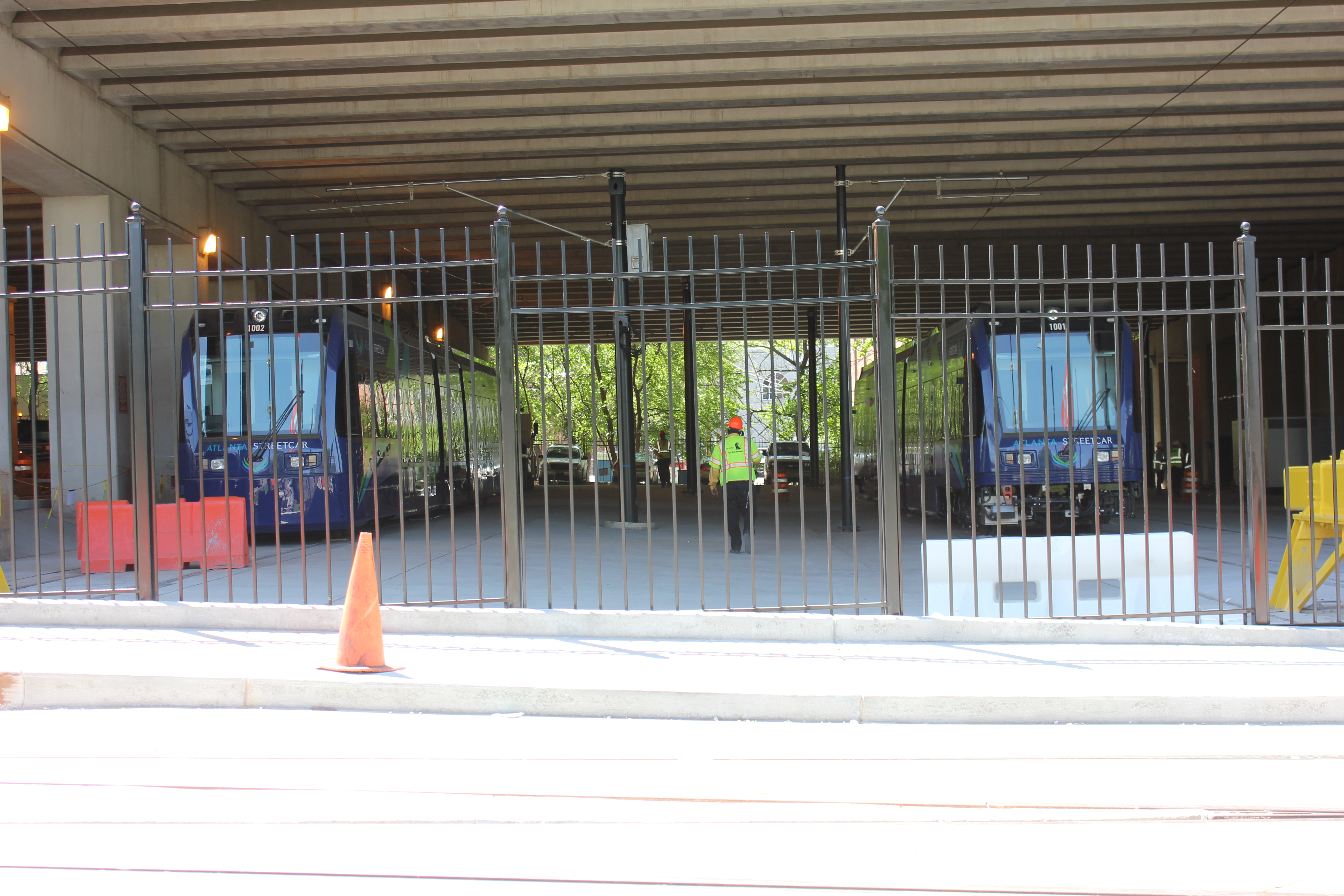
During the conference I also had a chance to view the Atlanta Streetcar, which could begin operating later this year. Planners in Atlanta have tucked the streetcar’s maintenance facility under a highway viaduct. This is where the streetcars that have already arrived are now being stored.
As you might expect, social divisions by income were evident. I had a chance to explore some of Vine City, which is located just west of where the conference was held and was also home to Martin Luther King Jr. This neighborhood has given way to abandonment and decay. Empty lots, run down houses and discarded vehicles littered the streets.
At the conference, one particular session focused on the redevelopment of Vine City and the adjacent English Avenue. During that session, neighborhood leaders and proponents of the redevelopment plan were questioned vigorously by a representative from a community group that is active in those neighborhoods. The challenges reminded me of the not-so-distant past for Over-the-Rhine and other Cincinnati neighborhoods, such as the West End or Avondale, that are still struggling to rebuild what they have lost over the years.
On the last day of the conference, the APA announced that they had completed a survey which found that both Millennials and Baby Boomers prefer to live in urban settings where there are plenty of transportation options and walkable neighborhoods.
“If there is a single message from this poll, it’s that place matters,” stated APA’s executive director, Paul Farmer, in a prepared release. “Community characteristics like affordability, transportation choices, safe streets, high-speed internet and housing that can accommodate others or enable you to live there as you grow older matter as much as job opportunities.”
It seemed odd that the APA would choose to release this information while hosting a conference in an infamously automobile reliant city; but, while Atlanta is a city that is still overrun by the automobile it is showing signs that communities, residents and activists are coming together to push for neighborhood connectivity and pedestrian improvements.
Even though my initial impression was that the city serves as a dystopian future for urbanism where pedestrians are marginalized in urbanized places, after learning more about the city at the conference, it is encouraging to see that old mentality is changing.