Categories
Development News Transportation

Hamilton Looking At Possibility of Developing Urban Trail on City’s West Side

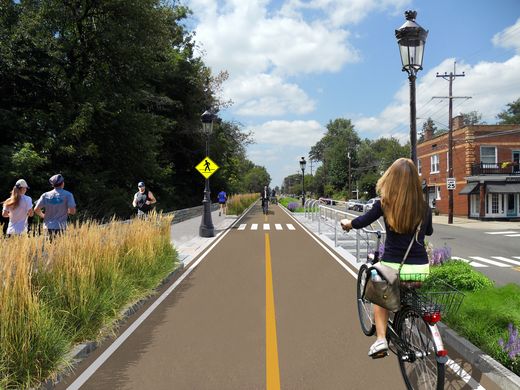
The City of Hamilton is looking at the possibility of acquiring approximately 36.5 acres of land from CSX Corporation following its filing for abandonment of the former freight railroad. If city officials ultimately decide to proceed with the purchase, the plan will be to turn it into an urban bike and pedestrian trail on Hamilton’s inner west side.

Running from CSX’s main line in Millville to the former Champion Paper Mill, which is in the process of being redeveloped into a youth sports and entertainment complex, the property also includes a former railyard near the Great Miami River at Two Mile Creek.

Hamilton’s west side neighborhoods currently lack any protected bike lanes or off-street bike paths. As a result, the possibility of adding such an amenity has community leaders excited.

“The proposed Beltline trail will be of great value to our community,” said Hamilton Councilman Rob Wile. “By connecting these neighborhoods to our existing trail infrastructure we open up a number of convenient outdoor recreational opportunities to our residents.”

Earlier in the year city officials hosted public hearings to gather feedback on the concept, and are continuing to gather feedback through an online survey. The results, they say, will help determine whether they should ultimately pursue the project.

“The survey lets the City know what kind of benefits residents see in the trail, how often they may use it, what potential negative aspects or problems may occur with it; and is being used to see what generally the public thinks about the potential trail,” Nicholas Garuckas, City Management Fellow inside Hamilton’s Office of the City Manager, explained to UrbanCincy.

“The [survey] results are carefully being looked at and considered in helping determine whether or not the City should be moving forward with this project or not.

In the meantime, Garuckas says that City Hall is moving forward with an appraisal of the land’s value, along with assessing the possibility of various grants from agencies like the Ohio Public Works Clean Conservation Fund, Rails to Trails Conservancy, Dopplet Family Fund, Ohio Department of Natural Resources Clean Ohio Trail Fund, and Recreational Train Fund.

The project follows a pattern of other more marque urban trail projects around the country that are transforming former industrial rail corridors into park and recreation space for under-served urban communities.

Last June, Chicago celebrated the opening of its 2.7-mile trail called The 606. Atlanta, meanwhile, has been opening segments of its much larger 33-mile BeltLine project in phases over recent years. Nearby, in Cincinnati, city officials are poised to acquire an abandoned 7.6-mile freight rail line in its eastern neighborhoods for what is being called the Wasson Way project.

While smaller in scope, the approximately 2.7-mile Hamilton Beltline has, at least initially, has gained the support of Hamilton City Council, and is rooted in the city’s planning documents. In fact, city officials explain that the idea for the project came out of discussions about what to do with the Champion Paper Mill complex and surrounding areas.

“This project is part of the bike path master plan and it will be an asset to all those who enjoy the outdoors including walkers and joggers,” Wile concluded.

If Hamilton is successful in acquiring the land, it would add significant recreational facilities and new transportation options to the city’s west side. If abandonment proceedings continue without Hamilton moving to purchase the property, it will instead be sold off in piecemeal fashion to private owners.
Categories
Business News Transportation

Metro, Uber Ink Deal Aimed at Addressing First and Last Mile Connections for Transit Riders

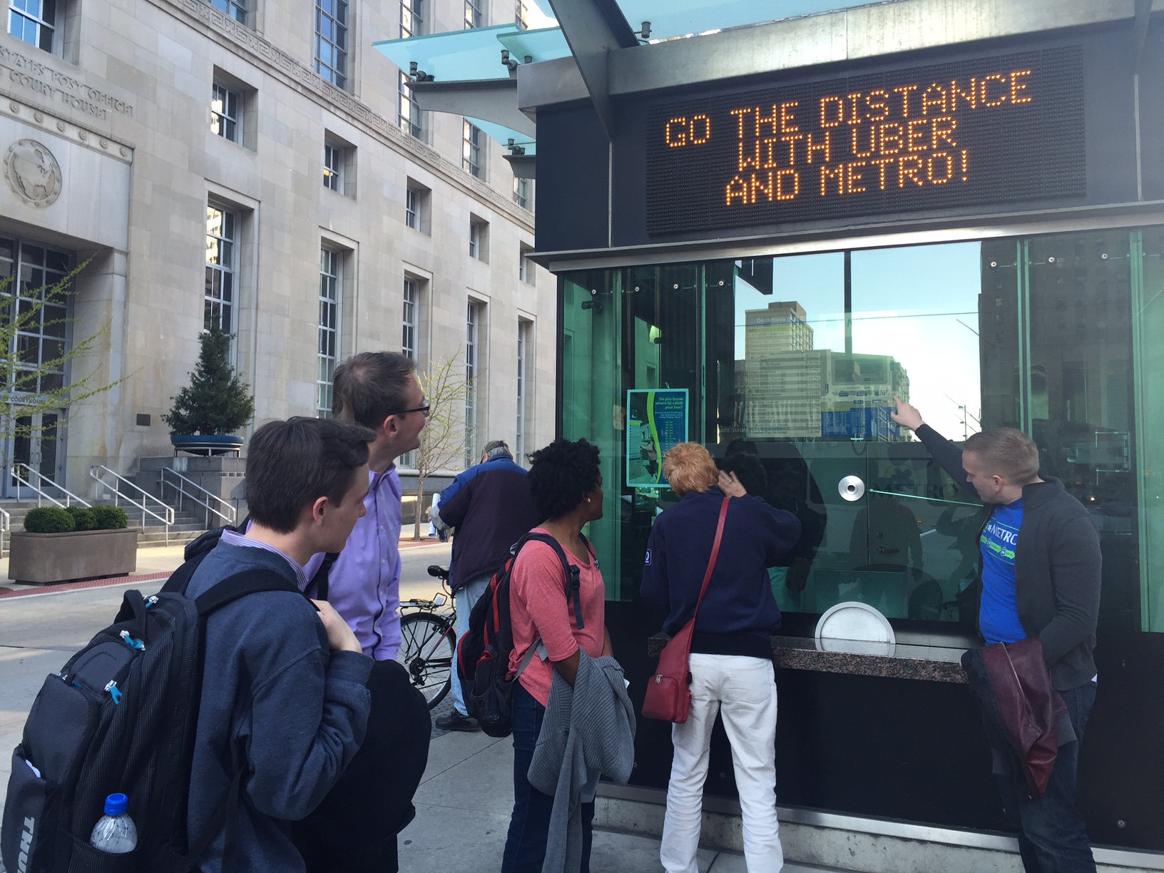
Business leaders from Uber and transit officials with the Southwest Ohio Regional Transit Authority gathered yesterday to announce a new partnership between the region’s largest transit provider and the increasingly omnipresent ridesharing service.

As part of the partnership, Metro will place interior transit cards on buses advertising a unique code that will offer a free ride to first-time Uber users. While the deal is similar to Uber’s many other marketing relationships, it may be the first step toward greater collaboration between the two organizations.

“Many of our customers have expressed their interest in using rideshare services like Uber in conjunction with their Metro trip to bridge the gap between service hours and locations,” Metro CEO & General Manager Dwight A. Ferrell said in a prepared release.

In other cities, like Dallas and Atlanta, Uber has partnered with regional transit agencies to integrate their mobile app with the route planning offered within the transit agency’s app. However, these relationships have been critiqued for what being a lopsided arrangement favoring the fast-growing tech company.

Other partnerships looking to address the first mile, last mile challenge have so far struggled to amount to much, but this has not stopped transit officials in Minneapolis and Los Angeles from inking deals to cover trip costs on Uber as part of their respective guaranteed ride home programs.

Such issues, however, are not deterring Metro officials from looking at the potential upsides that might come out of the partnership.

“We’ve seen the significant success Uber has had with other major public transit providers,” Ferrell stated. “We believe Uber is an ideal partner to help us meet the needs of our customers, ultimately making their experience as convenient and enjoyable as possible.”

If the partnership is successful, it could create significant value for Metro riders and help tackle one of the most difficult challenges facing transit agencies throughout North America – how to get riders to and from transit stations without the use of a personal automobile. Eliminating such a problem would allow many people to significantly reduce their reliance on a personal automobile, or eliminate it altogether.

Uber and Public Transit Pairing [FiveThirtyEight]

“Cincinnatians are already combining Uber and Metro to reach their destinations and we are excited to partner to spread the word further that Uber is an option to take Metro riders that ‘Last Mile,’” said Casey Verkamp, general manager of Uber Cincinnati.

Verkamp and Ferrell are right in being optimistic about the potential. An analysis by FiveThirtyEight found that people the combined cost of public transit and Uber becomes more cost effective than owning a personal automobile when the person uses public transit for approximately 85% of their trips and Uber for the rest.

With the average household making 2,000 trips annually, that equates to roughly 300 Uber trips per year. Of course, the average Cincinnatian takes far fewer than 1,700 trips per year on public transit, so a fully functioning arrangement of this kind would be hugely beneficial for both Uber and Metro. The main problem in Cincinnati is that the vast majority of people living in the region are not well-served by transit, and are essentially unable to take 85% of their annual trips by public transit.

Nevertheless, this is the first partnership of its kind in Ohio. While its limited scope leaves much unanswered about how it will benefit area transit riders over the long-term, it does illustrate that Metro officials are thinking about the future of how to move people effectively and efficiently throughout the region.

“This partnership exemplifies how cities like Cincinnati are embracing innovation and creative solutions to meet the needs of their residents,” Verkamp concluded.

Categories
Development News

Columbus is not the biggest city in Ohio, and Indy’s not bigger than Boston

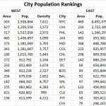
Following the release of the U.S. Census Bureau’s updated population numbers for American cities, much has been made about the urban rise of the west. Even the Census Bureau itself touted the growing number of cities with more than 1 million people – the vast majority of which are located west of the Mississippi River.

These numbers can be misleading, and often don’t even pass the smell test.

Is Jacksonville, for example, really a bigger city than Detroit, Washington DC, Atlanta and Boston? Or out west, would most people actually consider Phoenix to be a larger city than San Francisco, Seattle, Denver or San Diego? Of course not.

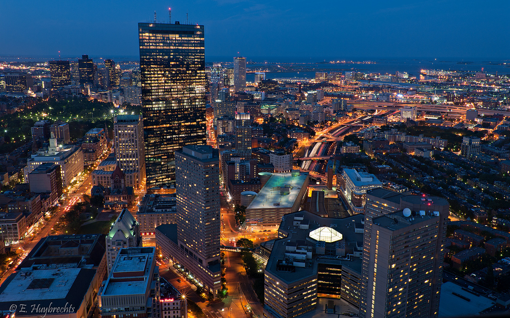
In both scenarios, however, that is precisely the case. That is because the municipal boundaries for Jacksonville (885 square miles) and Phoenix (517 square miles) are disproportionately large compared to the population of their city. Closer to home the same is true for Columbus (223 square miles), Indianapolis (368 square miles) and Charlotte (298 square miles) – all of which skew the average population density for cities east of the Mississippi downward due to their huge municipal footprints.

If you were to simply pick-up a daily newspaper and read the listing of America’s most populated cities, you would not get this full perspective and perhaps be misled to think that Columbus is the biggest city in Ohio, or that Indianapolis is the fifth largest city east of the Mississippi River.

Using this same practice, some might consider Cincinnati to be a small city that doesn’t even crack the top 30 in the United States.

Of course, we know all of this is skewed by all sorts of factors. Some cities sit on state or county lines, others follow historical boundaries from hundreds of years ago that have never changed, while other are granted more liberal annexation capabilities. In short, it’s politics.

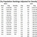
Now if we were to look at America’s 30 most populous cities again, but rank them by population density instead of overall population, the picture would change rather dramatically. Most cities in the west fall considerably, while older cities in the east would rise. The outliers that have artificially inflated their boundaries over the years also fall into a more normalized position on the chart.

While Cincinnati is not in the top 30 in terms of population, we considered it anyways since this is UrbanCincy after all. After adjusting for population density, Cincinnati would vault all the way to the 16th “biggest” city in America, just behind Denver and ahead of Dallas. This is also more in line with Cincinnati’s metropolitan population ranking that falls within the top 30 in America.

Those cities in this analysis that are in the east have an average population density, outliers included, of 6,579 people per square mile, while those in the west, come in at 3,804 people per square mile.

If outliers like Jacksonville actually were as large as they project, and followed the average population density for the region, it would need to add close to 5 million people. Likewise, Indianapolis would need to add around 1.6 million people and Charlotte 1.1 million. Local politics and market conditions in each of these cities will never allow for this many new people to move within city limits.

The Washington Post is correct in that the west is getting more populated and urbanizing at a fast pace, but let’s not get ahead of ourselves. The most populated cities in the west would only be average, at best, in the east if they were judged by population density instead.

Now, factoring for population-weighted density would be an entirely different ballgame.

Categories
Up To Speed

Not building protected bike lanes is a transport policy failure

Not building protected bike lanes is a transport policy failure.

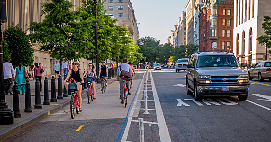
Most cities take a timid approach to building new protected bike lanes. Instead of building out a comprehensive and well-connected network, they go after segments of streets where the introduction of the bike lane will not take a lane of moving traffic or parking away from those driving cars. As it turns out, new research shows that this is a bad approach. More from Streetsblog USA:

Here’s one reason the modern biking boom is great for everyone: more bicycle trips mean fewer car trips, which can mean less congestion for people in cars and buses. But there’s a catch. A recent study shows that when bicycle use rises but cities don’t add bike lanes to put the new bikers in, traffic congestion actually gets worse. In some situations, it gets a lot worse.

If a city doesn’t build bike lanes, then “bikes vs. cars” is actually real. But if a city builds bike lanes, more biking becomes a win-win. Public support for bike infrastructure and programming depends on one crucial concept: that more biking benefits people whether or not they ever ride a bike themselves. Lewis, the Atlanta transportation deputy director, said that’s one big reason it’s important to add bike lanes to busy streets when possible.

Categories
Development News Opinion

Two Big Ideas to Bring Cincinnati’s Urban Housing Boom to Next Level

It has become painfully clear that we are not building enough housing supply to meet demand for center city living. In order to meet those demands, and prevent runaway price increases, now is the time to go big and develop thousands of more units.

In 2014, CBRE released a study about the strength of Cincinnati’s urban real estate market, and noted that the center city housing market could support thousands of additional residential units, even as 2,500 were under development at that time.

This was reinforced by CBRE’s economic outlook for the region released just days ago that said, “The multifamily recovery continues with unabated strength in the Cincinnati MSA with strong demand fundamentals pushing rents higher.” With occupancy hovering around 95% and the strongest demand in the urban core, their real estate analysts expect rents to continue to rise.

As of now, 3CDC is virtually sold out of all of their condos, luxury apartment buildings are being filled in a matter of weeks, and a parade of home builders continues to redirect their attention to the market. But it has not been nearly enough.

While 3CDC has done an incredible job at establishing a viable residential market in Over-the-Rhine, they have only produced a few hundred units over the past decade. Bigger projects in the central business district are turning historic office towers into posh residences, but are doing so at about 100 units per project. Even the long-planned residential tower at Fourth and Race Streets will only include 208 units once it is complete several years from now.

The rate of production at The Banks, which is by far the largest development in the center city, only averages out to a couple dozen units per year when you consider the time it continues to take to build out that massive undertaking.

Something bigger is needed. Something much bigger. Here are two options.

City Hall Quarters
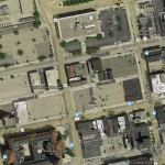
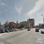
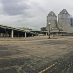
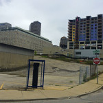
Cincinnati’s majestic City Hall is unfortunately surrounded by decrepit, low-slung parking garages and a smattering of parking lots. The area’s proud history, however, can still be seen by taking a leisurely walk along Ninth Street. There, one can view the regal structures that were the original homes of Cincinnati’s economic and political elite.

Just around the corner, however, is a collection of parking lots controlled by collection of different limited liability companies. The original owner of the lots, if it is different from now, had long-planned to build offices on the site similar in nature to what was developed on its north side along Central Parkway. That building was completed in 1983, and times have certainly changed since then.

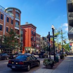
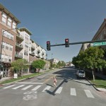
The large collection of parking lots allows for a unique opportunity to create a residential sub-district within the central business district. Look to Atlanta’s West Midtown, Chicago’s South Loop or Denver’s Cherry Creek District of examples of the type of development that could rise here.

Its density would respect its historic surroundings, but its scale could provide hundreds of residential units. Instead of lining each street with retail, thoughtfully placed corner markets and cafes could be placed intermittently in order to maintain a residential character for the sub-district.

CL&N Heights
Like its Broadway Commons neighbor to the north, this area was once part of the large warehouse district that previously occupied the site with the CL&N Railway. Those proud buildings, and the history that went along with them, are now largely gone and have been replaced by I-71. There are, however, some of the historic warehouse structures that can still be seen in the Eighth Street Design District and immediately to the south.

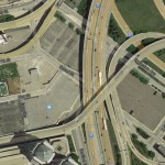
This collection of parking lots is largely out of site since they sit beneath I-71 and at a lower grade than the rest of the central business district. Procter & Gamble currently owns the vast majority of the site, but Eagle Realty has recently acquired some land with the interest of building a parking structure along with some office space.

Unlike the City Hall Quarters site, this location has an opportunity to go even bigger.

In order to properly develop the location, it would make most sense to raise the site up to the same level as the rest of the surrounding street grid. This would essentially create a situation akin to The Banks, where two or so levels of parking could be built as a platform, with the structures then rising from there.

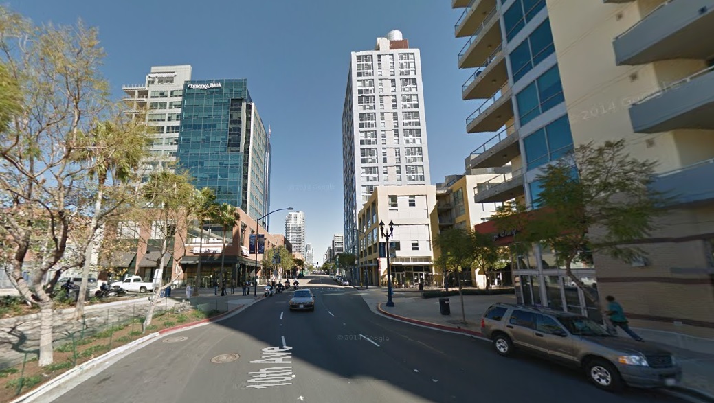
Instead of building four- to five-story structures, like at The Banks or near City Hall, this site would be an ideal location for a handful of sleek, modern residential high-rises. In this case, think of Vancouver’s Yaletown or San Diego’s East Village near their ballpark.

In this location it is conceivable that four to five residential towers could be constructed, while also preserving some land for pocket parks and other neighborhood amenities. At such a scale and density, this site alone could produce upwards of a thousand residential units.

Like the City Hall Quarters site, there would be no strong need to build retail as part of this project. Instead, a small collection of service offerings, like dry cleaners and convenience stores, could be built as part of the development, thus allowing the new influx of residents to bolster the existing and potential retail offerings in the central business district and Over-the-Rhine.

Both development sites include their challenges, but they offer immense opportunities to not only provide the much-needed injection of housing, but also improve the city’s tax base, hold down skyrocketing residential prices, bolster center city retail, and rid the city of two of its largest-remaining surface parking lots.