Categories
Development News Transportation

Cincinnati Reaches Agreement With Norfolk Southern on Purchase of Wasson Railroad Corridor

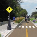
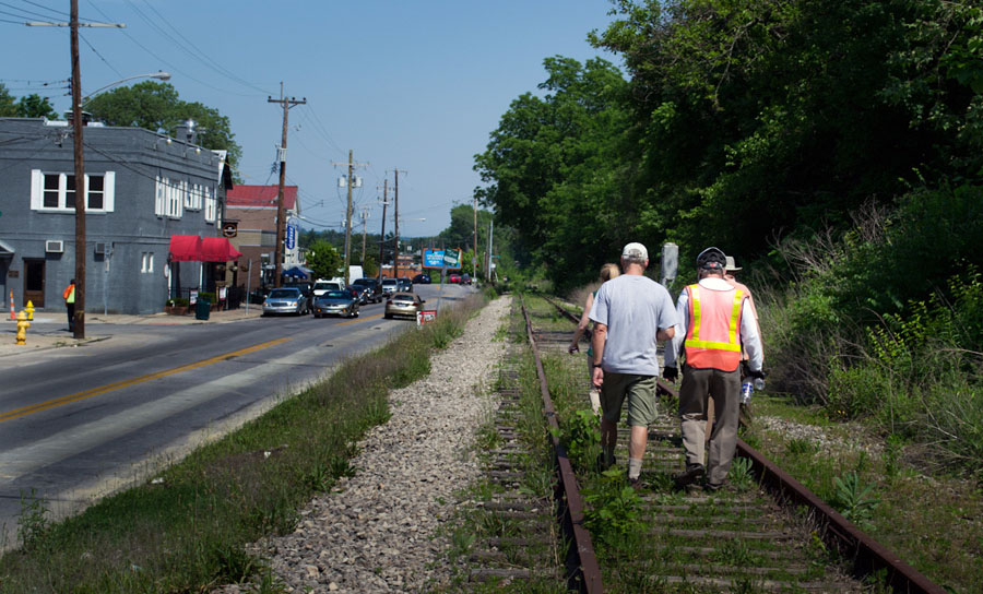
Cincinnati City Council’s Neighborhoods Committee gave a unanimous okay to an ordinance that would solidify an agreement to purchase 4.1 miles of railroad right-of-way from Norfolk Southern for $11.8 million, providing a key piece of the 7.6-mile Wasson Way recreational trail.

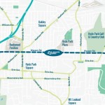
The agreement would give the City a two-year purchase option for the property, which extends between the Montgomery-Dana intersection along the Norwood/Evanston line to the intersection of Red Bank and Wooster roads in Columbia Township.

The ordinance was a last minute by-leave item on the committee calendar, made necessary due to a TIGER grant application that is due on Friday. Project backers are seeking $17 million of the $20 million project cost, and City support makes their application much more attractive.

The trail has been in the works since 2011, and a group of nearly 20 volunteers with the Wasson Way nonprofit got a big boost when Mayor John Cranley (D), City Manager Harry Black, and City staff assisted with the negotiations.

“We started looking at the TIGER grant application,” said Mel McVay, senior planner at Cincinnati’s Department of Transportation & Engineering. “They really talk about ‘ladders of opportunity’, increasing mobility and accessibility for folks throughout the region, and so we saw an opportunity between the property we could purchase and some property we already had, and some existing trails.”

Director of Department of Trade and Development Oscar Bedolla spelled out the project’s urgency.

“One of the statutory requirements associated with the scoring for TIGER is related to readiness,” he said. “And so, the more that we can do to show that the project is potentially shovel-ready enhances our ability to acquire or be selected for TIGER funding.”

Bedolla added that under the terms of the agreement, the City would pay nothing in the first year if it does not proceed with the purchase. If the purchase is pursued within the second year, there would be a 5% fee added to the price.

The City’s matching funding of between $3 million and $4 million for construction costs could be made up of a combination of state and federal grants, plus funds raised by Wasson Way, he said.

Still up in the air is approximately two miles or the corridor between the Columbia Township end point and Newtown, where it could connect with the Little Miami Scenic Trail.

“We’re working on it,” McVay said. “Unfortunately, the railroad was not open to selling any additional property east of that point. We’re investigating three or four ways that we can get farther east to the existing Little Miami Trail. We’re very confident we can get there.”

David Dawson, a resident of Mt. Lookout and realtor with Sibcy Cline, expressed concern about how a long-envisioned light rail line could be brought to the corridor once its freight rail designation is abandoned – a legal process that is handled by the U.S. Surface Transportation Board.

“It just can’t be said enough, in my view, that the City will now become the steward of a very valuable asset,” Dawson said. “This is a regional corridor that, in this day and age, cannot really be duplicated. If we lose that ability to eventually have transit, rail transit, or some sort of transit in the future, we won’t be able to put it back.

Dawson and other rail advocates are calling for the corridor to be railbanked, so that the addition of light rail transit remains an option in the future.

“This doesn’t just connect our neighborhoods, but in the future it has the potential to connect the entire region out to Clermont County,” Dawson said.

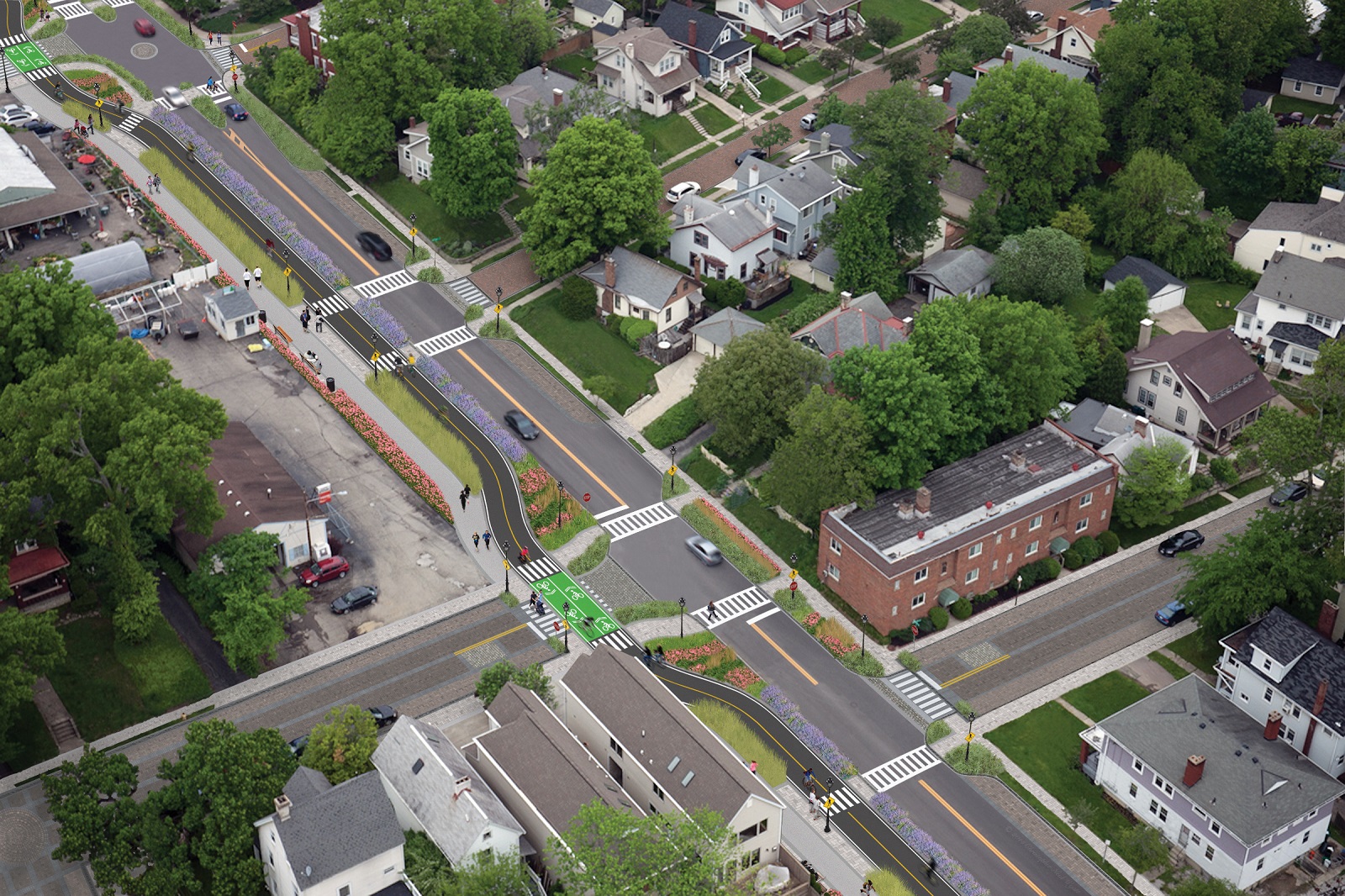
The use of this corridor has long been eyed for light rail transit, including in the 2002 MetroMoves regional transit plan. A 2014 study by KZF Design recommended a design solution that would preserve the ability to develop both light rail transit and a trail; and estimated that such an approach would bring the cost of developing the trail to approximately $11.2 million.

Andrea Yang, senior assistant City solicitor, said that the purchase agreement would give the City some time to work out those issues.

“The way that the abandonment process is structured, there is a time period which we could utilize to further investigate other options,” Yang said. “Had we chosen to railbank the property and attempt to preserve it, it would actually follow the same process for abandonment, so there’s definitely time to look into that if that is what Council’s interested in seeing.”

In April, Cincinnati’s Planning Commission voted to place an Interim Development Control Overlay District on this corridor in order to give the city more time to allow plans to progress without new development creating new conflicts.
Categories
News Transportation

PHOTOS: Ohio’s First Protected Bike Lane Attracting New Riders to Central Parkway

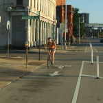
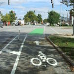
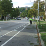
As bicycling continues to grow in popularity in Cincinnati, the city has built out more and more bike infrastructure. These new accommodations, including the new protected bike lanes on Central Parkway, are making it safer for bicyclists and are attracting more riders.

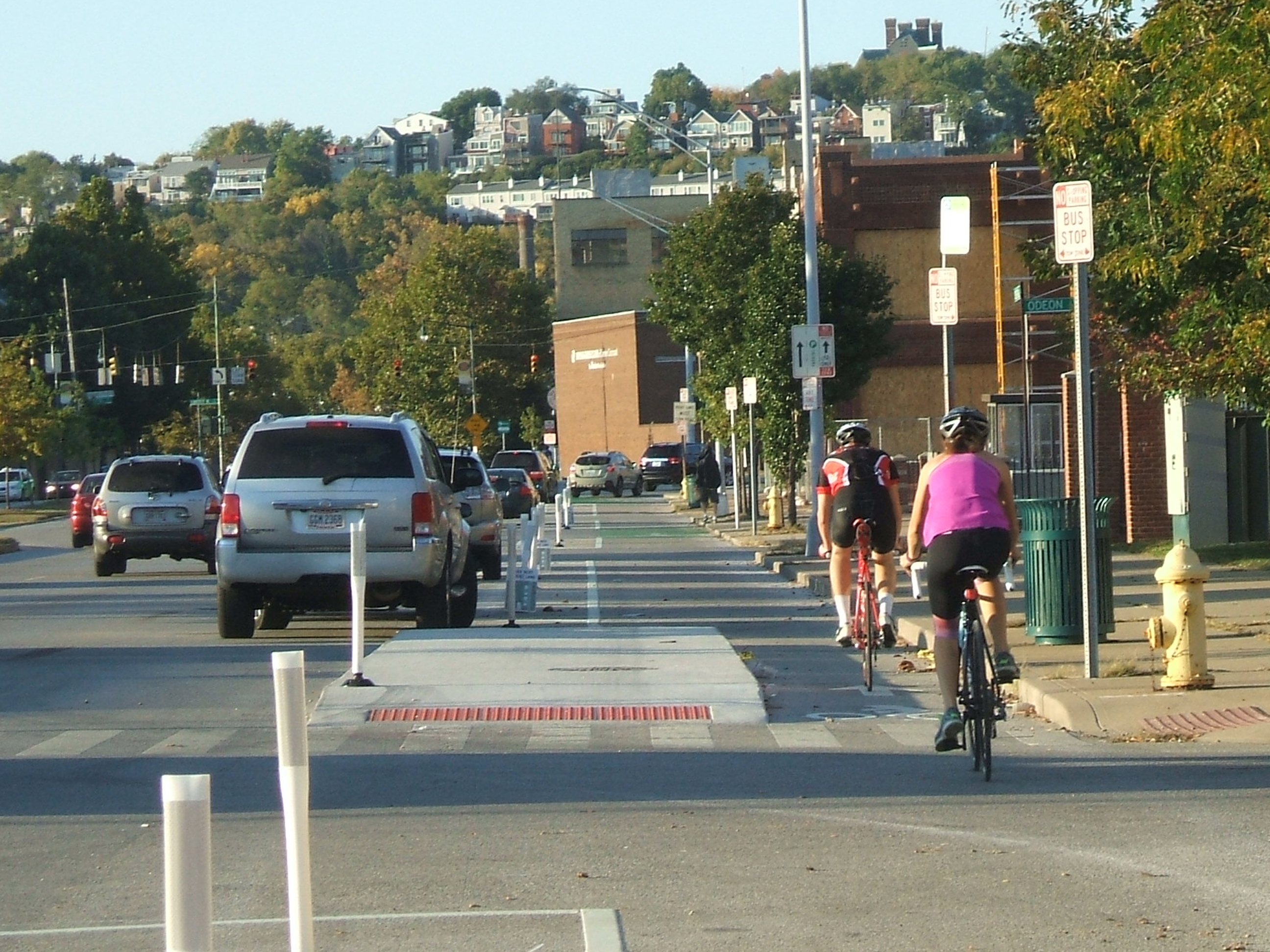
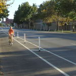
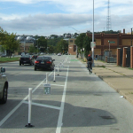
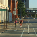
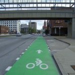
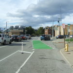
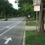
The Central Parkway Cycle Track provides a new protected, on-street route for bike travel between downtown and neighborhoods to the north, including Northside, Camp Washington and Clifton.

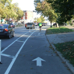
City transportation planners say that there has been apprehension for many cyclists to ride in high volumes of speedy traffic. This is particularly true for Central Parkway, which officials say was often avoided by many due to the intimidating nature of the street’s design that favored fast-moving automobiles. Since the opening of the Central Parkway Cycle Track, however, city officials say that there has been a substantial increased in bike traffic there.

Bike advocacy groups consider the project to be the first of its kind in Ohio. It stretches approximately about two miles from Elm Street at the edge of downtown to Marshall Avenue in Camp Washington.

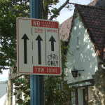
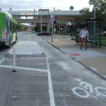
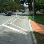
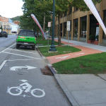
The protected lanes differ from other bike lanes recently built in other locations around the city in that they are separated from moving traffic by a painted median several feet wide. To further delineate the two modes of traffic, the median also includes flexible plastic bollards spaced about 15 to 20 feet apart. This separation then pushes on-street parking out away from the curb.

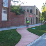
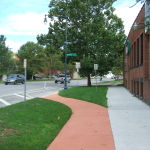
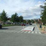
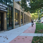
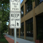
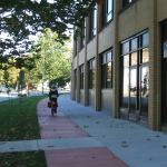
At one point along the parkway, close to Ravine Street, the southbound lane leaves the street to run on a newly constructed path along the sidewalk for several hundred feet in order to allow 24-hour curbside parking. The off-street path is made of concrete dyed in a color intended to resemble brick.

During the heated debate over this design change, many expressed concern that construction of the new pavement could result in the loss of a large number of trees. Fortunately, due to careful planning and design coordination between city planners and representatives from Cincinnati Parks, who have oversight of the city’s landscaped parkways, they were able to preserve many of the trees in this area. According to city officials, only two trees in total were lost due to the lane.

Transportation officials are now working to link these protected bike lanes along Central Parkway with future bike routes along Martin Luther King Drive and on the reconstructed Western Hills Viaduct.

Furthermore, after work on the Interstate 75 reconstruction project near Hopple Street is complete, planners will consider the extension of the protected lanes north to Ludlow Avenue. But first, Mel McVay, senior planner at Cincinnati’s Department of Transportation & Engineering, told UrbanCincy that the first segment needs to be examined first, and additional community feedback will be necessary.

“We need to see how successful the first section is,” McVay explained. “It [the second phase] will depend on what the community wants.”

EDITORIAL NOTE: All 25 photos were taken by Eric Anspach for UrbanCincy in late September 2014.

Categories
Up To Speed

With Central Parkway cycle track complete, are raised bike lanes next for Cincinnati?

With Central Parkway cycle track complete, are raised bike lanes next for Cincinnati?.

While Cincinnati is the first city in Ohio to build a protected bike lane, it has a ways to go in order to catch up with the amount of bike infrastructure cities all across the nation are building. This, perhaps, says more about how far behind Ohio’s big cities are than how progressive Cincinnati is, but that’s a topic of discussion for another day.

As the U.S. DOT moves forward with new standards for protected bike lanes, some North American cities are now looking at raised bike lanes as the next bit of evolution for the infrastructure. More from Urbanful:

Raised bike lanes, popular in Europe and present in a smattering of streets in several U.S. cities, provide extra protection for cyclists, drivers and pedestrians thanks to a slight change in perspective—or in this case, elevation.

But more U.S. cities are trying out the idea: San Francisco is getting its first raised bike lane–higher than vehicular traffic, but lower than the sidewalk–on one block of Valencia Street as part of the Mission Valencia Green Gateway project, the San Francisco Bicycle Coalition reports. Construction is scheduled to begin in early 2015.

Categories
Development News Transportation

VIDEO: UC Students, Transportation Experts Pitch Their Ideas for Wasson Corridor

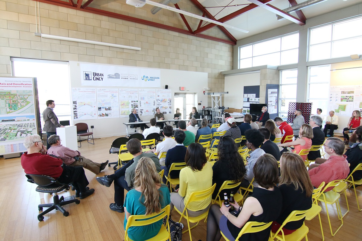
As part of UrbanCincy‘s ongoing partnership with the University of Cincinnati’s Community Design Center, we gathered interested members of the public at the Niehoff Studio in Corryville on April 17 to view the work of students studying the Wasson Corridor.

As with previous events we have hosted at the Niehoff Studio, a capacity crowd attended to not only view the student work, but also participate in a panel discussion with regional experts on the topic. At this event, UrbanCincy‘s Jake Mecklenborg moderated the discussion.

The topic of discussion and the proposals put forth by the interdisciplinary students carried even greater weight as the City of Cincinnati allocated $1.9 million for a variety of bike projects, including $200,000 for the Wasson Way Trail. The City has also recently made an offer to purchase the Wasson Corridor for $2 million from Norfolk Southern who abandoned the rail line years ago.

While the Wasson Way Trail envisions a recreational bicycle and pedestrian trail running along the Wasson Corridor, many now view it as a component of a multi-modal transportation corridor that includes a long-planned light rail line.

Mayor John Cranley’s (D) administration appears to be focused on investing in recreational bike/ped trails, which is good, but the development of the Wasson Corridor should include both the proposed recreational trail and room for light rail tracks.

Fortunately, what was once viewed as a project that pitted light rail advocates against biking advocates has changed drastically since UrbanCincy‘s controversial editorial on the matter in 2012. There now appears to be broad consensus from both sides that the corridor should be developed in a comprehensive, multi-modal fashion.

Categories
Development News Transportation

UrbanCincy, Niehoff Studio to Host Regional Discussion on Wasson Corridor

In May 2013, UrbanCincy partnered with the Niehoff Urban Studio to produce an event that highlighted the final work of engineering and urban planning students studying bus rapid transit and bikeways throughout the region. We then showcased their work and engaged the capacity crowd with a panel discussion between some of the region’s foremost experts on the subjects.

One of the hot topics at that event was the Wasson Corridor, which runs through the heart of Cincinnati’s eastern neighborhoods.

The Future of the Wasson Way Bike Trail and Light Rail Corridor

The corridor has long been in regional transit plans as the location for a light rail line, but recent advocacy efforts have been working to convert the abandoned freight rail right-of-way into a recreational trail for bicyclists and pedestrians.

Following UrbanCincy’s controversial editorial opposing the corridor’s conversion into a bike/ped trail, the conversation has shifted to one focused on creating a multi-modal corridor that accommodates the long-planned light rail and the newly envisioned recreational trail.

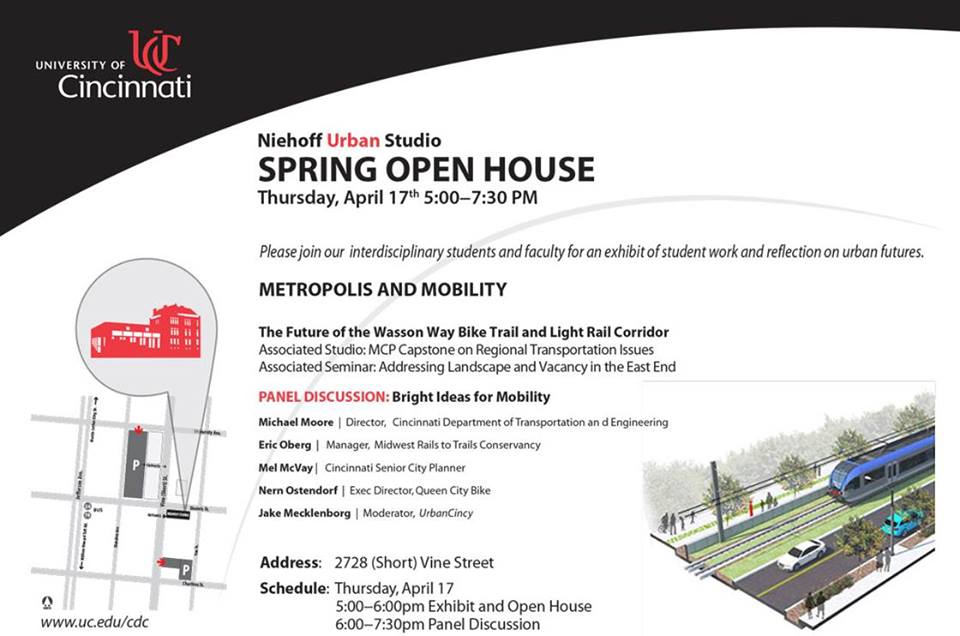
The next stage of that dialogue will occur this Thursday back at the Niehoff’s Community Design Center in Corryville.

Over the past semester, interdisciplinary students from the University of Cincinnati have been studying the Wasson Corridor and will be presenting their work at this event.

Following the open house where guests can view the final projects, UrbanCincy will then host a panel discussion with Michael Moore, Director of Cincinnati’s Department of Transportation & Engineering (DOTE); Eric Oberg, Manager of the Midwest Rails to Trails Conservancy; Mel McVay, Senior Planner at Cincinnati DOTE; Nern Ostendorf, Executive Director of Queen City Bike. The discussion will be moderated by UrbanCincy’s Jake Mecklenborg.

The event is free and open to the public. The open house portion of the evening will take place from 5pm to 6pm, and the panel discussion will follow immediately at 6pm and go until about 7:30pm.

Light food and refreshments will be provided and a cash bar will be available during the open house. The Niehoff’s Community Design Center can be accessed directly off of Short Vine at the southeast corner of Daniels and Vine Street.