Pleasant Ridge seems to be part of the next batch of neighborhoods poised for a surge of private investment. In fact, some of that investment is already flowing into Pleasant Ridge in the form of several new business openings over recent months – the latest of those being Nine Giant Brewing, which opened to the public on Saturday.
UrbanCincy was the first to report that Nine Giant Brewing would open up their brewery and restaurant in the heart of the neighborhood’s business district back in 2015. Now that the renovations and permitting is finally complete, Cincinnatians buzzing about the news from last year, can now go and check it out. They’re open on Wednesdays from 4pm to 10pm, Thursdays from 4pm to 11pm, Fridays from 4pm to 12am, Saturdays from 12pm to 12am, and Sundays from 12pm to 8pm.
Access to fresh, healthy foods has become an increasingly hot topic for discussion over recent years due to a rise in consumer interest.
The topic has become even more important for inner-city neighborhoods around the country, including in Cincinnati, that have been largely abandoned by traditional grocers and now lack easy access to these food options – even sparking official government programs meant to tackle such problems.
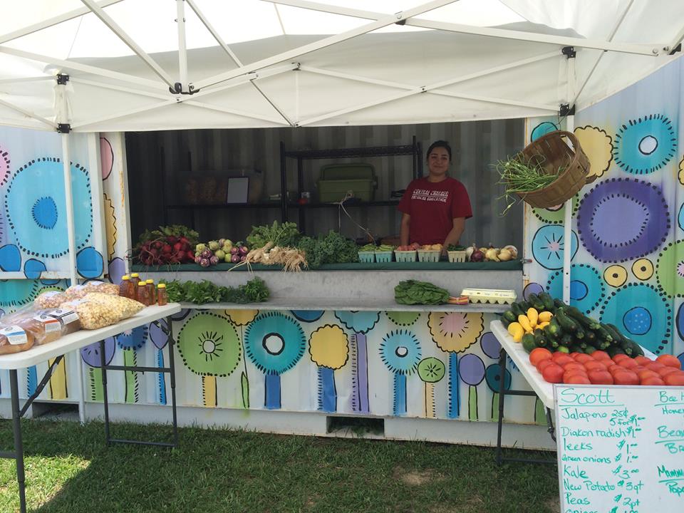
In line with this trend and in an effort to help address the situation, Findlay Market has been working to grow their reach and spread their product throughout the city over the past three years through the opening of seasonal farm stands in Walnut Hills, open every Wednesday from 4pm to 7pm, and East Price Hill, open every Tuesday from 3pm to 6pm.
Walnut Hills Farmstand [Provided]
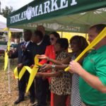
Evanston Farmstand Ribbon Cutting [Provided]
And earlier this month, Findlay Market, in partnership with Dirt: A Modern Market, opened their third Farmstand in Evanston at 1614 Hewitt Avenue.
Kelly Lanser, Communications Manager for Findlay Market, says that the stand and will be open every Thursday, from 3pm to 6pm, until the end of October; and will be stocked with products from Dirt, Taste of Belgium, Mama Made It, and Em’s Sourdough Bread.
“We have been working closely with the Evanston Community Council, Xavier University, the Port Authority, and the City of Cincinnati to find the best location in the appropriate neighborhood,” Lanser told UrbanCincy.
The Farmstands are essentially miniature farmer’s markets that serve as an extension of Findlay Market by bringing products from the vendors at the historic market in Over-the-Rhine to other locations throughout the city.
Organizers of the Farmstand program see it as being a critical component for providing access to fresh, healthy foods to neighborhoods that might otherwise not have such options. An added benefit is that fact that the program also supports buying locally produced goods that ensures the consumer’s money will stay within the community.
To help make sure the fruits, vegetables and other products being sold at the farm stand are available for all members of the community, each location accepts the Ohio Direction Card/Electronic Benefits Transfer card; and to make it more affordable, Findlay Market is offering 2-for-1 incentive tokens to customers who use an Ohio Direction Card to purchase food.
“We are always open to launching Farmstands in new communities,” Lanser explained. “While we don’t have any definite new locations at this moment, we are always happy to speak with any neighborhood that is interested in opening one up.”
The City of Hamilton is looking at the possibility of acquiring approximately 36.5 acres of land from CSX Corporation following its filing for abandonment of the former freight railroad. If city officials ultimately decide to proceed with the purchase, the plan will be to turn it into an urban bike and pedestrian trail on Hamilton’s inner west side.
Running from CSX’s main line in Millville to the former Champion Paper Mill, which is in the process of being redeveloped into a youth sports and entertainment complex, the property also includes a former railyard near the Great Miami River at Two Mile Creek.
Hamilton’s west side neighborhoods currently lack any protected bike lanes or off-street bike paths. As a result, the possibility of adding such an amenity has community leaders excited.
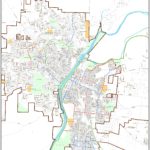
Hamilton Bike Master Plan [Provided]
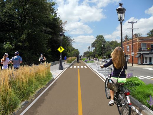
Proposed CSX Sale for Hamilton Beltline [Provided]
“The proposed Beltline trail will be of great value to our community,” said Hamilton Councilman Rob Wile. “By connecting these neighborhoods to our existing trail infrastructure we open up a number of convenient outdoor recreational opportunities to our residents.”
Earlier in the year city officials hosted public hearings to gather feedback on the concept, and are continuing to gather feedback through an online survey. The results, they say, will help determine whether they should ultimately pursue the project.
“The survey lets the City know what kind of benefits residents see in the trail, how often they may use it, what potential negative aspects or problems may occur with it; and is being used to see what generally the public thinks about the potential trail,” Nicholas Garuckas, City Management Fellow inside Hamilton’s Office of the City Manager, explained to UrbanCincy.
“The [survey] results are carefully being looked at and considered in helping determine whether or not the City should be moving forward with this project or not.
In the meantime, Garuckas says that City Hall is moving forward with an appraisal of the land’s value, along with assessing the possibility of various grants from agencies like the Ohio Public Works Clean Conservation Fund, Rails to Trails Conservancy, Dopplet Family Fund, Ohio Department of Natural Resources Clean Ohio Trail Fund, and Recreational Train Fund.
The project follows a pattern of other more marque urban trail projects around the country that are transforming former industrial rail corridors into park and recreation space for under-served urban communities.
Last June, Chicago celebrated the opening of its 2.7-mile trail called The 606. Atlanta, meanwhile, has been opening segments of its much larger 33-mile BeltLine project in phases over recent years. Nearby, in Cincinnati, city officials are poised to acquire an abandoned 7.6-mile freight rail line in its eastern neighborhoods for what is being called the Wasson Way project.
While smaller in scope, the approximately 2.7-mile Hamilton Beltline has, at least initially, has gained the support of Hamilton City Council, and is rooted in the city’s planning documents. In fact, city officials explain that the idea for the project came out of discussions about what to do with the Champion Paper Mill complex and surrounding areas.
“This project is part of the bike path master plan and it will be an asset to all those who enjoy the outdoors including walkers and joggers,” Wile concluded.
If Hamilton is successful in acquiring the land, it would add significant recreational facilities and new transportation options to the city’s west side. If abandonment proceedings continue without Hamilton moving to purchase the property, it will instead be sold off in piecemeal fashion to private owners.
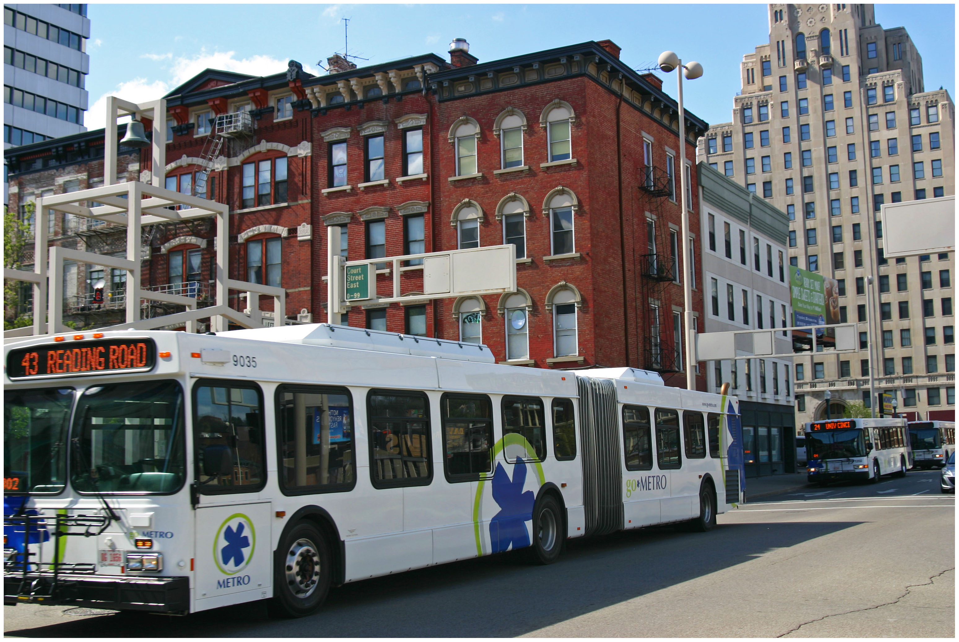
Following the re-routing of numerous express bus routes through the central business district earlier this year, Metro is now also making minor running time adjustments to many of these same routes.
The changes will go into effect on Monday, June 20, and will impact Metro’s express routes to Tri-County (23X), Mt. Lookout (25X), Milford (29X), Montana (40X), West Chester (42X), Sharonville (67), Kings Island (71X), Delhi (77X) and Eastgate (82X).
The Southwest Ohio Regional Transit Authority did not offer an explanation for the changes, but it is normal for the transit agency to make adjustments such as this in order to improve efficiencies or avoid service conflicts.
The discussions continue about whether or not to reduce the massive width of Liberty Street through Over-the-Rhine. If it is decided to reduce its size, the question then becomes by how much.
So far, neighborhood residents have been quite consistent in their support for reducing Liberty Street’s width. As of now, residents appear to be supportive of a plan to reduce it by 20 feet, while other neighborhood groups want it to be reduced by even more to allow for dedicated bike facilities and more developable land along the street’s southern side.
In an informal poll, the Business Courier recently asked their readers if they supported the idea of reducing the width of Liberty Street. The response from the city’s business community was overwhelming, with 78% of respondents saying that they support the idea.