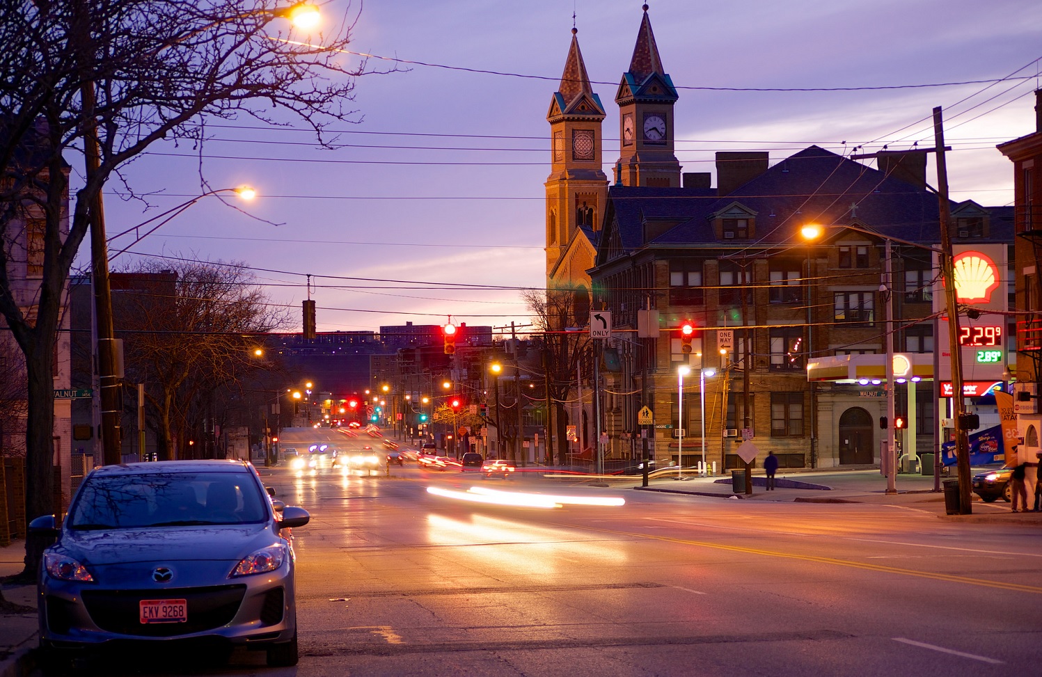
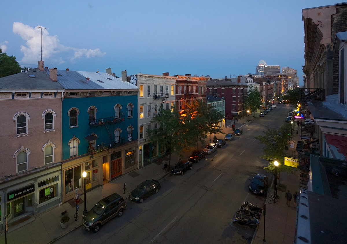
The discussions continue about whether or not to reduce the massive width of Liberty Street through Over-the-Rhine. If it is decided to reduce its size, the question then becomes by how much.
So far, neighborhood residents have been quite consistent in their support for reducing Liberty Street’s width. As of now, residents appear to be supportive of a plan to reduce it by 20 feet, while other neighborhood groups want it to be reduced by even more to allow for dedicated bike facilities and more developable land along the street’s southern side.
In an informal poll, the Business Courier recently asked their readers if they supported the idea of reducing the width of Liberty Street. The response from the city’s business community was overwhelming, with 78% of respondents saying that they support the idea.
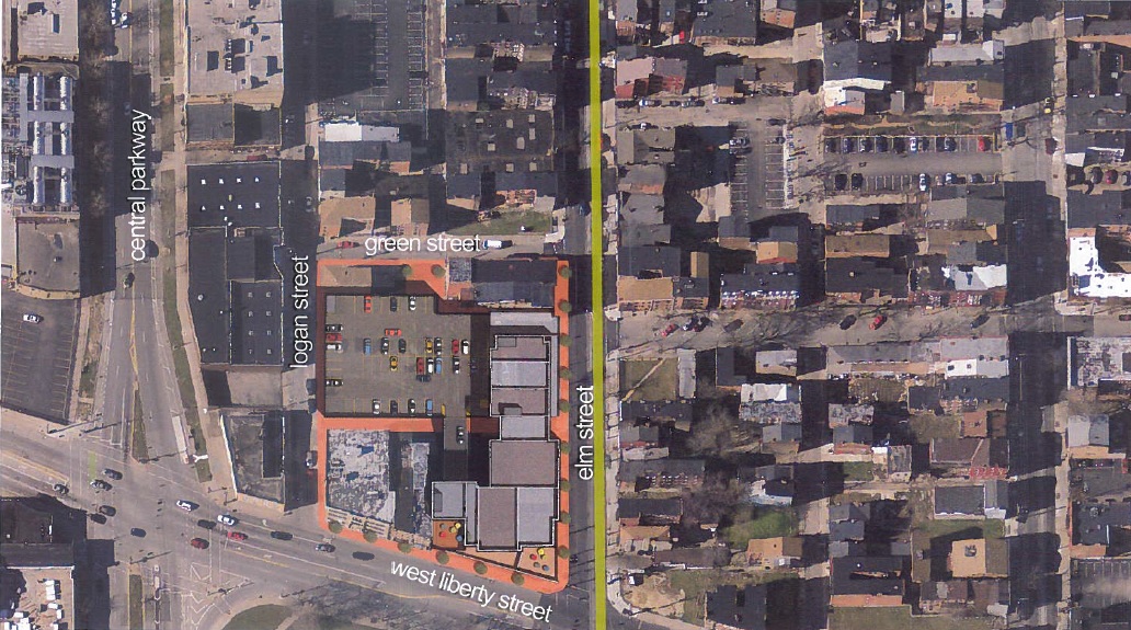
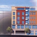
Located directly on the streetcar line, the project would be the first major new construction project to occur north of Liberty Street in Over-the-Rhine in many years. As scores of historic buildings are now being renovated around Findlay Market, many see this site as a critical piece of the Northern Liberties puzzle.
LibertyElm Site Plan [Provided]
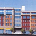
Elm Street Elevation [Provided]
Liberty Street Elevation [Provided]
While preliminary designs were not released in January when the project was announced, the developer did discuss building massings and programming. Those plans called for the creation of 15,000 square-feet of street-level retail, 165 parking spaces in a three-level garage, and 118 apartments in new buildings, and within four existing historic structures that would be renovated as part of the effort.
In response to those details, the Over-the-Rhine Foundation issued a list of 12 concerns they had about the project. One of the primary issues was related to the appropriateness of a 85-foot-tall structure in a historic district made up of buildings that are generally shorter than that.
“The proposed height of the structure dwarfs all buildings in the surrounding area especially considering the smaller scale of Elm Street and the topographic elevation change from Liberty Street northbound on Elm,” a joint committee made up various neighborhood groups wrote to City Hall March 24.
“This will not only change the historic character of Elm Street and the Over-the-Rhine Historic District, but eliminate the views of downtown Cincinnati’s skyline enjoyed by residents on Elm and Logan.”
Source 3 responded to the comments from Over-the-Rhine Foundation by varying the heights of the two buildings to be construction, and reducing their heights from 85 feet to approximately 76 feet and 54 feet. These adjustments, Source 3 says, will increase the cost of the building and also forced the development team to reduce the number of apartment units in the development by eight.
The developer has also made a variety of other changes to respond to those 12 concerns from the community, including the elimination of two parking spaces in the garage and adjustments along the Liberty Street facade to minimize garage exposure and add retail frontage.
These will be presented to Cincinnati’s Planning Commission, due to a request to rezone the properties from Commercial Community Auto (CC-A) and Residential Mutli-Family 1.2 (RM-1.2) to Planned Development, on Friday, April 15 at 9am.
City and community leaders are taking a fresh look at some of Over-the-Rhine’s streets and intersections to see if they might be able to better function if managed differently.
In the 1940’s many downtown streets were converted from two-way to one-way traffic in order to stream automobile traffic through the city center. With the completion of Interstate 75 in the late 1950’s and Interstate 71 in the late 1960’s, some of these streets became important feeders into the highway system.
Additionally, many north-south streets, such as Main, Walnut and Vine, remained one-way to help move traffic throughout the new auto-oriented street system.
It eventually became clear, however, that one-way streets were not adding much benefit beyond moving vehicles slightly faster on their way to and from the interstate highways.
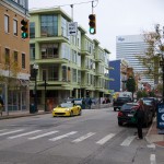
Two-way traffic on Vine meets one-way traffic at Fourteenth [Travis Estell]
Vine Street [Travis Estell]
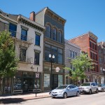
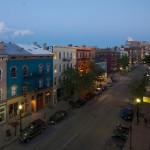
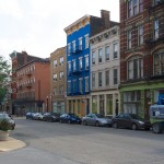
Main Street [Travis Estell]
A sleepy Main Street [Travis Estell]
As a result, the City of Cincinnati spent around $400,000 in 1999 to convert Vine Street back to two-way travel from Central Parkway to McMicken Avenue. A subsequent study in 2004 found that traffic along Vine Street became slightly more congested, but also reduced the speed of motorists traveling through the historic neighborhood.
Since its conversion, Vine Street has also blossomed with dozens of new businesses, which can, in part, be attributed to slower traffic and improved access and visibility. As a result, there have been several other examples of this type of conversion throughout Over-the-Rhine, including sections of Thirteenth and Fourteenth Streets.
Two-way street conversions are typically credited with improving safety for pedestrians and cyclists, while also helping local businesses along the street by making it easier for drivers to navigate city streets. In addition to that, a civil engineer from Penn State University even found that the conversion of one-way streets can even improve traffic flow.
“Two-way networks can serve more trips per unit time than one-way networks when average trip lengths are short,” Dr. Vikash Gayah wrote in his essay. “This study also found that two-way networks in which left-turn movements were banned at intersection could always serve trips at a higher rate than one-way networks could, even long trips.”
Gayah’s conclusion was that the trip-serving capacity of a street network can actually be improved when converted to two-way operations, and when left turns are banned.
“This framework can be used by planners and engineers to determine how much a network’s capacity changes after a conversion, and also to unveil superior conversion options,” Gayah noted.
In Cincinnati, initiating such conversions can come in the form of streetscaping projects or through formal requests made by neighborhood leaders. From there, City engineers will determine the feasibility of suggested conversions. In some cases, like E. Twelfth, E. Thirteenth, Fourteenth Streets, City engineers have said that the streets are too narrow to be converted and remain one-way to allow for on-street parking.
“At most times of the day Main Street has relatively light traffic and motorists speed down the street in order to make every green light,” Seth Maney, head of Main Street OTR, explained to UrbanCincy. “It can seem more like a drag strip than a pedestrian-oriented business district.”
The specific request from Over-the-Rhine activists is to convert both Main Street and Walnut Street. However, transportation officials say that the routing of the first phase of the Cincinnati Streetcar will prohibit such a conversion south of Twelfth Street.
“The streetcar route is something we have to consider if there was a desire to convert the north-south streets to two way traffic.” said Michael Moore, Director of Cincinnati’s Department of Transportation & Engineering (DOTE). “The conversion from Twelfth to Liberty Street, however, would be relatively simple.”
In addition to Twelfth Street, the streetcar’s routing along Elm and Race would also seem to make it improbable that either of those streets could be converted to two-way traffic.