Categories
Business Development News

PHOTOS: Building Boom Changing the Face of Uptown Neighborhoods

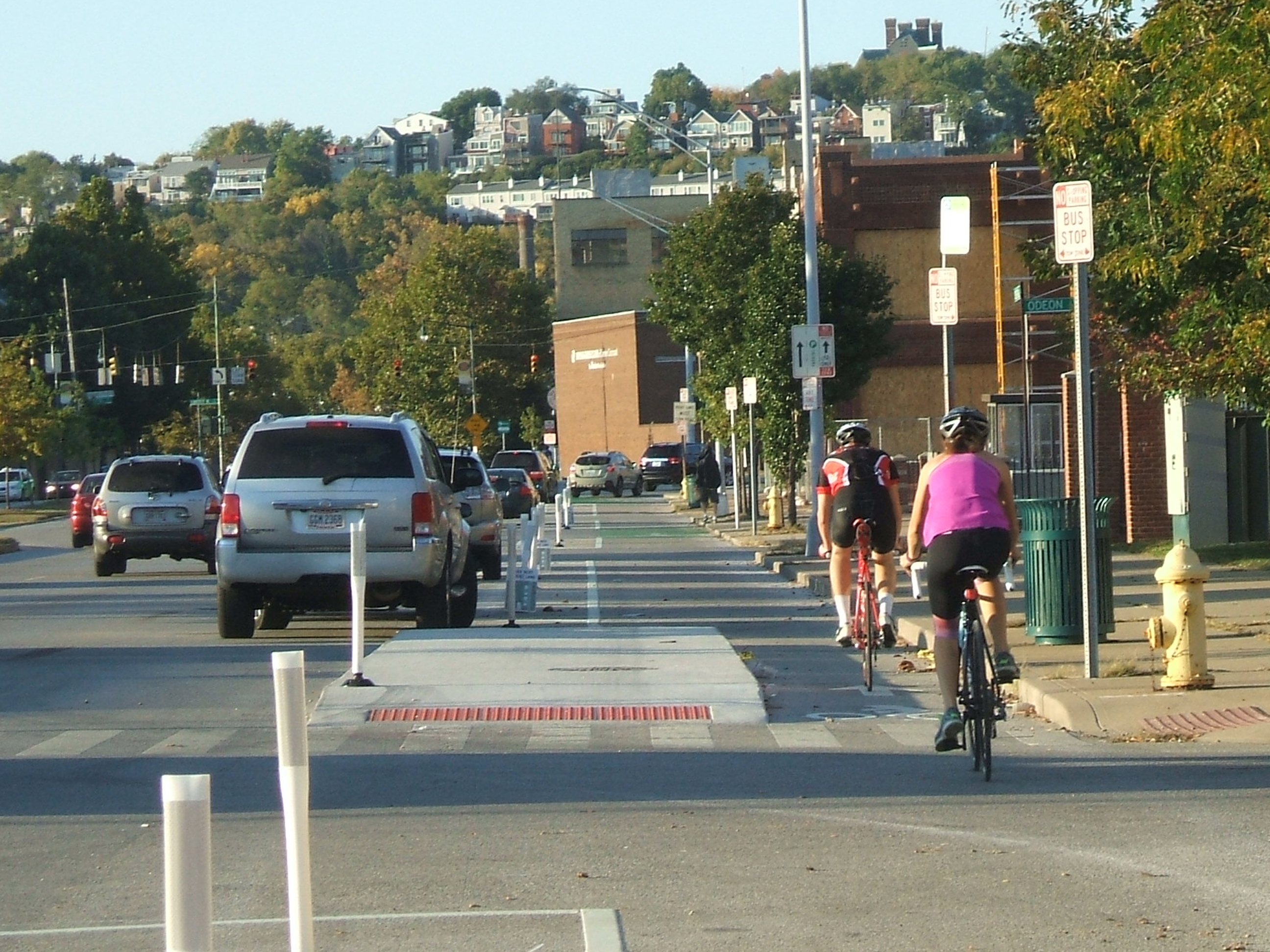
While the construction activities taking place in Over-the-Rhine and Downtown often grab the most headlines, it is actually the city’s uptown neighborhoods where some of the most dramatic construction progress is taking place.

Numerous projects are underway that are adding four- to six-story structures all over Clifton Heights, Corryville, University Heights, Clifton, and Mt. Auburn.

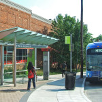
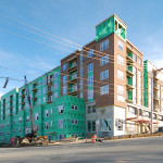
The $15 million, 115-room Fairfield Inn & Suites is now topped out and filling in the remaining piece of the U Square at The Loop block along W. McMillan Street. Once this portion of the development is complete, attention will turn to developing the planned office building along Jefferson Avenue in between W. McMillan Street and Calhoun Street.

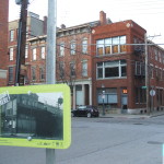
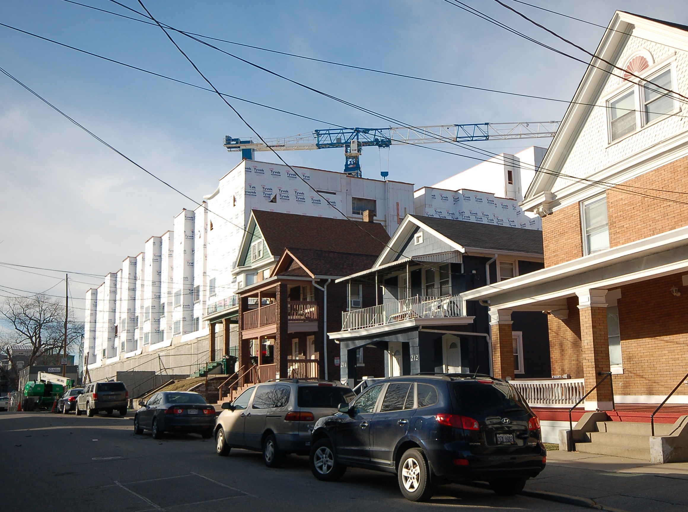
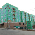
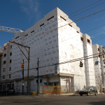
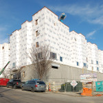
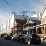
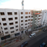
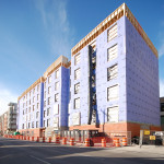
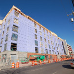
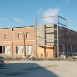
Just down the street from the hotel project site is The Verge – 178-unit residential development – which is also now topped out. This project has stirred controversy due to its demolition of two historic structures that were once on the site. In addition to that, the project is replacing a large surface parking lot and several small homes.

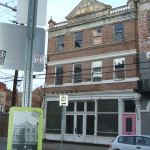
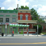
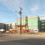
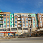
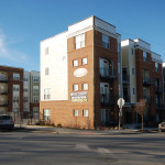
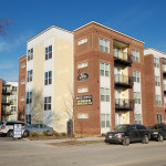
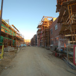
In Corryville, the finishing touches are being put on the $30 million, 147-unit VP3 residential development that, like The Verge, is targeting students studying at the University of Cincinnati. Likewise, the $25 million 101 E. Corry project is bringing an additional 123 apartments and eight townhomes to the historic neighborhood.

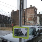
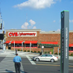
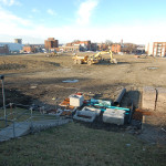
Nearby, and on the border of Clifton Heights and Corryville, is the University Plaza site, which has now been fully demolished of its previous structures. While the new development footprint will not differ significantly from what was there before, a new Walgreens is already nearing completion, and a new Kroger grocery store, twice the size of the previous store, will also soon begin construction as part of a $24 million redevelopment effort.

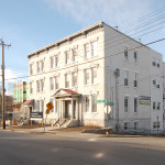
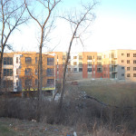
Finally, the $17 million, 117-unit Gaslight Manor residential development in Clifton is on-pace to be completed later this year. This project is replacing a less dense apartment complex that previously occupied the hilly site immediately northwest of Good Samaritan Hospital.

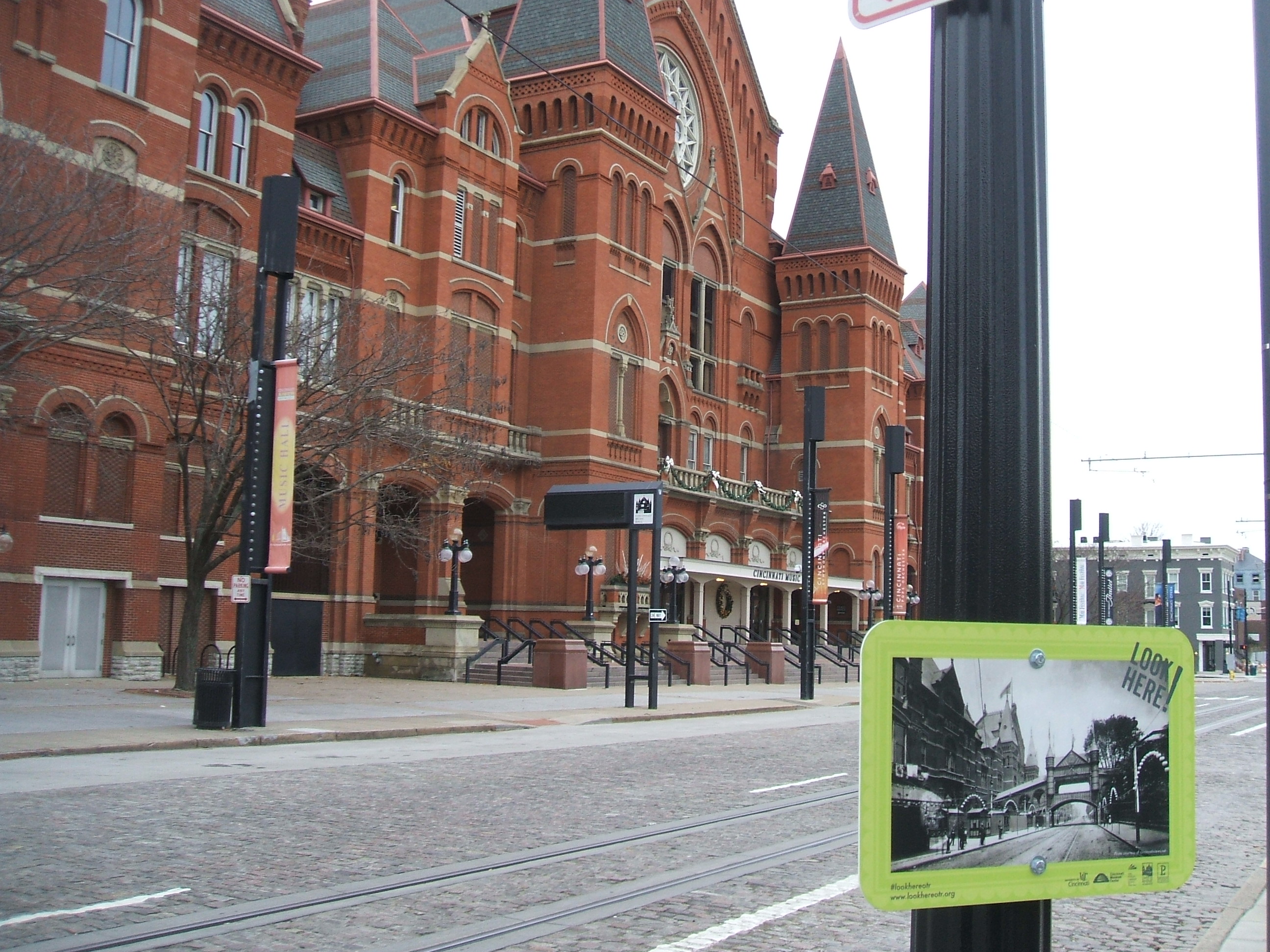
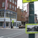
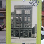
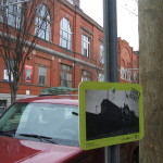
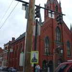
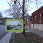
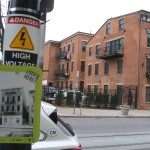
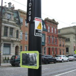
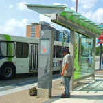
EDITORIAL NOTE: All 17 photographs were taken by Eric Anspach in February 2016.

Categories
Arts & Entertainment News

Over-the-Rhine Exhibit Offers Place-Based Look At Neighborhood’s Past

Internet forums often serve as a popular location for people to share historical photos of the cities they love, but a new project from a People’s Liberty grantee is bringing that historical looking glass to the streets of Over-the-Rhine.

Anne Delano Steinert, a doctoral student at the University of Cincinnati studying urban and public history, says that she came up with the idea after enjoying place-based historical projects elsewhere – including Jay Shell’s rap lyrics project in New York City, RepoHistory’s work on Civil Disturbances (1998-1999) and Queer Spaces (1994), and The Museum in the Streets in Hastings-On-Hudson, New York.

The idea she employs is simple. She posts historical photos in public places to contrast what that view looked like generations ago. Her initial effort has focused on Over-the-Rhine, but has the possibility of expanding to other places depending on funding and demand.

The project, called Look Here!, is already offering a refreshing analog experience in a city so often defined by tech and digital communications. It is even more beneficial due to the fact that it is equally available for all to experience, regardless of income or access to technology.

“I strongly believe that all of us, regardless of age, class, or training have the ability to read the built environment as a way to enrich our understanding of the past,” Steinert explains. “As a result, I have chosen to post only historic photographs without informational text. The exhibit relies on you to read the photographs, ask questions and make meaning for yourself.”

Steinert says that she hopes this exploration leads people to conduct their own additional exploration and research. She also hopes that it serves as a bridge between the established residents of the historical neighborhood, and the many newcomers.

“The rapid change happening in Over-the-Rhine makes it an ideal location for the exhibit,” Steinert says. “As buildings are rehabilitated and new users join long-established residents, it is important to root the present in an understanding of the past. As the neighborhood evolves, this exhibition will allow Cincinnatians to make connections between the past and the present.”

The 69 exhibits positioned throughout Over-the-Rhine are planned to stay in place through March 2016.

EDITORIAL NOTE: All 17 photographs were taken by Eric Anspach for UrbanCincy in December 2015.

Categories
News Transportation

PHOTOS: Ohio’s First Protected Bike Lane Attracting New Riders to Central Parkway

As bicycling continues to grow in popularity in Cincinnati, the city has built out more and more bike infrastructure. These new accommodations, including the new protected bike lanes on Central Parkway, are making it safer for bicyclists and are attracting more riders.

The Central Parkway Cycle Track provides a new protected, on-street route for bike travel between downtown and neighborhoods to the north, including Northside, Camp Washington and Clifton.

City transportation planners say that there has been apprehension for many cyclists to ride in high volumes of speedy traffic. This is particularly true for Central Parkway, which officials say was often avoided by many due to the intimidating nature of the street’s design that favored fast-moving automobiles. Since the opening of the Central Parkway Cycle Track, however, city officials say that there has been a substantial increased in bike traffic there.

Bike advocacy groups consider the project to be the first of its kind in Ohio. It stretches approximately about two miles from Elm Street at the edge of downtown to Marshall Avenue in Camp Washington.

The protected lanes differ from other bike lanes recently built in other locations around the city in that they are separated from moving traffic by a painted median several feet wide. To further delineate the two modes of traffic, the median also includes flexible plastic bollards spaced about 15 to 20 feet apart. This separation then pushes on-street parking out away from the curb.

At one point along the parkway, close to Ravine Street, the southbound lane leaves the street to run on a newly constructed path along the sidewalk for several hundred feet in order to allow 24-hour curbside parking. The off-street path is made of concrete dyed in a color intended to resemble brick.

During the heated debate over this design change, many expressed concern that construction of the new pavement could result in the loss of a large number of trees. Fortunately, due to careful planning and design coordination between city planners and representatives from Cincinnati Parks, who have oversight of the city’s landscaped parkways, they were able to preserve many of the trees in this area. According to city officials, only two trees in total were lost due to the lane.

Transportation officials are now working to link these protected bike lanes along Central Parkway with future bike routes along Martin Luther King Drive and on the reconstructed Western Hills Viaduct.

Furthermore, after work on the Interstate 75 reconstruction project near Hopple Street is complete, planners will consider the extension of the protected lanes north to Ludlow Avenue. But first, Mel McVay, senior planner at Cincinnati’s Department of Transportation & Engineering, told UrbanCincy that the first segment needs to be examined first, and additional community feedback will be necessary.

“We need to see how successful the first section is,” McVay explained. “It [the second phase] will depend on what the community wants.”

EDITORIAL NOTE: All 25 photos were taken by Eric Anspach for UrbanCincy in late September 2014.

Categories
News Transportation

PHOTOS: Take a Look at Metro’s New Uptown Transit District Stations

City officials and the Southwest Ohio Regional Transit Authority (SORTA) unveiled the new $7 million Uptown Transit District earlier this year. The hope is that the enhanced stations and improved design will improve the experience for existing and future bus riders.

But if the Glenway Crossing Transit Center is to serve as any evidence, then this might in fact pay off for Metro in the form of higher ridership.

The Uptown Transit District, however, is a bit different from the west side park and ride station, and the long-time Government Square hub. Instead, it is four distinct areas – Children’s Hospital, Vine & Calhoun, University, Clifton Heights – within the sprawling Uptown area that are seen as major nodes for riders. Transportation planners at Metro say this approach was taken due to the layout of Uptown and the lack of a single location that could serve as a major hub like Government Square is for Downtown.

In addition to serving a dozen or so existing bus lines, different stations in the Uptown Transit District also serve the University of Cincinnati’s Bearcat Transportation System (BTS) and the regional bus authority’s new Metro*Plus route.

All of the stations include covered seating areas similar to those being constructed for the Cincinnati Streetcar system. They also include real-time arrival screens, area wayfinding, ADA accessibility and include information about nearby landmarks.

The stations were designed by Cincinnati-based MSA Architects.

EDITORIAL NOTE: All 22 photos were taken by Eric Anspach for UrbanCincy on August 22, 2014.