Categories
Business News Transportation

Is Cincy RedBike America’s Most Financially Successful Bike-Share System?

RedBike Monthly Ridership Totals

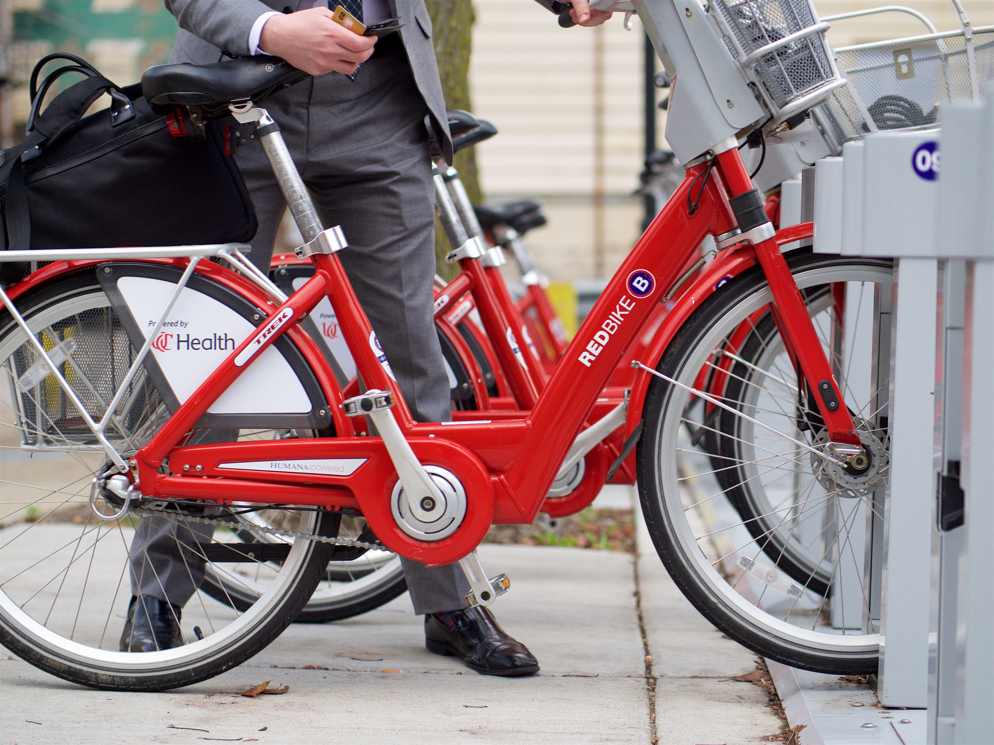
Since launching nearly two years ago, RedBike has been embraced by the region in a way even the bike-share system’s early proponents had not imagined.

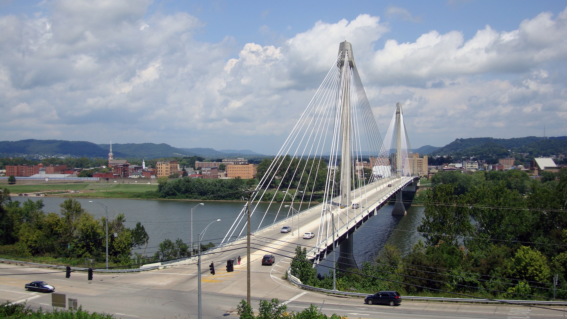
When RedBike opened to the public on September 15, 2014 it included 29 stations, but has since swelled to 57 stations spanning two states, four cities and more than a dozen neighborhoods. The ability to expand and integrate the system across state and city lines is particularly notable as it is a feat most other bike-share systems in North America have not yet achieved.

This relatively rapid expansion has been fueled by higher than expected ridership. As of early July, RedBike had hosted 116,739 rides – or about 5,300 per month. Bolstered by more than 1,500 annual members, these ridership totals translate into some 17,683 different people who have ridden a RedBike.

“Red Bike has gotten off to a dream start. Our community has embraced this new form of transportation,” Leslie Maloney, President of the Red Bike Board of Directors and Senior Vice President of the Carol Ann and Ralph V. Haile, Jr./U.S. Bank Foundation, said in a prepared release. “We will work to continue providing the highest quality and most fun transportation option in Cincinnati.”

Following the trends of bike-share systems elsewhere throughout the world, approximately 74% of its riders have either never ridden a bike before or at least not within the month before RedBike opened. This data makes many bike advocates in the region looking for ways to improve road safety for the surge of new cyclists out on the streets.

The biggest news in RedBike’s recently released annual report, however, pertains to its finances.

While many bike-share systems around the country have struggled financially, RedBike has been able to operate in the black since its inception, and has grown its cash reserves year-over-year.

In 2014 RedBike had a total of $234,251 in expenses and $1,144,911 in revenues. That net income grew in 2015 when the bike-share system had $484,389, but $1,740,792 in revenues. This net income, RedBike officials say, is used to purchase capital equipment necessary to keep the system fully functional.

While it is difficult to find bad news in the financial details released by RedBike, one might look at the fact that direct program income (user fees) cover only 65% of program expenses. When factoring in sponsorships, a fairly reliable and steady stream of income, it covers nearly 118% of program expenses.

All of the other income sources help to further stabilize the system, keep it operating at reliable and optimal levels, and are helping build a reserve fund that could be used to offset unexpected capital expenses or lower than anticipated operational performance.

UC Health is thrilled to be the presenting sponsor of the RedBike program,” said Dr. Richard P. Lofgren, President and CEO of UC Health. “As someone who lives downtown, all I have to do is look outside to see how successful this program is, and how bike share has been embraced by the citizens of Cincinnati.”

Categories
News Opinion Transportation

Here’s How to Improve Access Between Ohio and Kentucky’s East/West Neighborhoods

When discussing regional transportation issues, the topic seems to always be about congestion. In reality, outside of a few limited periods, the Cincinnati region has relatively good traffic flow with little actual congestion. So instead of trying to solve a problem that does not exist, we should be instead focusing our resources on maintaining our current system and improving mobility within the overall region.

As is the case in any city, the natural environment often serves as a chokepoint and barrier to regional mobility. This is true for Cincinnati with its hills and rivers.

With the region’s population largely centered along the Ohio River, it is natural that this is where the most choke points exist. Outside of the center city, however, there are very few river crossings. In fact, there are only two Ohio River crossings outside of the center city, and both of those are for I-275.

One such area that makes sense for a new local road bridge is around Cincinnati’s Columbia Tusculum neighborhood and Dayton, KY near where the $400 million Manhattan Harbour project is planned.

An increasing amount of development continues to occur on the northern bank of the river in Columbia Tusculum and East End. Further up the hill sits prosperous neighborhoods like Mt. Lookout, Hyde Park, and Oakley; and just around the bend lies Lunken Airfield.

Conversely, on the south side of the river in Kentucky, large-scale development projects have long been envisioned, but are often derailed due to poor access via existing roadway networks. This remains true for Manhattan Harbour where concerns exist about the traffic burden that would be placed on the narrow KY 8 running through historic Bellevue’s quaint business district.

A local road bridge that is one lane in each direction with space for pedestrian and bicycle paths would be an ideal fit for this area of the region. It would improve mobility and access to two difficult-to-access areas. It would also offer a highway alternative for those looking to cross between the two states.

A second location where a local bridge of this nature would make sense is near where the Anderson Ferry currently operates today on the city’s west side.

While little development has occurred in this area for some time, this may soon change. The Ohio River Trail West will soon make its way toward this area, and several developers have been eyeing the western riverfront for major projects.

The Cincinnati-Northern Kentucky International Airport sits on the southern side of the river where this bridge would land. This area continues to be bolstered by warehouses, distribution facilities and other airport-related services, and could be further bolstered with better access. What’s more, Cincinnati’s western neighborhoods that have long had to deal with excessive airplane noise, yet long treks to the airport, could at least resolve one of those injustices with a new local access bridge.

The Taylor-Southgate Bridge is the most recent span that has been constructed over the Ohio River. It was completed in 1995 and cost $56 million at that time – approximately $85 million when adjusted for inflation. Both of these new bridges would need to span an approximate 1,700-foot-wide width, which is about 300 feet more than the Taylor-Southgate Bridge river width.

One of the main differences, however, is that the Taylor-Southgate Bridge includes two lanes of traffic in each direction, plus sidewalks. The need for only one lane of traffic on these bridges would allow them to have a deck width of around just 30 to 35 feet.

Another good nearby comparison is the U.S. Grant Bridge in Portsmouth, OH. That cable-stayed bridge was completed by the Ohio Department of Transportation in 2006 for approximately $30 million – or about $35 million in today’s dollars.

In addition to access and mobility improvements for motorists, a new bridge in both of these locations would also be a boon for cyclists. Those riding along the Little Miami Scenic Trail and the Ohio River Trail would now also be able to continue on to Northern Kentucky’s Riverfront Commons Trail, which will eventually stretch 11.5 miles from Ludlow to Ft. Thomas.

The Cincinnati region does not need multi-billion dollar solutions for a traffic congestion issues that largely do not exist. Reasonable and affordable projects that aim to increase mobility and access, along with maintaining our existing assets, should be the priority.

New local bridges connecting the region’s east and west side neighborhoods would open up land for new development, improve access between both states, enhance mobility for pedestrians and cyclists, and would do so at a price tag we can afford.

Categories
News Transportation

East Side Commuter Rail Project in Doubt Following Vote to Develop Oasis Line as Trail

The fate of a long-planned commuter rail line along the eastern riverfront took an abrupt turn over the past month. With the Southwest Ohio Regional Transit Authority (SORTA) Board voting 12-1 in favor of a plan to use it for the Ohio River Trail, it puts a severe damper on one day using it as commuter rail to the city’s eastern suburbs.

The commuter rail, commonly referred to as the Oasis Line, had been pursued by Hamilton County Commissioner Todd Portune (D) for many years. Over time the Oasis Line had become a component of the much larger Eastern Corridor project, which is also now facing a very unclear future of its own.

SORTA purchased the right-of-way in 1994 for $4 million, after which it sold the more southern of the parallel-running tracks and easement to Genesee & Wyoming – the parent company of the Indiana & Ohio Railway Company – which also has the rights to utilize the northern tracks that would be paved over as part of this plan.

As a result, SORTA officials still need to work out details with G&W in order to allow the bike trail to move forward.

“After a comprehensive three-month review of all aspects of the issue, the SORTA Board has overwhelmingly endorsed the concept of a temporary bike trail on the Oasis Line,” said Jason Dunn, Chair of the SORTA Board. “We will do all in our power to work collaboratively with our partners to support the development of the trail.”

The 4.75-mile section of trail will complete the Ohio River Trail on the city’s east side. This segment is estimated to cost $4 million, of which $1 million has already been raised by Ohio River Way. Other portions of the Ohio River Trail, which connects to the Little Miami Scenic Trail, have been completed in a piecemeal fashion over the years.

Project supporters say that if everything goes smoothly, the multipurpose trail could open as early as 2017.

“The trail is an asset that the community clearly wants and it will be an enhancement to multimodal transportation in the region,” Dunn stated in a prepared media release.

SORTA officials say the next steps call for working out regulatory issues with federal agencies, and coming up with a design for the trail that is both safe and amenable to G&W.

While this move may hamper future efforts of developing commuter rail along this corridor, SORTA officials structured the agreement to allow for future flexibility. This includes the design of what the transit agency is calling a “temporary trail” that does not preclude from future passenger rail service along the Oasis Line.

To some passenger rail advocates, however, the prospect of the Oasis Line going away is a good one.

“The riverfront is a perfect place for a recreational trail, while light rail transit would be better-suited serving our neighborhoods,” Derek Bauman, Chair of Cincinnatians for Progress and SW Ohio Director for All Aboard Ohio, told UrbanCincy. “We should move forward with this plan to complete the Ohio River Trail, and then shift our attention to developing a recreational trail and light rail line along the Wasson Corridor.”

EDITORIAL NOTE: In August 2010, UrbanCincy provided an in-depth look at the plans for the Oasis Line. Then in February 2012, UrbanCincy published a controversial editorial that called for a new vision with the Oasis Line being utilized as a trail, and the Wasson Line as a combined trail and light rail corridor.

Categories
Business News Opinion

EDITORIAL: Don’t Cancel Homearama, Relocate It

The past ten days have been interesting. A week ago I spoke with Keith Schneider from the New York Times about the booming residential property values in Cincinnati’s center city. Then, just one day later, the Home Builders Association of Greater Cincinnati announced that they would be cancelling this year’s Homearama event in Clermont County.

The annual suburban home show has been going since 1962, and was cancelled this year due to, “increased activity in other segments of the housing market.” One of the builders that has traditionally participated in those over-the-top suburban home shows is Great Traditions, which recently expressed a growing interest in developing urban properties.

Great Traditions is not the only one. Greiwe Development has also said that they would like to start building homes along the Cincinnati Streetcar starter line, John Hueber Homes made the same transition to Over-the-Rhine, and Ashley Builders appears to just be getting started on their work in the center city.

So while homebuilders are struggling in the region’s outlying suburbs, they seem to be thriving in a manner that is pulsating outward from Downtown and Over-the-Rhine.

It seems more than likely that Homearama will return in the not-so-distant future, but should it? With all the demographic and economic trends pointing in the opposite direction, perhaps the energy and money put into the 53-year-old suburban home show should be shifted elsewhere. I could think of some very nice places to do urban home shows in Pleasant Ridge, Walnut Hills, Avondale, West End, Price Hill, East End, and College Hill. And that is not even considering the possibilities in Northern Kentucky’s river cities.

Yes, there is CiTiRAMA, but that annual home show is often limited in its scale and tends to leave much to be desired.

The writing appears to be on the wall, which makes the outlandish Fischer Homes Expressway proposal look all the more desperate. Why keep up the fight? There are plenty of opportunities in our region’s first-ring suburbs, and the city governments overseeing those sites will assuredly be more than happy to cooperate.

Don’t believe me? Just ask those developers that had been defined by their suburban subdivisions for decades how they are liking life in neighborhoods like East Walnut Hills, O’Bryonville, Northside, Clifton and Over-the-Rhine where condos are virtually sold-out.

I hope the Home Builders Association of Greater Cincinnati decides to not cancel this year’s Homearama after all. I just hope they relocate it to the inner-city where the residential housing market is hot.

Categories
Development News

Green Man Park to Transform Formerly Vacant Lot in Peeble’s Corner

If all goes according to plan, and Mother Nature plays nice this winter, Walnut Hills may have a brand new park in spring of 2015.

An empty lot at the corner of Stanton and McMillan (almost across from the new Fireside Pizza) is in the process of being turned into Green Man Park. Fred Orth, Walnut Hills Area Council member and neighborhood supporter extraordinaire, is spearheading the effort to not only make the lot into a public green space, but also to install a seven-foot tall sculpted stone “green man” for which the park is named.

The enormous sculpture was carved by David Hummel in 1890 for a Walnut Hills building, and ultimately watched over the area until that building was demolished in 1991. Prior to the demolition, the sculpture was rescued by a concerned citizen and has been sitting in pieces in the East End ever since.

Then, last weekend, neighborhood volunteers helped lay pavers for the new paths in the park. They used materials donated by the City of Cincinnati and equipment provided by HGC Construction. With a bit more work the park will contain several more trees, areas for seating, possibly a small performance spot, and one very large Green Man.

An ancient symbol of rebirth and the rejuvenation of spring, the Green Man seems an appropriate symbol for Walnut Hills’ fast-improving business district. Hopefully the sculpture will be there to witness another 100 years in the life of this great neighborhood.

Those who wish the support the community’s efforts to build out the rest of the park, which was previously a vacant lot, can do so by donating through the Greater Cincinnati Foundation.