Categories
News Transportation

GUIDE: How to Ride the Bus in Cincinnati

So maybe you’ve been thinking for a while that you should actually take this ‘public transit’ thing that you’re always saying we need more of. Maybe you’ve been meaning to ride the bus to get to bars and shopping but put it off because you can’t figure out how to use the system. Or maybe you work downtown and would ride the bus, but you either get a parking or bus pass from your employer and you drive because it seems easier.

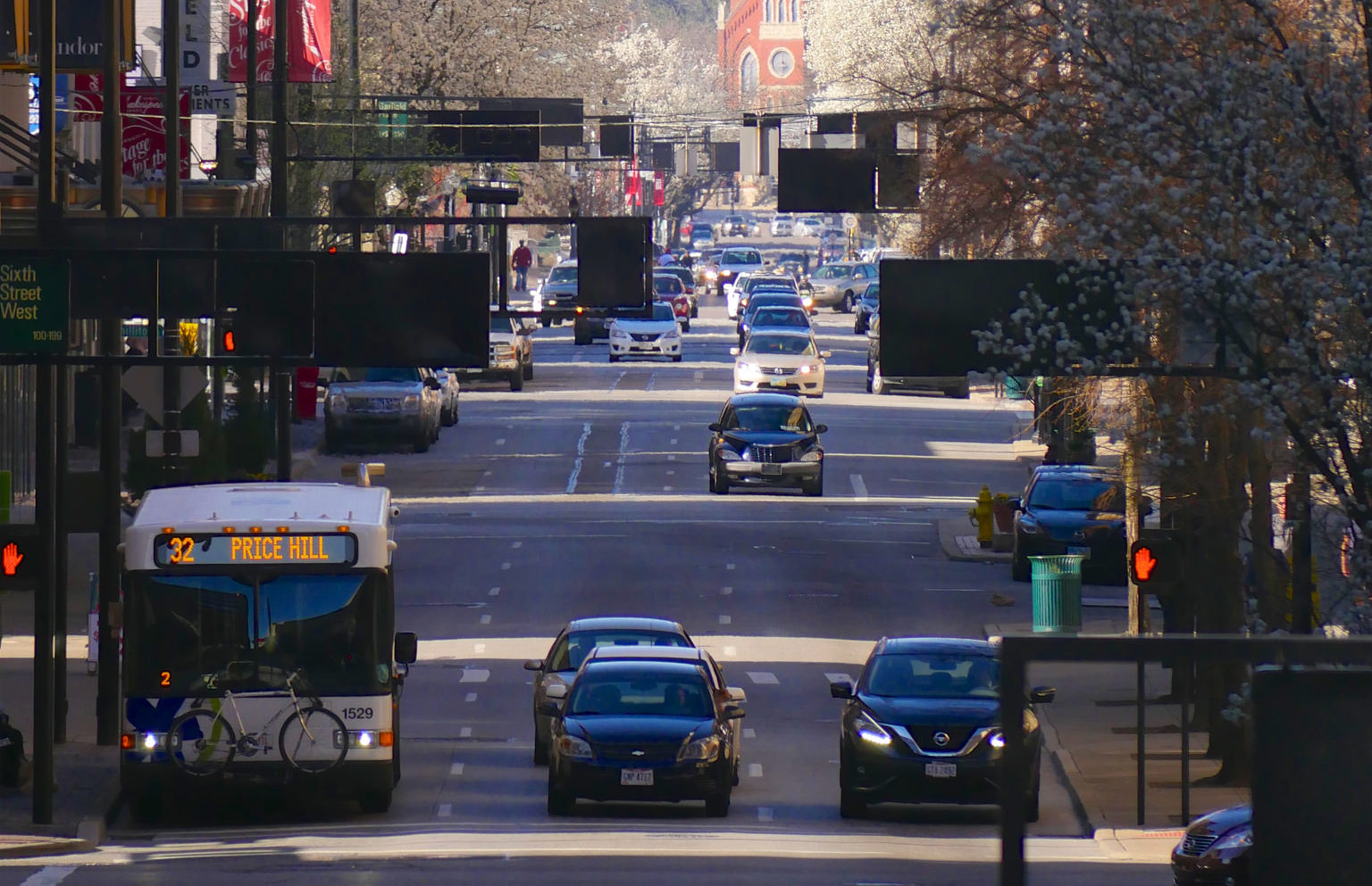
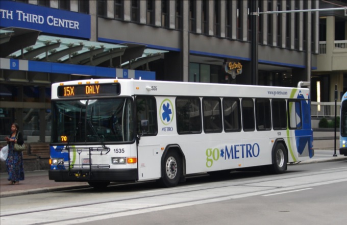
Regardless of the reason, there are many benefits to taking public transit as opposed to driving or taking a rideshare vehicle in Cincinnati. While our city gets a bad rap on the state of our bus system, the reality is that most of the city is easily accessible by bus. The 6 heaviest routes offer good daytime frequencies, serve the densest parts of the city, and are easy to understand when it comes to where they serve. These routes serve the arterial, or main, roads in Cincinnati, including Glenway, Hamilton/ Clifton, Vine, Reading, Montgomery, and Madison/Erie Avenues. Due to the geography and history of development in Cincinnati, most business districts and dense residential areas are on these roads. We are a lot more accessible than you might think!
But how do I use this bus? It may seem challenging to those who are not familiar with the system and how it works, but it’s nearly as easy as calling an Uber. In this article, I will address the three basic questions people have about riding the bus in Cincinnati: how do I know where it goes, how do I pay for my trip, and how do I not miss my stop.

Where Does the Bus Go?

There are several apps and websites that will plot the best route(s) to take as well as alternatives. Google Maps, which is standard on most smartphones, is easy to use and understand. Simply type in your destination and hit the transit icon as your travel mode and Google will do the rest. The app tells you where the nearest bus stop is, walking directions to the stop, and the estimated travel time once you are on the bus.

Another great app which offers much more functionality is the Transit App. This app gives the same directions as Google Maps does, but also includes a live tracker and time countdown of each bus on every route so you don’t have to wonder where the hell your bus is. The user interface is a little friendlier than Google’s as it is centered around transit usage. Additionally, the Transit App works in nearly every city worldwide that has public transportation options. It works especially well with multimodal travel and can estimate your travel time using a combination of travel modes like bike to bus, walk to bus, or bus to bus.

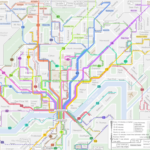
If you are more map-oriented and want to check out the entire route to learn where it goes, the Transit App has the ability to show the actual routing of each bus line and how long it would take to travel to each stop in the entire network by bus. Metro also offers its bus schedules and route maps on its website under Schedules. However, you must already know which line you are taking to take advantage of this.

Finally, you are always welcome to step onto a bus at your stop and ask the driver if this bus is going to X location. The drivers are knowledgeable about their routes as they drive them every day and will give you good advice on whether you should take this bus or another route nearby.

How Do I Pay for My Trip?

There are several ways to pay your bus fare with cash, credit/debit card, smartphone app, or stored value card. First, an explanation of the fare system. The fare in Zone 1, which includes the City of Cincinnati, Norwood, St. Bernard, Elmwood Place, Golf Manor, Delhi Township, and Cheviot, is $1.75 per rider. If you will need to transfer to another line to complete your trip, a transfer slip is an additional $0.50. Hot tip: if you are traveling somewhere and anticipate you will be returning by bus within 2 hours of first paying your fare, ask for a transfer and use that to return home. Transfers are good for up to 2 hours after requesting one and this can save you from spending another $1.75 for your return trip. If you are traveling outside of Zone 1 into Zone 2, the rest of Hamilton County, the one-way fare is $2.65 and transfers are still $0.50.

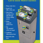
The most basic way to pay your fare is with cash, but keep in mind that the buses’ farebox does not give back change. If you only have singles, you will not be getting a quarter back for buying a Zone 1 ticket. Beyond paying cash you may purchase a stored value card, which you can load up with cash or by credit/debit card at any Ticket Vending Machine and select stores throughout the city. For example, the Clifton Market on Ludlow Ave sells stored value cards. You may put multiples of $10 on a stored value card. Don’t lose your card! Paying for your fare is as simple as swiping your stored value card on the bus, and it will automatically deduct your fare from the card’s balance. This removes the need to carry cash to pay the fare and is much easier and faster to use.

Finally, last year Metro introduced its Metro EZRide app which allows users to pay their fare with their smartphones. Once you have entered your credit/debit card information into the app you may purchase tickets on your phone at any time, to be used at any time. This also includes streetcar tickets. The app is quick enough that you can quickly buy a ticket as your bus approaches the stop if you forgot to beforehand. Simply activate your ticket as you step onto the bus and show the driver your screen. That’s it!

How Do I Not Miss My Stop

Generally speaking, Metro’s buses do not announce the stops they are approaching outside of major stops and transfer points. While some have good spatial minds and generally know where they are at all times, most people need a little help remembering which stop is their destination. I would recommend the Transit app as you can tell it to remind you when you are approaching the stop. Using your GPS location, the app will give you a notification and a ding in your headphones to alert you that you will approach your stop in about a minute. Alternatively, you can ask the driver to tell you when the bus has reached the stop you are going to, although if the bus is full they may be too busy with other passengers to remind you.

When the bus passes the stop prior to your destination stop you must alert the driver to stop the bus by pulling the yellow/grey cord strung up on the walls of the bus, push the vertical yellow tape near the doors, or push the red button on some of the poles coming down from the ceiling. Alternatively, you can yell “THIS STOP PLEASE” to the driver if you would prefer to do it that way. When disembarking the bus, use the back doors to exit so as not to block people entering the bus. This will result in a shorter trip time for everyone aboard.

Useful Links and Pictures

All Route Maps and System Network Maps

Bike & Ride Info

Nate Wessel’s Frequency Map is still up to date, frequencies are generally the same
Categories
Business Development Opinion Transportation

EDITORIAL: Parking Requirement Removal Should Be First Step In Broader Reform

Recently, the Cincinnati City Planning Department sent out a notice to property owners in downtown and Over-the-Rhine regarding the implementation of an Urban Parking Overlay District. The city will hold several meetings with the next one being at the City Planning Commission meeting this Friday, July 27th at 9 a.m. If approved, the district would remove the requirement for uses in downtown to provide off-street dedicated parking.

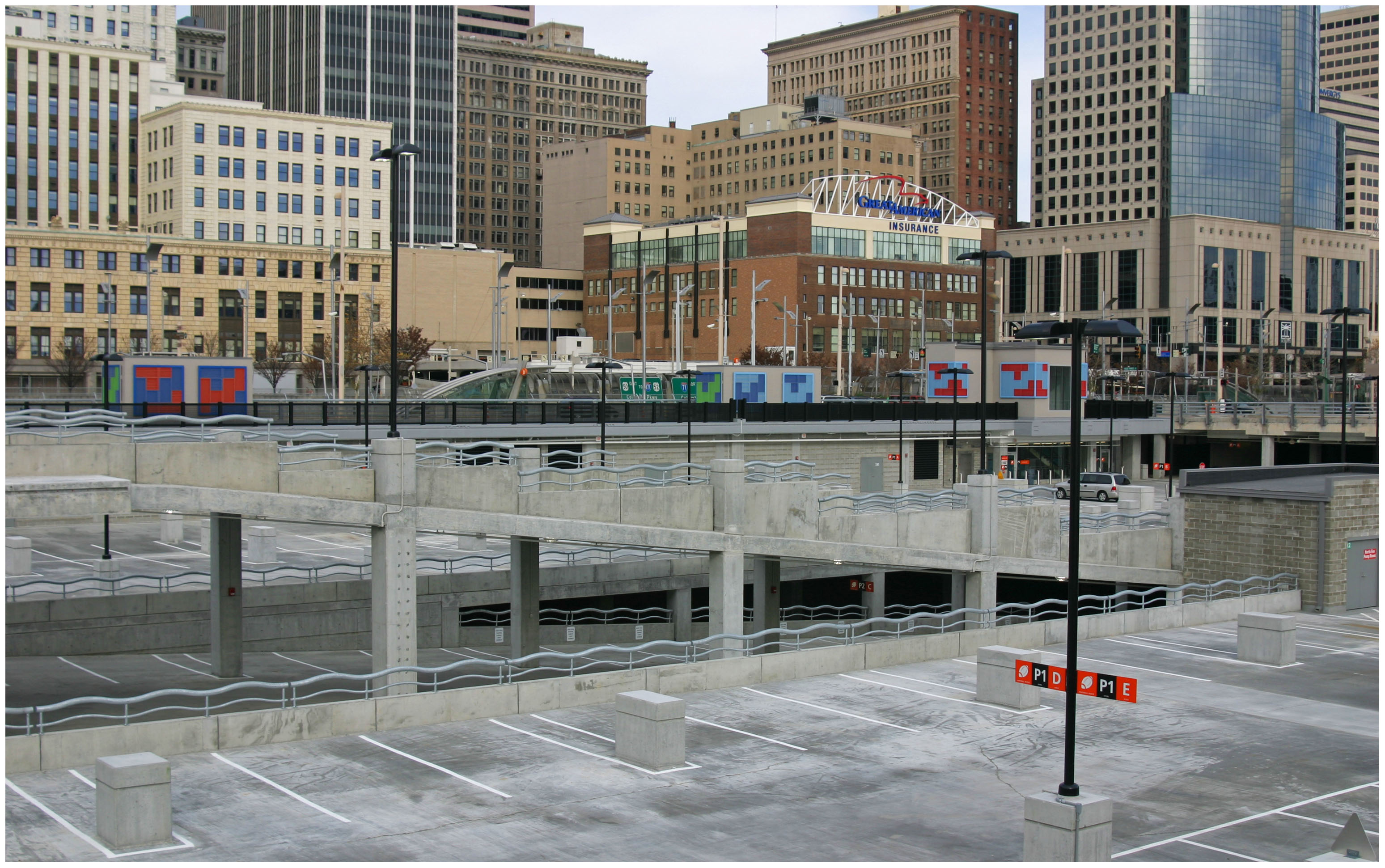
Since 2012 when I first wrote about parking in downtown and Over-the-Rhine the number of off-street parking supplied has increased well over 3,000 parking spaces (38,760 in downtown alone according to DCI). The Banks parking garage alone with over 6,000 spaces is the third largest parking garage in the United States.

We have an abundance of parking in the urban core.

At its core function, the removal of required parking minimums has proven to allow for more creative parking solutions to blossom. As Donald Shoup, parking guru and professor at UCLA found in his book The High Cost of Free Parking, most parking minimums were established as arbitrary standards by planners in the middle of the last century. Many of these requirements are intended to account for the busiest times of the day or year. UrbanCincy interviewed Dr. Shoup in 2014 regarding a variety of local parking issues.

In Nashville for example, the removal of parking minimums helped remove barriers for small-scale developers who could not afford to acquire additional land for a few parking spaces. Instead, agreements with nearby garages helped facilitate automobile storage demands.

Back in 2012 Nashville Planner, Joni Priest told UrbanCincy, “Removing the parking requirements from downtown zoning allows flexibility for site-specific and program-specific solutions. Flexibility is key in urban environments,” said Priest. “As downtown becomes more comfortable for pedestrians, cyclists and transit users, new development will have the flexibility to build less parking.”

Meanwhile, in Cincinnati, the city continues to struggle with developers looking to build new infill or rehabilitate and reactivate the many historic buildings in the urban core.

Even when parking requirements are reduced or eliminated most banks and investors still require parking to be provided or identified for developments to move forward. Removing zoning requirements for parking often allows the developer to build the parking that is really needed and not what is arbitrarily demanded by local zoning controls. This reduces the cost of development and in turn, allows more affordable housing to be provided.

Removing parking minimums also preserves historic structures from being demolished for parking lots and garages. Over-the-Rhine is the largest collection of German Italianate buildings in the country yet it currently has lost over half of its historic structures. If parking minimums are retained, the demolition of our communities historic assets will continue to be encouraged to meet the city’s parking requirements.

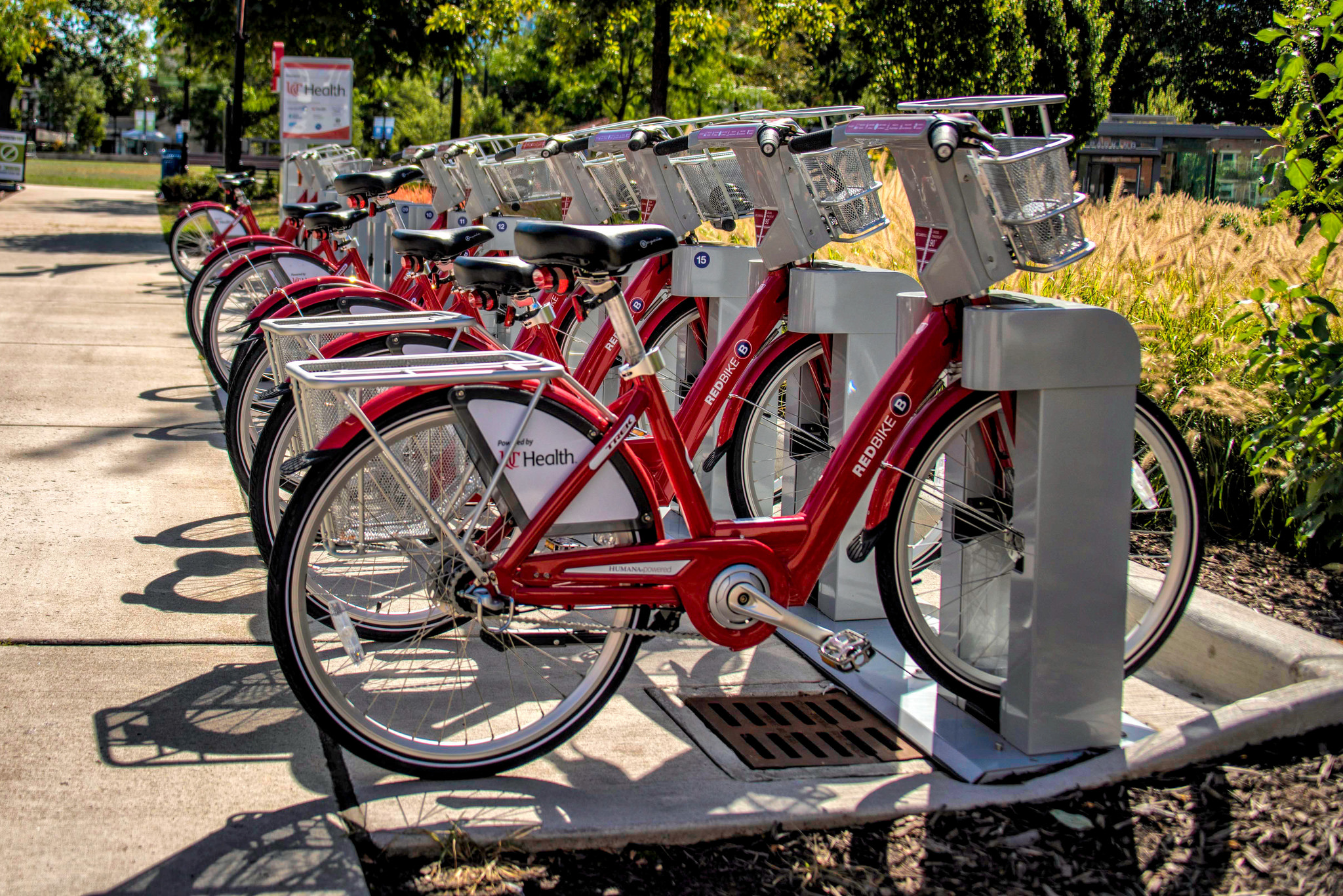
There is an abundance of alternative options to traverse to, from and around the urban core. These modes include walking, biking, CincyRedBike, buses, streetcar, uber, lyft, Gest, and Zipcar. In the near future, we’ll likely see Bird scooters and Lime bikes introduced. In the long-term, improved transit and autonomous vehicles will reduce the need to own and store a vehicle. Every one of these trips is one less parking space needed per resident, worker or visitor.

It would be wise for the City to anticipate criticisms from residents of the urban core. Some of whom recently voiced concerns regarding the increasing struggle to find on-street parking spaces. This is a struggle that is common in many dense, historic urban neighborhoods across the country where the expectation is that it is very rare to snag a parking space directly in front of a persons residence or business. However, it is important to consider this in light of a broader parking strategy, one that would balance resident, business and development demands.

There are a few additional strategies for city policymakers can consider in conjunction with approving the Parking Overlay District to remove parking requirements. Most of these are adapted from Dr. Shoup’s recommendations:

1.) Continue to pursue the implementation of the on-street residential parking permit program.

2.) Add on-street 10-30 minute convenience parking at some spaces around Findlay Market.

3.) Consider opportunities for future public underground parking facilities to serve Findlay Market and the rest of Over-the-Rhine north of Liberty Street.

4.) Enable the demand-responsive capabilities for on-street parking meters. This strategy will encourage more meter usage and could be a potential revenue add for the city’s parking meter program.

As part of a broader plan, it makes sense to remove the parking space requirements in the urban core. To quote Shoup, “If Cincinnati uses fair market prices to manage on-street parking – the lowest prices that will leave one or two open spaces on every block at every time of the day – it won’t have to require off-street parking spaces for every land use. If the government regulated any other aspect of our lives as precisely as it regulates the number of off-street parking spaces everywhere, everyone would join the Tea Party.”

Removing parking minimums is a productive first step in the city’s comprehensive strategy to balance the demands of residents, workers, visitors who help make our urban core a vibrant and attractive place. Supporting this policy is a step in support of enhancing housing affordability, historic preservation, environmental sustainability and livability in our urban core.

Categories
News Opinion Politics Transportation

Downtown Signal Study Stuck in Political Traffic

Every weekday tens of thousands of commuters in downtown Cincinnati struggle in traffic to get onto the highway and back to their homes in other neighborhoods or the suburbs. However, City Hall is stalling on taking advantage of a unique opportunity to capitalize on funds to study and re-time the traffic signals to benefit all road users downtown.

The last time the traffic patterns of the city’s downtown Central Business District were studied was in the mid 1990’s. Back then the city had about 80,000 workers (a New York Times article puts the number at 82,000 in 1991) which is about 17,000 more than the most recent Downtown Cincinnati Inc. count of 65,000.

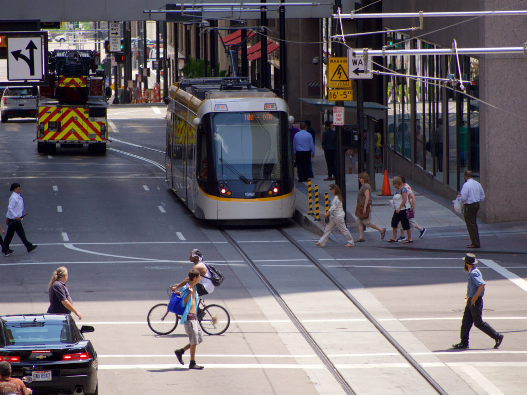
There are plenty of other things that have happened in downtown Cincinnati since the last traffic signal study, such as the reconfiguration and realignment of Fort Washington Way, the building of the Banks development, an increase of over 10,000 residents and of course the Cincinnati Bell Connector streetcar.

A traffic study and signal improvements would benefit all modes of transportation downtown

The funds for the study would come from the Cincinnati Streetcar Contingency Fund, basically funds left over from the construction and startup of the system. The study would not only allow the city’s Department of Transportation and Engineering (DOTE) to conduct the study but also would fund much needed upgrades to signals across downtown.

This would allow for the city to implement a more robust and flexible traffic timing scheme beyond the archaic three phase programming of the current signal system which is only programmed for rush hour, non-rush hour and weekend traffic patterns.

In October, City Council voted to approve a motion to start the traffic study.  Since then, however, progress has been stalled for unknown reasons.  The study was discussed again in council chambers this week as Council members probed Metro and City Administration on streetcar operations.

Streetcar supporters are quick to blame the city leadership on stalling to create a narrative that the streetcar is a failure. And the response to that, to blame Transdev, the company that operates the streetcar, should not go unheeded. However; the city is stalling on a golden opportunity to modernize and coordinate downtown traffic for the 21st Century.

This is a project that would fit perfectly into the data driven decision-making vision this administration values. And maybe we will all benefit from time saved being stuck in traffic whether we are drivers, pedestrians, cyclists, bus commuters or even streetcar riders.

Categories
News Transportation

Cincinnati Ranks as Top Bike City

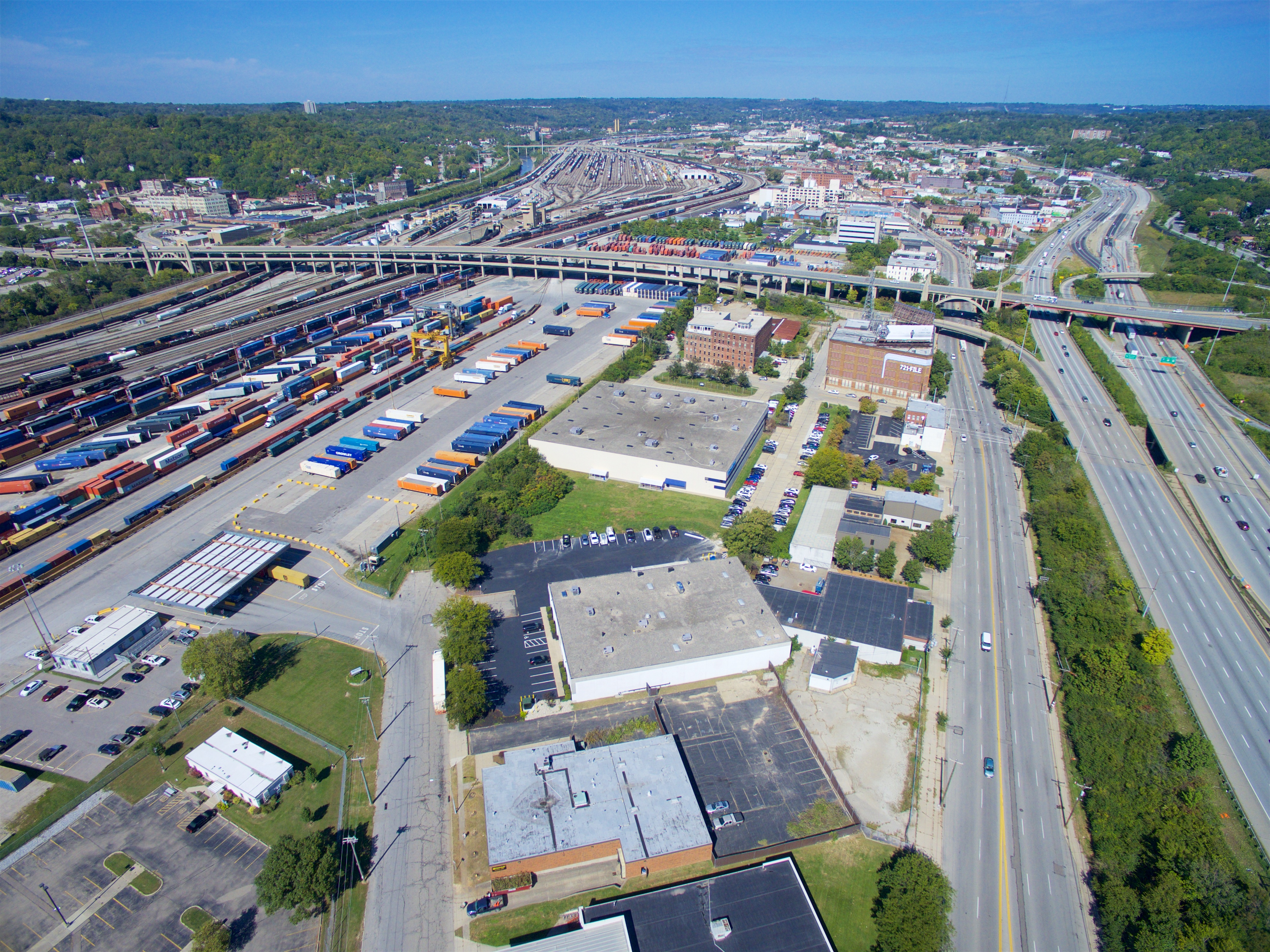
The 2016 biennial list from Bicycling.com shows Cincinnati ranked 36th out of 50 bike-friendly US cities. The ranking is determined by variables such as the number of bicycle facilities, bicycle-friendly businesses, bike-share programs, and the length and safety of infrastructure, amongst others. This year and since 2014, Cincinnati has seen a dramatic increase in bikeability, due to Red Bike and the Central Parkway bike lane, being hailed the 3rd fastest growing biking community in the US. Even with our successes, Cincinnati has fallen from last year’s rank of #35. So, why the fall from #35?

Bicycling.com claims the lack of progress on the City’s Bicycle Transportation Plan, adopted in 2010, coupled with the increasing urban population, with little access to bicycle infrastructure, for the decrease. This year, the first 4.1 miles of the potentially 7.6 mile Wasson Way was purchased just prior to the release of the biennial list. The first phase implementation of the trail, which is scheduled for next year could positively affect the city’s standings in future rankings. However; future on-street connections to the new trail would further boost the city’s access to bicycle infrastructure.

The Central Parkway Protected Bike Lane

This could mean that our rank will increase in coming years. With 100,000 people living within one mile of Wasson Way, the potential for new cyclists and trail-servicing businesses are high and will undoubtedly affect the bike friendliness of the city.

Plans are also underway to secure $21 million in funding to create 42 miles of bike paths, in order to connect Wasson Way, Oasis Trail, Mill Creek Greenway and the Ohio River Trail West. This project is known as Cincinnati Connects and if it passes, will further the city’s bikeability. Additionally, Cincy Red Bike has been an ongoing success; their annual installation of new stations, since its inception in 2014, has added to the momentum of Cincinnati’s bike friendliness.

Although change is afoot, Cincinnati still lacks the complete designation of being ‘bike friendly’ by its residents and outsiders, like those at the top of Bicycling.com’s list. When locals are asked about their view towards biking in Cincinnati, it’s still met by most with negativity: seen as an annoyance, while others are very concerned for their safety while cycling in the city. Cars still dominate the roadways, with some even parking in the bike lane along Central Parkway.

With the new year around the corner, Cincinnati appears to be on a continued path to being a top bike-friendly city however; the following issues are key: residents being made aware of the benefits and safety of cycling; continued implementation of the 2010 Bicycle Master Plan; and policy changes that mirror those cities at the top of the biennial list.

Categories
Development News

New Western Hills Viaduct Could Arrive in Late 2020’s

City officials recently unveiled plans for a new Western Hills Viaduct to replace the 84-year-old structure.

Built in 1931, the viaduct serves as the West Side’s main connection to the city’s urban core. “It affects everybody,” said Cincinnati City Engineer Richard Szekeresh, the project manager. Over 71,000 vehicles cross the bridge every day. However, a city study back in 2012 highlighted the bridge’s deteriorating structural conditions and the poor pedestrian and bicycle accessibility.

The current viaduct is a car haven. Vehicles zoom by a single, narrow sidewalk along the southern edge and cyclists are rare. According to Department of Transportation and Engineering officials, the new structure will be pedestrian- and bicycle-friendly and built to light rail specifications.

Wester Hills Viaduct NewNew cable-stayed design presented by DOTE

Design

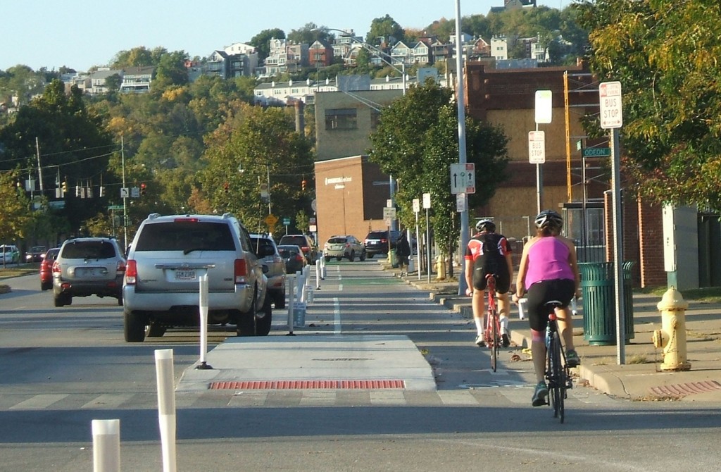
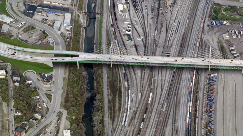
Heading west, the current bridge passes over Interstate 75, the CSX Queensgate rail yard, and then deposits cars onto Queen City Avenue in South Fairmont. Queensgate posed a significant problem for the engineers because they couldn’t shut down a privately-owned and high-trafficked rail yard for several years. “We had to find a way to build only from above,” said Szekeresh.

Two design features overcome this constraint. First, the cable-stayed bridge (shown in the renderings) has large distances between its support towers that (mostly) avoid the yard. Second, the physical structure consists of several interlocking parts, meaning the builders can simply insert the relevant pieces into place without much delay. Some rail lines will still be affected, but never for more than a few hours.

Traffic concerns ensure the old bridge will remain in use until its replacement is erected just to the south. The Ohio Department of Transportation (ODOT) must acquire several land parcels. All of them have been appraised, but ODOT must complete its environmental review before it can purchase the properties.

Funding

Total project cost hovers around $310 million, a substantial hike from the city’s previous estimate of $240 million. Federal funds will cover 80 percent, with the city, county, and state covering the remaining funds. Szekeresh indicated that the project could receive a $20 million Transportation Review Advisory Council grant from the Ohio Department of Transportation.

When federal funding will arrive, however, is unclear. Extensions to the projected 2028 end date may be necessary, especially if President-elect Trump reneges on his promise to improve infrastructure.

After the presentation ended, Szekeresh conducted an informal poll to gauge support for the design. Most community members raised their hands in affirmation.