Categories
News Politics Transportation

Region’s Transportation Funding Disproportionality Favors Cars Over All Other Modes

Research continues to show that Americans are driving less, but are biking, walking and using transit more. This is true in Cincinnati to the extent that transit ridership has increased in recent years.

While originally attributed to the economic downturn at the beginning of the century, these trends have continued while the economy has rebounded – leading many to believe it is an indication of new market forces being driven by aging Baby Boomers and emerging Millennials. Perhaps predictably so, governments have been slow to change with the changing economic forces.

Despite a growing number of trips for biking, walking and transit, funding has not increased correspondingly. In fact, many communities have seen funding for these non-automotive forms of transportation decrease as governments have worked to cut spending at all levels. This, new research finds, is only exacerbating the problem of having underfunded these modes of transportation for many years.

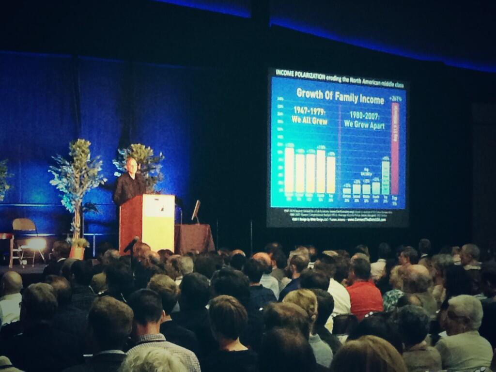
“Conventional statistics tend to under report active travel because most travel surveys under-count shorter trips (those within a traffic analysis zone), off-peak trips, non-work trips, travel by children, and recreational travel,” stated Todd Litman, Executive Director of the Victoria Transport Policy Institute, in a summary of his report entitled Whose Roads? Evaluating Bicyclists’ and Pedestrians’ Right to Use of Public Roadways.

“More comprehensive surveys indicate that active travel is two to four times more common than conventional surveys indicate, so if statistics indicate that only 5% of trips are by active modes, the actual amount is probably 10-20%.”

Litman indicates that funding levels tend to be much lower than even the low 5% trip share estimates, and recommends changing those levels to reflect not only the current trip share levels, but those that could be achieved should investments be made.

Unequal Funding Allocations at Regional Level
At the local level, the same situation of unequal funding allocation exists. In the 2040 Regional Transportation Plan, developed by the OKI Regional Council of Governments, approximately 88% of the nearly $21.5 billion in funding is recommended to go toward roadway projects, just 11% to transit and a mere 0.1% to bicycle and pedestrian improvements.

While the level of investment in transit appears closely aligned with current ridership levels for commute-related trips, it is far below ideal levels for bicycle and pedestrian investments.

“Relatively aggressive pedestrian and cycling improvement programs only cost about 1-4% of the total per capita roadway expenditures, or just 4-10% of general taxes spent on local roadways,” Litman contests. “Since walking and cycling represent about 12% of total trips, and a much larger share of short urban trips, and since most North American communities have under-invested in walking and cycling facilities for the last half-century, much larger investments in walking and cycling facilities can be justified to meet user demands and for fairness sake.”

OKI leadership contends that the organization’s regional planning document does not accurately reflect the level of investment being made in bicycle and pedestrian infrastructure, noting that many of the “roadway projects” in their plan actually include bike and pedestrian elements.

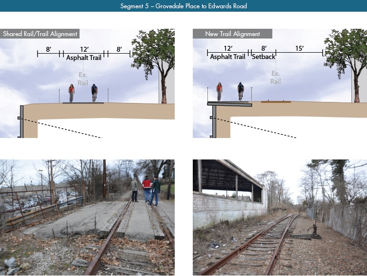
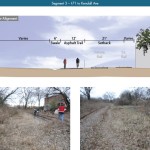
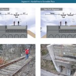
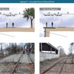
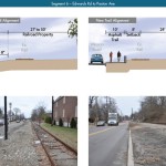
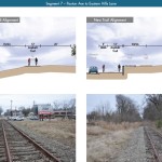
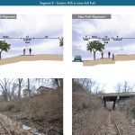
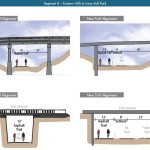
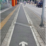
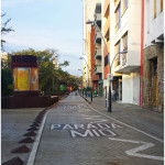
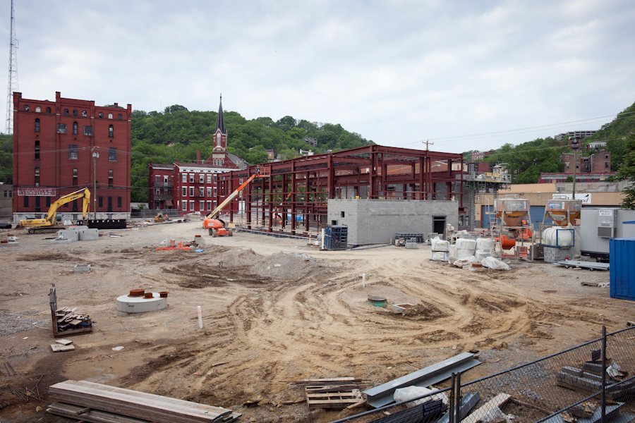
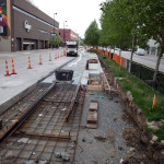
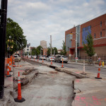
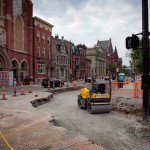
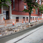
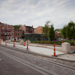
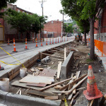
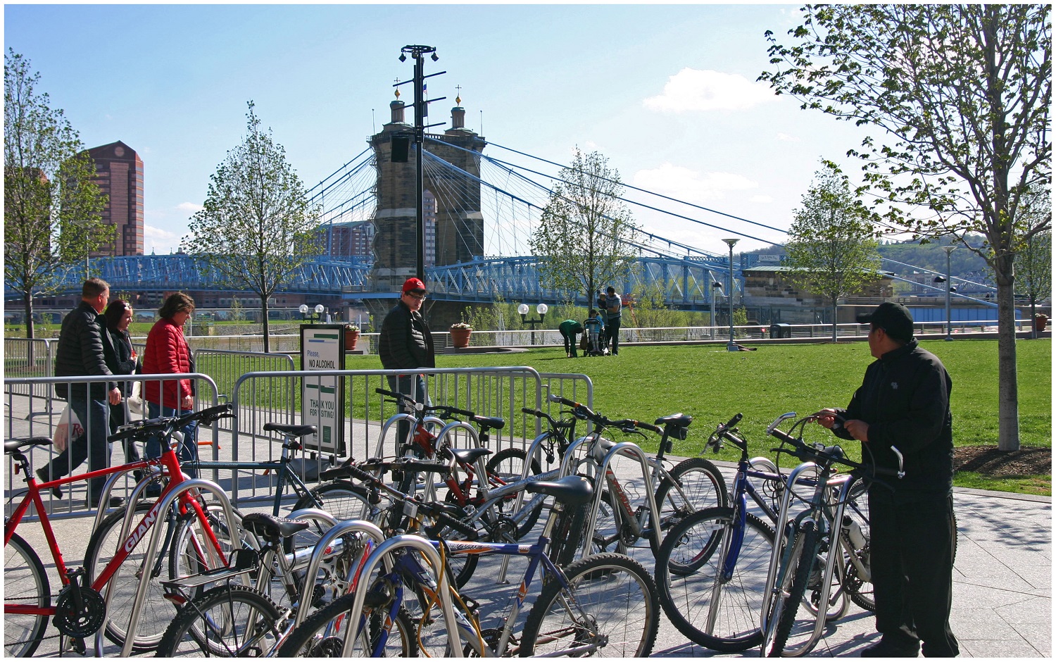
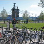
To that end, some recent improvements have been made with regard to bicycle infrastructure. The City of Cincinnati has installed around 40 miles of new on-street bike lanes or paths over the past several years, and has plans to install a total of 290 miles by 2025. The City’s Bicycle Transportation Plan, however, has been plagued by a lack of funding and has been relegated to only moving forward when roadway resurfacing projects emerge.

Not everyone is convinced, however, that enough is being done in terms of the overall investment needed for bike and pedestrian improvements.

Implications for Regional Transit
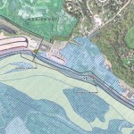
Of the money being recommended for transit investments, not including operations, approximately 96% is targeted for the contentious Oasis Line – a commuter rail line connecting Cincinnati’s far eastern suburbs with downtown.

Furthermore, the vast majority of OKI’s recommended transit funding is aimed to pay for ongoing operations – not pay for system expansions or improvements.

This grim financial picture for transit gets even worse when considering contributions from state and local governments.

In Ohio, the City of Cincinnati is the only local jurisdiction that provides a dedicated stream of funding for the Southwest Ohio Regional Transit Authority (SORTA), which was also recently found to perform better than average given its low levels of investment from local, regional and state partners.

In Kentucky, meanwhile, communities struggle with state law that prohibits any dedicated source of transit funding – thus forcing the Transit Authority of Northern Kentucky (TANK) to go before the state legislature every year seeking money, similar to how Amtrak must annually go before Congress.

Impact on Environmental Justice Populations
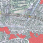
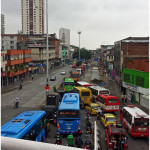
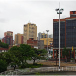
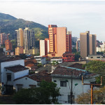
These dire funding and political situations have led to Greater Cincinnati taking the title of being the most populated region in North America without any rail transit; while even far less populated regions advance their own regional transit plans.

What makes the figures more troubling is that those most affected by the imbalanced funding appropriations are minority, low-income and disabled populations. While only 6% of the region takes transit, bikes or walks to work each day, that number escalates to 17% for African Americans, 11% for Hispanics and 10% for people with disabilities; while low-income commuters see that number spike to 21%. Quite simply, the lack of funding for non-automotive forms of transportation is most damaging to those who can least afford it.

The results of this inequality sparked a recent lawsuit by the ACLU of Wisconsin Foundation and Midwest Environmental Advocates filed a complaint against the Wisconsin Department of Transportation over a $2 billion highway interchange project. In MICAH & Black Health Coalition of Wisconsin v. Gottleib, the ACLU states:

“WisDOT explicitly refused to consider transit expansion (or transit in any way) as part of this proposal. This will further widen the already large gap between transit-dependent communities of color and disproportionately white suburban commuters. The ACLU of Wisconsin Foundation was one of the organizations that have complained about the government’s decision-making and reporting process, as well as how the project would exacerbate segregation and disparities in transportation access for low-income people to jobs.”

And while some of these mode shares may seem low, it has been noted by the U.S. National Household Travel Survey that commute trips are the lowest for walking and biking, while personal trips and trips less than one mile are significantly higher for both modes.

“In much of the region where we have large concentrations of EJ populations the sidewalk network is already quite developed, the roadway network is quite developed and available to bicyclists and the transit service is good,” countered Bob Koehler, Deputy Executive Director at OKI. “We do, as a community, need to do a better job at sharing the road and being aware of pedestrians to make these facilities better for all modes.”

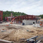
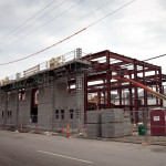
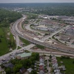
Highway Building Frenzy
Even though young people are increasingly either delaying or choosing not to get a driver’s license at all, user fees collected from the gas tax continue to decline, total vehicle miles traveled (VMT) has been decreasing since 2007 and annualized VMT has been decreasing for nearly a decade, the nation and Cincinnati region continue to build new capacity.

Of the roughly $8.3 billion being recommended for roadway projects in OKI’s planning documents, approximately 73% of that is targeted for additional lanes, new facilities or new interchanges, while reconstruction and improvements to existing roadways account for the rest.

“Although VMT may be slightly declining in recent years in some parts of the country this may not be a long-term trend. Clearly the region has many needs,” explained Brian Cunningham, Director of Communications at OKI. “This plan addresses the significant existing safety and congestion needs. The plan is updated every four years and will provide an opportunity to revisit the assumptions.”

Litman argues that shifting some of the investment from roadways to bicycle and pedestrian projects due to their proven ability to reduce congestion and improve safety not only for bicyclists and pedestrians, but motorists as well. He also believes that such policy directives empower people by giving them the ability to choose between multiple transportation options for each of their trips.

“It is important to recognize the unique and important roles that active modes [biking and walking] play in an efficient and equitable transportation system, and the various benefits that can result when walking and cycling are improved, including indirect benefits to people who do not currently use those modes,” Litman concluded.

“Just as it would be inefficient to force travelers to walk or bike for trips most efficiently made by motorized modes, it is inefficient and unfair to force travelers to drive for trips most efficiently made by active modes, for example, if children must be chauffeured to local destinations because their communities lack sidewalks, or if people must drive to recreational trails due to inadequate sidewalks and paths near their homes.”

This information comes at a time when the region has been identified as failing to develop walkable urban places, and thus putting itself behind its national competitors.

Categories
Development News Transportation

KZF Releases Preliminary Designs, Cost Estimates for Wasson Way

A newly released feasibility study, produced by KZF Design, finds that construction of the 6.5-mile Wasson Way Trail would cost anywhere from $7.5 million for just a trail to $36 million for both a light rail line and trail totally separated from one another.

The cost estimates vary so much due to the three potential design options studied. The lowest cost alternative looked at placing a 12-foot-wide trail along the entire existing rail alignment. This, however, would make the inclusion of a future light rail line extremely difficult.

The most expensive alternative would construct an entire new trail alignment that does not interfere with any existing rail right-of-way. This would include the construction of several new bridges and completely preserve the ability to easily construct the long-planned light rail line adjacent to the new trail.

Alternative B, which was recommended by KZF and priced at $11.2 million, was a bit of a hybrid. It would include a 12-foot-wide trail offset from the existing rail alignment, but utilize existing rail right-of-way at pinch points along the corridor.

The 45-page study is the first detailed look at the corridor, which has been hotly debated and discussed over recent years. Much of the controversy has surrounded whether or not both light rail and a trail can be accommodated. KZF’s findings appear to show that much of the corridor could in fact accommodate both, but that some segments may prove to be difficult, albeit feasible.

If project supporters are able to advance the trail plan, KZF estimates that it would connect eight city neighborhoods and approximately 100,000 residents with an overall network of more than 100 miles of trail facilities.

“It is hard to build in the urban core, and to find an intact corridor ripe for development is a unique thing,” explained Eric Oberg, Manager at the Midwest Rails to Trails Conservancy. “If this is done right, this can be the best urban trail in the state of Ohio. I have no doubt.”

Some of the most difficult segments of the corridor are the nine existing bridges where the right-of-way is extremely limited. If both light rail and trail facilities are to traverse this corridor together, additional spans will be needed in order to have safe co-operation.

In addition to introducing what may become the region’s best urban trail and light rail corridor, some proponents also see it as an opportunity to fix other problems along the route. Most notably that includes the congested and confusing intersection of Madison, Edwards and Wasson Roads near Rookwood Pavilion.

While the newly released feasibility study offers the most detailed analysis of this corridor to date, the City of Cincinnati has yet to close on its purchase of the former freight rail line from Norfolk Southern.

City officials are reportedly in negotiations with Norfolk Southern now, and have made an initial offer of $2 million. In April, Mayor Cranley’s Administration also allocated $200,000 to the project.

Categories
News Opinion Politics Transportation

CNU 22: Ken Greenberg Outlines Challenges to 21st Century Urbanism

The opening plenary of the 22nd annual Congress of the New Urbanism opened to an audience of over one thousand attendees. Keynote speaker Ken Greenberg, a Toronto based urban designer and author of the book Walking Home: the Life and Lessons of a City Builder addressed the audience. His message is that even though New Urbanists have accomplished much in the 22 years since the founding of CNU, there is much to do and that new urbanists need to change to meet the coming challenges of the 21st century.

Greenburg highlighted the many challenges facing urbanism today. The first is the oft cited decline in the use of automobiles. “We are seeing the back of cars,” he told the crowd. Total miles traveled is down and young people are delaying getting their drivers licenses at a significant rate compared to a generation earlier.

Second is the growing gap in income inequality between urban places and suburban places. In Toronto from 1970 to 2005 a majority of the city’s low-income population moved from the urban core to suburban communities while the core experiencing prosperity.

Greenberg CNU22Ken Greenberg addresses the CNU. Photo by Paul Knight.

This divide is happening in cities across North America as urban cores have become desirable, and suburban areas experience decline. These trends were reported by UrbanCincy last month in Atlanta.

Greenberg goes on to say that this growing divide is also resulting in a political divide where urban places are not politically strong enough to demand for better urbanism because in most cases political power is still held in the suburbs and rule areas. As money grows scarce, money for urban areas dwindle. Urban areas are increasingly competing against the suburbs for scarce national resources. This is a familiar issue in many cities, including Cincinnati.

“All things public are under intense stress,” Greenberg argues, “just when we need them the most.”

Greenberg’s message to political leaders is, “There can be no national vision without a vision for cities.” Politicians should eliminate the “perverse subsidies” that continue to encourage costly, difficult to adapt and non-resilient infrastructure.  He equates changing the direction of what he called the “sprawl industrial complex” to trying to turn an aircraft carrier: It will happen slowly.

The divide is allowing cities to both create good urbanism and bad urbanism because policy is so hard to change, good urbanism is often done by granting exceptions to policy.“We have plenty of examples of good urbanism. The challenge is to change that from being the exception to being the rule,” he told the crowd.

However the challenges remain tough.  Greenberg urges that urbanists need to stop operating in silos and unite to build good policy. The threats of climate change and an increasingly urbanized world mean that cities are a necessary part of the future. He argues that we should embrace them and build them right.

Categories
News Opinion Transportation

PHOTOS: The Impressive Urbanity of Colombia’s Third Largest City

If Medellín is the clean, gem of Colombia, Cali is the working man’s town. Visibly grittier than Medellín, Cali sports an incredible amount of assets that match and sometimes outshine Medellín.

Surrounded by mountains on one side, Cali’s skyline is more impressive than that of Medellín, while also seeming more original. Everything in Medellín is new, it seems.

While no rail transportation exists in the city, a large and extensive system of bus rapid transit allows traveling easy. In addition to their bus rapid transit system, Cali also has a system of bike lanes, although no bike share system.

They have impressive grand boulevards and arterials all throughout the city as well as grade-separated highways more impressive than those I saw in Medellín. In the downtown area, the city capped over a highway running along the river and made it a pedestrian and bus-only boulevard, following the river on the left and providing easy access to the center city and many historical buildings.

For a city with a reputation as being dangerous, it was incredibly efficient and had an impressive number of assets, including an incredible park system affording many breathtaking views of downtown Cali and the city sprawled out around it.

In the first official episode of The UrbanCincy Podcast, we were joined by Natalia Gomez Rojas, a city planner from Bogotá, to discuss Colombia’s pursuit and implementation of bus rapid transit. The discussion also touched on a number of societal issues facing Colombia’s cities as they continue to develop and evolve in a post-drug cartel era. You can subscribe to The UrbanCincy Podcast on iTunes for free. You can also read more of our coverage regarding bus rapid transit here.

This two-part photo series on Colombia’s second and third largest cities was put together during a four-month assignment by Jacob Fessler, during which he was based out of the city of Barranquilla.

Categories
Business Development News Transportation

PHOTOS: Construction Activities for $133M Streetcar Project Move Southward

Since the dust-up in December, construction work on the $133 million first phase of the Cincinnati Streetcar has been proceeding as planned.

Those living, working or visiting Over-the-Rhine, can now see significant visual progress throughout much of the neighborhood. Meanwhile, utility relocation and upgrade work continues near the southern terminus of the initial system; and now track work is beginning to approach as rails are installed along Central Parkway.

Due to the congestion and centuries old utility systems, work in the Central Business District is expected to be messy and lengthy. In order to minimize disruptions, city officials say that they are working as much as possible at night and on weekends.

Vertical construction continues at the system’s northern terminus where the Maintenance & Operations Facility is being built; and officials say that work is now beginning on one of the first power substations at Court Street and Walnut Street.

Restoration of the Central Parkway median is currently taking place following a surge of construction activity along this stretch of the route, which, coincidentally, is located directly above the Race Street Station for the never-completed Cincinnati Subway.

Rail installation will continue to take place throughout Over-the-Rhine in the coming weeks, and gradually work its way south. Meanwhile, expect the heavy lifting that is the modernization and relocation of utilities to continue.

Due to encouraging progress, some project officials believe there is the possibility the system could open several months ahead of schedule sometime in the summer of 2016.

It was also learned this week that the Southwest Ohio Regional Transit Authority (SORTA), the agency who will eventually operate the system, will deposit $268,278 of a remaining 1996 grant from the Federal Transit Administration into the Cincinnati Streetcar’s unallocated contingency fund. That fund, meant to cover unanticipated costs, started out at $4.7 million. Since the start of the project officials have used nearly $900,000 of those funds.

EDITORIAL NOTE: The following 22 photographs were taken by Jake Mecklenborg on Tuesday, May 20, 2014. Those interested in learning more about Cincinnati’s transit history should read his book – Cincinnati’s Incomplete Subway: The Complete History.