Categories
News Transportation

Cincy Red Bike On Pace to Shatter First Year Ridership Projections

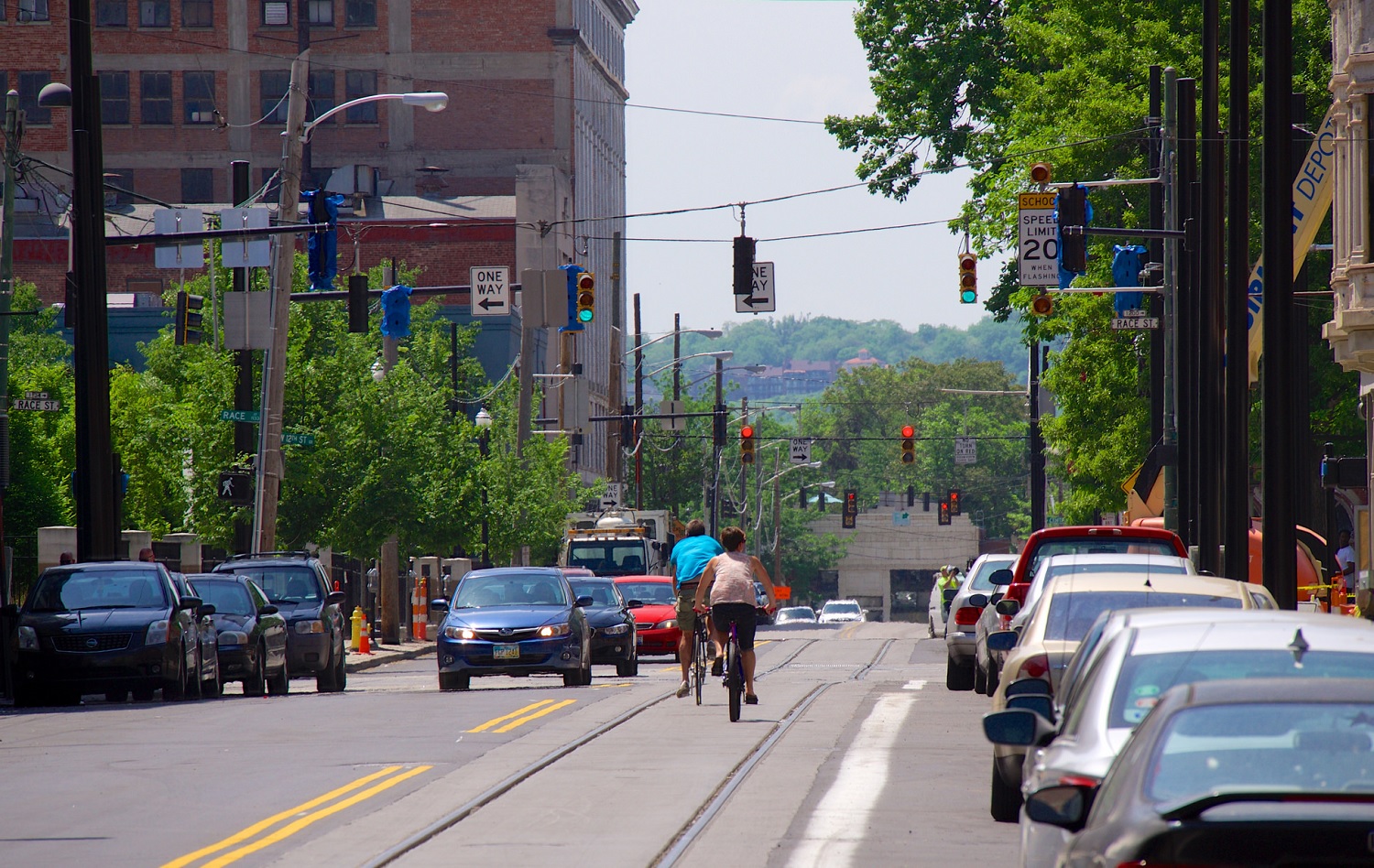
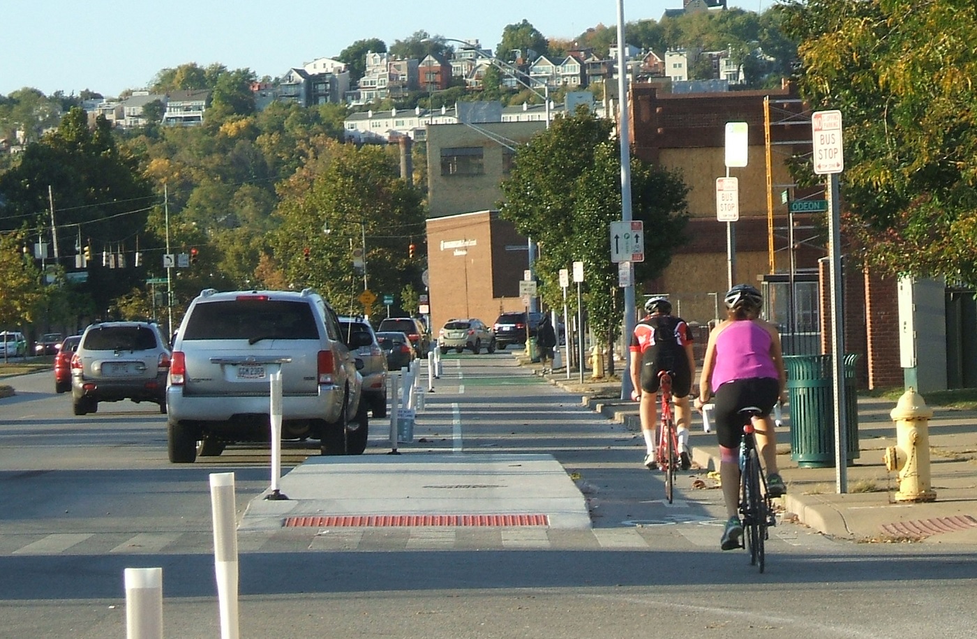
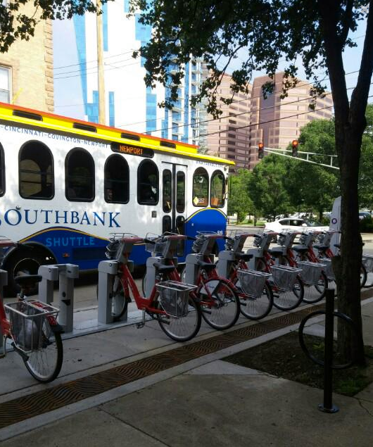
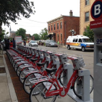
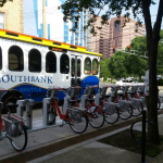
Community leaders gathered in Covington yesterday to celebrate the opening of the first six of 11 new Cincy Red Bike stations in Northern Kentucky. Four additional stations will be opened in Newport, and one in Bellevue, by the end of the week.

The expansion south of the river is a natural expansion for the system, which has thus far focused on Cincinnati’s center city neighborhoods. After initially launching with 30 stations in Downtown, Over-the-Rhine, Clifton Heights, University Heights, Clifton, Corryville and Avondale, Cincy Red Bike has now added new stations in the West End and Northside.

Perhaps more critical for the system’s ridership, however, is the fact that many of the newer stations in Ohio are what operators call “infill” stations. For these, Jason Barron, Cincy Red Bike Executive Director, says that they are looking at locations that focus less on landmarks, and more on where people live car-light or car-free.

“The three busiest stations, by a factor of a third, are Fountain Square, 12th/Vine and Main/Orchard,” Barron previously told UrbanCincy. “We will start to look at areas in the West End like Linn Street, Bank Street, City West and maybe Brighton. We have to look and see where there are opportunities to connect people and make a difference in their lives.”

Once the remaining installations are complete, Red Bike will boast 50 stations, making it the largest bike-share operator in Ohio and the first in all of Kentucky. CoGo Bike Share in Columbus is the second largest with 41 stations following a recent expansion of their own.

After a predictably sluggish winter, it now appears that Cincy Red Bike is on pace to at the very least meet, and most likely exceed, its first year ridership projections. When the system launched in September 2014 the hope was to attract 52,000 rides within the first year. As of now, some 46,000 rides have been made on the public bike-share system.

With the system average 4,600 rides per month, including the slow winter months, the initial projection will be easily surpassed. If that monthly ridership rate increases over the forthcoming summer months, and with the added stations and bikes, the non-profit agency may be able to significantly exceed its own goals.

The enthusiasm in Northern Kentucky appears to be setting the table for even more expansions in the Bluegrass State in the near future. Already, funding is being lined up for an additional station in Bellevue, and the president of Southbank Partners told River City News that they hope to see Red Bike added to Dayton, Ft. Thomas and Ludlow as well.

In addition to Northern Kentucky, additional infill stations are anticipated uptown and neighborhood leaders continue to call for the system’s expansion to the Walnut Hills area.

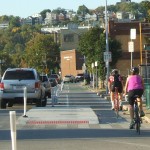
Red Bikes can be used by purchasing an $8 pass that is good for unlimited rides of 60 minutes or less over a 24-hour period. Those who plan on using the system more than 10 times per year are better off purchasing an annual membership for $80.

Categories
News Transportation

Local Transportation Organizations Partnering To Offer Streetcar-Bicycle Training

Area cyclists have long been aware of the risks with riding over certain sewer grates due their design that can allow for tires to get caught, thus causing an accident for the person riding the bike. With track work nearly complete, the same is true for cyclists navigating streets with train tracks on them.

While the risks posed by such an arrangement are minimal and easily avoided, local transportation officials are working to make sure that there are no problems. As a result, SORTA and Queen City Bike have put together some recommendations for people riding bikes on streets where the streetcar operates.

They suggest to look and listen for trains, and to never cross in front of a moving train as it is approaching; be aware that rails can be slippery when wet; cross tracks at a 90-degree angle; and to just generally practice safe riding techniques and maintain awareness.

“Cincinnati is becoming increasingly bike-friendly and we want to ensure that riders are aware of these simple safety tips that can help them avoid potential falls or damage to their bikes when riding along the streetcar route,” said Metro’s System Safety Director T.J. Thorn.

Queen City Bike is also working with Cincy Red Bike to offer free streetcar safety clinics every second Saturday of the month at 10am in Washington Park. Organizers say that the free clinics will run through October, which is just after the scheduled arrival of Cincinnati’s first streetcar vehicles. At these clinics bicyclists will learn how to safely ride adjacent to the streetcar tracks, and how to properly cross over the tracks.

Streetcar Bike Safety

Categories
News Transportation

Ohio Maintains Position As Nation’s 16th Best State for Bicyclists

Bicycle Friendly State Ranking 2015Ohio has maintained its ranking as the 16th best state for bicycling in 2015, according to the League of American Bicyclists. The Buckeye state was previously ranked 16th in 2014, after a big jump from 32nd the previous year. This position places the state as the fourth best in the Midwest, behind just Minnesota, Wisconsin and Illinois.

The ranking is issued after compiling the results of a Bicycle Friendly State questionnaire that is answered by a coordinator in each state, and is based on five criteria: Legislation and Enforcement, Policies and Programs, Infrastructure and Funding, Education and Encouragement, and Evaluation and Planning.

The state scored a total of 45.3 points out of a possible 100, and fared best in terms of its Education and Outreach, but scored lowest in its Evaluation and Planning.

“I’m excited about where Ohio is,” Frank Henson, President of Queen City Bike, told UrbanCincy. He said that he felt that even though Ohio gained in its scoring of points, the reason it did not move higher in the ranking is due to the investments being made elsewhere around the country.

“While Ohio continued to do a lot of great things, especially here in Cincinnati and neighboring communities, other states were ramping up,” Henson said.

Leadership at Queen City Bike believes that Ohio has the potential to move up in next year’s ranking with the possible passage of House Bill 154.

Chuck Smith, Chairman of the Ohio Bicycle Federation, agreed and said that the top two suggestions from the League of American Bicyclists to improve the state’s ranking are both addressed in the bill. The first is a statewide requirement for vehicles to provide three feet of clearance when passing bikes, which is already an ordinance in Cincinnati. The second is a “dead red” law, which would allow all vehicles, including bicycles, to proceed through an intersection if they are not detected by traffic control devices.

“It’s important for cyclists to be legal, but bikes are sometimes outside of the system” Smith said in reference to many traffic control devices that are unable to detect the presence of people riding bikes.

One of the other major items recommended by the League of American Bicyclists is the adoption of a statewide Complete Streets policy – something both state and local officials continue to struggle with all over Ohio.

Julie Walcoff, Bicycle and Pedestrian Program Manager of the Ohio Department of Transportation, said there are several other actions being taken at the state level that could further bolster the state’s national ranking.

“We’re putting together a safety coalition that will encompass advocates, communities around the state, and other organizations that are interested in bicycle and pedestrian safety,” Walcoff told UrbanCincy. “We’ll be using that group to help develop a statewide educational campaign that focuses on road users of all types and on law enforcement.”

In addition, ODOT recently kicked off an initiative to designate proposed US and state bike routes throughout the Ohio, connecting the 17 largest cities in the state. ODOT officials say that these routes will use roads that already have an acceptable level of safety, along with existing paths.

While many have described ODOT as an agency almost entirely focused on highway building, Walcoff says they pride themselves on their working relationships with bicycle advocacy organizations throughout the state. This, she says, can help not only maintain Ohio’s current ranking but help it get even better in the future.

In Columbus, advocacy group Yay Bikes! is working with the city to increase the focus on design and engineering of the street infrastructure. Executive Director Catherine Girves says that to help improve the current situation, they are having engineers budget time each week to ride the streets with their group in order to better understand the needs of those people riding bikes.

Back in Cincinnati, Henson noted the addition of Cincy Red Bike and the Central Parkway protected bike lane – the first of its kind in Ohio – as two key developments over the past year that have helped state’s ranking. Following the Cincinnati’s lead, both Cleveland and Columbus are now planning protected bike lanes of their own.

While much of the focus has been on core cities, Queen City Bike is also working with the Connecting Active Communities Coalition, which is comprised of representatives from nine communities in Cincinnati’s northern suburbs: Blue Ash, Evendale, Glendale, Lockland, Montgomery, Reading, Sharonville, Woodlawn and Wyoming. As of now, this group is working to develop a coordinated network for bicycling and other non-motorized modes of transportation on a multi-jurisdictional level.

Kentucky, meanwhile, ranked as the second worst state in the nation with just 18.3 points. This represented a 0.8 point drop from the previous year.

Categories
News Transportation

City Planners Recommend Transportation Overlay District for Wasson Railroad Corridor

Following the guidance of City Council, Cincinnati’s Department of City Planning & Buildings has completed its land use study for the Wasson Railroad Corridor. The study’s findings and recommendations offer the clearest guidance to-date as to how to proceed with redeveloping the abandoned freight rail corridor, following the issuance of preliminary designs in July 2014.

City planners took a comprehensive look at the history of the corridor, its current conditions and the best path forward that respects the desires of the city and the impacted neighborhoods.

In that analysis City staff revealed seven studies and plans that recommend the corridor either be used for rail transit, or a combined multi-modal network that accommodates rail transit, bicycles and pedestrians. Some of the most notable of these include the 2002 MetroMoves regional transit plan, 2010 Bicycle Transportation Plan, 2012 comprehensive Plan Cincinnati, and the 2013 Railroad Safety Improvement Plan – all of which either specifically call for the corridor to be used for rail transit, or a multi-modal corridor.

The history is important as it influenced the study’s recommendation as to how to proceed with acquiring and preserving the corridor. As of now, the 5.7-mile Wasson Railroad Corridor is still owned by Norfolk Southern, but the City of Cincinnati has stated that they are in the process of acquiring the property from them.

“With this corridor being so crucial to the future development of multi-modal transportation in the City, the threat of potential development within the railroad right-of-way would significantly slow down, if not completely hinder, those possible public transportation opportunities from occurring,” city planners wrote in the 32-page land use study released earlier this month.

Of course, this fact has been known by policy makers at City Hall for years. As a result, City Council has, on several occasions, approved interim development controls to protect the corridor from being built upon. These controls, however, are just temporary and city officials must now decide how they would like to move forward.

In the study city planners examined the pros and cons of three potential options for accomplishing this.

The first option examined the idea of rezoning the property to a Parks and Recreation classification. This would offer the corridor significant protections, but it would also severely restrict the City from being able to implement rail transit in the future due to federal regulations that prohibit the use of public parks or wildlife refuges for transit corridors.

A second option studied looked at simply dedicating the land as City right-of-way. This too would offer significant protections, but is not possible until the City acquires the land from Norfolk Southern.

The third option, and the one recommended by city staff, is enacting a Transportation Overlay District over the corridor. While planners admit that crafting the language for such legislation may be complicated, they also stated that it would be most aligned with the preferences of neighborhood residents and publicly adopted planning documents.

In order to address the complexity of the legislation required for such an overlay district, city planners recommended looking at the Atlanta BeltLine Overlay District that was implemented to protect a 22-mile abandoned freight rail corridor. In Atlanta civic leaders are currently in the process of converting the corridor into a similarly envisioned multi-modal network with rail transit, bikeways, parks and pedestrian paths.

“While all options present advantages and disadvantages, the Transportation Overlay District is seen as the best solution for preservation of the Wasson Railroad Corridor,” city planners wrote. “This tool, while it may take a bit longer to craft the ordinance language, will provide more flexibility and also protect the contiguous nature of the corridor.”

City officials say that this solution will allow for the development of the Wasson Way Trail to move forward in the near term, while affirming the City’s intentions to develop the corridor as a multi-modal transportation facility that includes rail transit in the future.

The solution crafted by the Department of City Planning & Buildings appears to be a perfect compromise between the two constituencies looking to use the corridor. Bicycle advocacy groups can see the right-of-way acquired and preserved so that they can move forward with their plans for a bike and pedestrian trail, while transit advocates can rest assure that those immediate efforts are not being done in conflict with ongoing planning and design work for a future light rail line.

With the Wasson Railroad Corridor Land Use Study now complete, it will go before the city’s Planning Commission. Should it be approved by Planning Commission, it will then go back to city staffers so that draft overlay district language can be crafted and recommended to City Council. From there, it would go before City Council for approval.

It is a standard process and one that advocates hope can be completed in the coming months.

Categories
Up To Speed

With Central Parkway cycle track complete, are raised bike lanes next for Cincinnati?

With Central Parkway cycle track complete, are raised bike lanes next for Cincinnati?.

While Cincinnati is the first city in Ohio to build a protected bike lane, it has a ways to go in order to catch up with the amount of bike infrastructure cities all across the nation are building. This, perhaps, says more about how far behind Ohio’s big cities are than how progressive Cincinnati is, but that’s a topic of discussion for another day.

As the U.S. DOT moves forward with new standards for protected bike lanes, some North American cities are now looking at raised bike lanes as the next bit of evolution for the infrastructure. More from Urbanful:

Raised bike lanes, popular in Europe and present in a smattering of streets in several U.S. cities, provide extra protection for cyclists, drivers and pedestrians thanks to a slight change in perspective—or in this case, elevation.

But more U.S. cities are trying out the idea: San Francisco is getting its first raised bike lane–higher than vehicular traffic, but lower than the sidewalk–on one block of Valencia Street as part of the Mission Valencia Green Gateway project, the San Francisco Bicycle Coalition reports. Construction is scheduled to begin in early 2015.