Categories
News Opinion Transportation

EDITORIAL: City Should Move Forward on Liberty Street

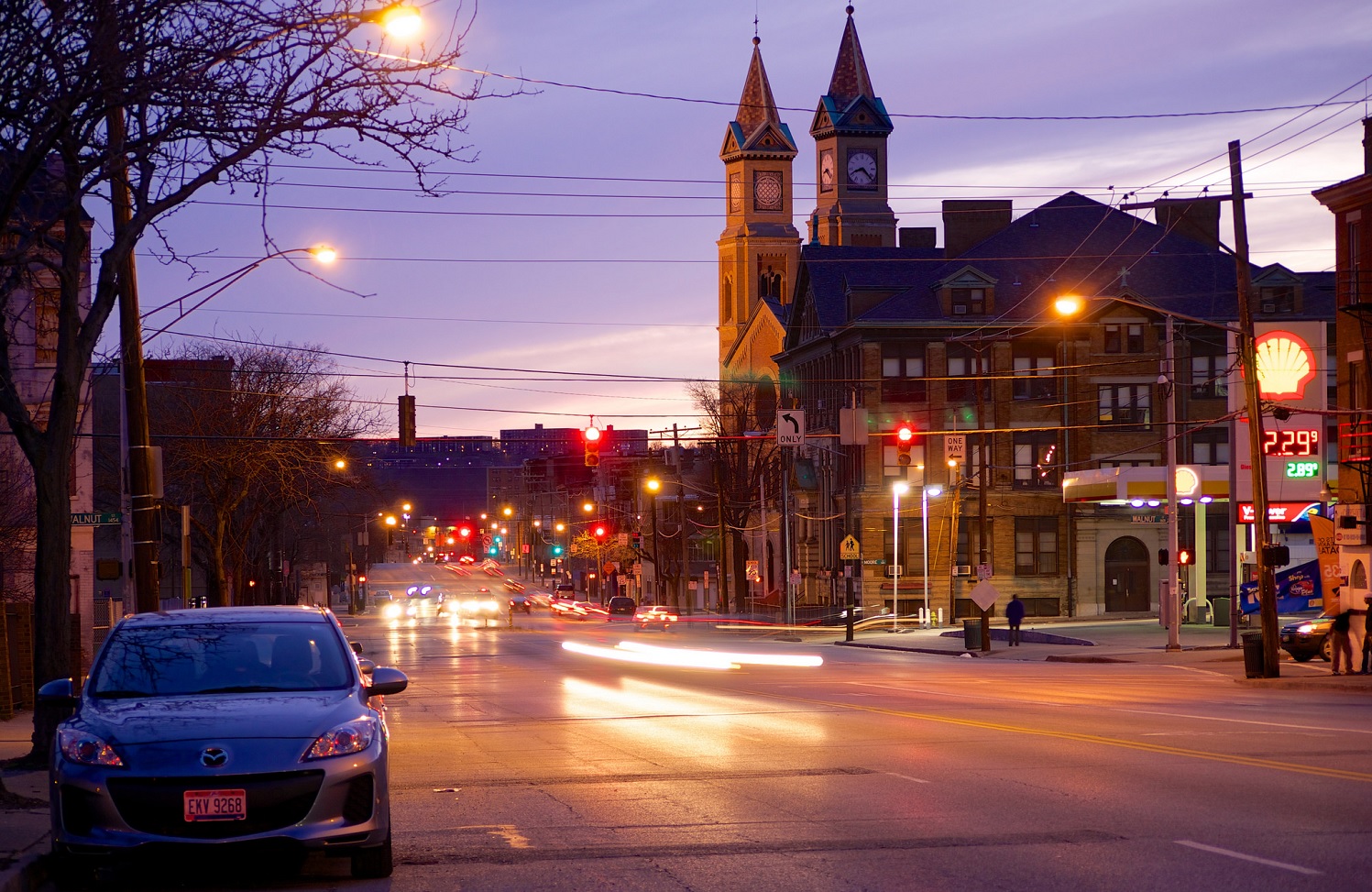
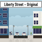
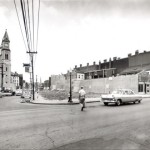
Liberty Street was originally built as a typical 30 foot wide city street, but was widened to 70 feet in 1955 to serve as a connector to Interstate 471 and Reading Road. The widening required a significant number of building demolitions and physically severed the neighborhood into two halves. Over the past fifteen years, as the southern half of OTR has redeveloped, the northern half has seen much less investment–and most of this has been in the area around Findlay Market, not along Liberty Street.

It is uncomfortable as a pedestrian to cross Liberty Street, as the walk light changes almost immediately to a countdown timer, and it takes about a half a minute to cross walking at an average speed. The current design, at 7 lanes wide, is optimized for speeding cars and is wholly inappropriate for a dense urban neighborhood like Over-the-Rhine.

Liberty Street is too wide and the City knows it. At an open house event in 2015, the City of Cincinnati first proposed a “road diet” for the street. Over the next several years, they facilitated several community input sessions regarding what came to be called the Liberty Street Safety Improvement Project. Each of these meetings was held at the Woodward Theater for a packed audience of people who live, work, or spend time in Over-the-Rhine. Members of the community spoke about the need to make Liberty Street safer for all people, including pedestrians, bicyclists, and transit riders–not just drivers.

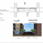
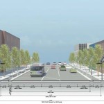
DOTE staff took the community input into consideration and ultimately presented their final plan to OTR Community Council on October 23, 2017. The plan called for removing two lanes from the south side of Liberty Street, reducing the crossing distance for pedestrians and discouraging excessive speeding. Additionally, this will free up land for new development along the south side of the street, providing space for new housing, retail, or office space.

As of June this year, the project was set to go out for bid this fall and begin construction in 2019, according to the city’s website.

Unfortunately, in August, the City Administration decided to “pause” the Liberty Street Safety Improvement Project because of concerns about the traffic that will be generated by the new FC Cincinnati stadium in the West End and a sudden concern about how the installation of a new water main would be funded.

The Liberty Street plan, which has been in the works for years, has now been mothballed because of a stadium plan that didn’t exist until a few months ago–publicly, at least. To make matters worse, City Council previously denied the OTR Community Council’s request to be involved in the stadium’s Community Benefits Agreement, saying that OTR would not be impacted by the stadium; but now seems that Over-the-Rhine may be negatively impacted by the cancellation of the Liberty Street Safety Improvement Project.

The City Administration’s concern about traffic is bizarre, as the narrowed Liberty Street would maintain five lanes of traffic during peak traffic times, the same number of travel lanes that exist today. Typically the outer lanes would be used for parking during off-peak periods, but the city could install “no parking” signs on game days. Therefore, the impact on traffic through the neighborhood would be minimal or non-existent.

As for the water infrastructure, that can be solved through a mix of council and departmental leadership. An example of that is a potential solution presented by Councilmember P.G. Sittenfeld to use the money from the sale of the Whex garage to plug the budget gap.

We urge the City Council to keep the city’s promise to the Over-the-Rhine community and pass legislation requiring the City to follow through with the Liberty Street Safety Improvement Project.

Categories
News Transportation

GUIDE: How to Ride the Bus in Cincinnati

So maybe you’ve been thinking for a while that you should actually take this ‘public transit’ thing that you’re always saying we need more of. Maybe you’ve been meaning to ride the bus to get to bars and shopping but put it off because you can’t figure out how to use the system. Or maybe you work downtown and would ride the bus, but you either get a parking or bus pass from your employer and you drive because it seems easier.

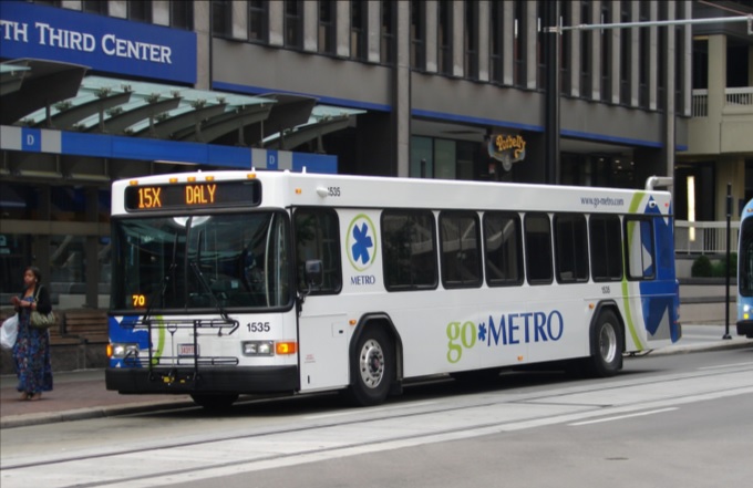
Regardless of the reason, there are many benefits to taking public transit as opposed to driving or taking a rideshare vehicle in Cincinnati. While our city gets a bad rap on the state of our bus system, the reality is that most of the city is easily accessible by bus. The 6 heaviest routes offer good daytime frequencies, serve the densest parts of the city, and are easy to understand when it comes to where they serve. These routes serve the arterial, or main, roads in Cincinnati, including Glenway, Hamilton/ Clifton, Vine, Reading, Montgomery, and Madison/Erie Avenues. Due to the geography and history of development in Cincinnati, most business districts and dense residential areas are on these roads. We are a lot more accessible than you might think!
But how do I use this bus? It may seem challenging to those who are not familiar with the system and how it works, but it’s nearly as easy as calling an Uber. In this article, I will address the three basic questions people have about riding the bus in Cincinnati: how do I know where it goes, how do I pay for my trip, and how do I not miss my stop.

Where Does the Bus Go?

There are several apps and websites that will plot the best route(s) to take as well as alternatives. Google Maps, which is standard on most smartphones, is easy to use and understand. Simply type in your destination and hit the transit icon as your travel mode and Google will do the rest. The app tells you where the nearest bus stop is, walking directions to the stop, and the estimated travel time once you are on the bus.

Another great app which offers much more functionality is the Transit App. This app gives the same directions as Google Maps does, but also includes a live tracker and time countdown of each bus on every route so you don’t have to wonder where the hell your bus is. The user interface is a little friendlier than Google’s as it is centered around transit usage. Additionally, the Transit App works in nearly every city worldwide that has public transportation options. It works especially well with multimodal travel and can estimate your travel time using a combination of travel modes like bike to bus, walk to bus, or bus to bus.

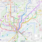
If you are more map-oriented and want to check out the entire route to learn where it goes, the Transit App has the ability to show the actual routing of each bus line and how long it would take to travel to each stop in the entire network by bus. Metro also offers its bus schedules and route maps on its website under Schedules. However, you must already know which line you are taking to take advantage of this.

Finally, you are always welcome to step onto a bus at your stop and ask the driver if this bus is going to X location. The drivers are knowledgeable about their routes as they drive them every day and will give you good advice on whether you should take this bus or another route nearby.

How Do I Pay for My Trip?

There are several ways to pay your bus fare with cash, credit/debit card, smartphone app, or stored value card. First, an explanation of the fare system. The fare in Zone 1, which includes the City of Cincinnati, Norwood, St. Bernard, Elmwood Place, Golf Manor, Delhi Township, and Cheviot, is $1.75 per rider. If you will need to transfer to another line to complete your trip, a transfer slip is an additional $0.50. Hot tip: if you are traveling somewhere and anticipate you will be returning by bus within 2 hours of first paying your fare, ask for a transfer and use that to return home. Transfers are good for up to 2 hours after requesting one and this can save you from spending another $1.75 for your return trip. If you are traveling outside of Zone 1 into Zone 2, the rest of Hamilton County, the one-way fare is $2.65 and transfers are still $0.50.

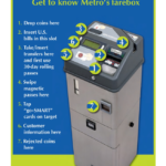
The most basic way to pay your fare is with cash, but keep in mind that the buses’ farebox does not give back change. If you only have singles, you will not be getting a quarter back for buying a Zone 1 ticket. Beyond paying cash you may purchase a stored value card, which you can load up with cash or by credit/debit card at any Ticket Vending Machine and select stores throughout the city. For example, the Clifton Market on Ludlow Ave sells stored value cards. You may put multiples of $10 on a stored value card. Don’t lose your card! Paying for your fare is as simple as swiping your stored value card on the bus, and it will automatically deduct your fare from the card’s balance. This removes the need to carry cash to pay the fare and is much easier and faster to use.

Finally, last year Metro introduced its Metro EZRide app which allows users to pay their fare with their smartphones. Once you have entered your credit/debit card information into the app you may purchase tickets on your phone at any time, to be used at any time. This also includes streetcar tickets. The app is quick enough that you can quickly buy a ticket as your bus approaches the stop if you forgot to beforehand. Simply activate your ticket as you step onto the bus and show the driver your screen. That’s it!

How Do I Not Miss My Stop

Generally speaking, Metro’s buses do not announce the stops they are approaching outside of major stops and transfer points. While some have good spatial minds and generally know where they are at all times, most people need a little help remembering which stop is their destination. I would recommend the Transit app as you can tell it to remind you when you are approaching the stop. Using your GPS location, the app will give you a notification and a ding in your headphones to alert you that you will approach your stop in about a minute. Alternatively, you can ask the driver to tell you when the bus has reached the stop you are going to, although if the bus is full they may be too busy with other passengers to remind you.

When the bus passes the stop prior to your destination stop you must alert the driver to stop the bus by pulling the yellow/grey cord strung up on the walls of the bus, push the vertical yellow tape near the doors, or push the red button on some of the poles coming down from the ceiling. Alternatively, you can yell “THIS STOP PLEASE” to the driver if you would prefer to do it that way. When disembarking the bus, use the back doors to exit so as not to block people entering the bus. This will result in a shorter trip time for everyone aboard.

Useful Links and Pictures

All Route Maps and System Network Maps

Bike & Ride Info

Nate Wessel’s Frequency Map is still up to date, frequencies are generally the same

Categories
News Transportation

Parking Permit Policy On Deck for Over-the-Rhine

With parking requirements poised to be lifted in the urban core, the City of Cincinnati is moving forward with implementing a Residential Parking Program for Over-the-Rhine. The program is being finalized and could appear in City Council chambers in the near future.

In 2015, the city studied and proposed an on-street residential parking permit program for the historic neighborhood only to have Mayor John Cranley (D) veto the measure after a contentious 5-4 vote in favor of the program from City Council. At the time the Mayor favored charging residents up to $500 per permit for the program, a measure UrbanCincy supported at the time. The prior program would have cost $108 for an annual permit and would have had a cap of 450 total permits for the southern part of the neighborhood.

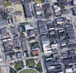
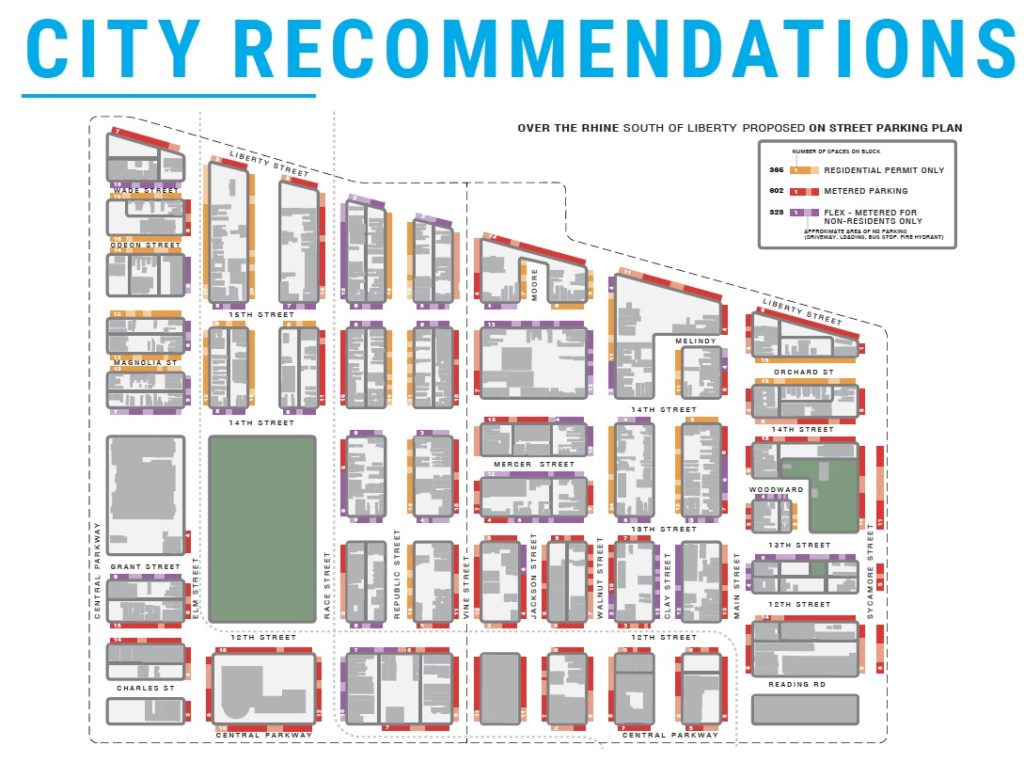
A map of the proposed Residential Parking Permit Program for Over-the-Rhine

Following the veto, City Councilman David Man (D) directed the administration to study the parking conditions of Over-the-Rhine and develop a set of recommendations to help guide the city in its decision making on the policy. The City hired Walker Consultants to conduct a study, which extended over several years and engaged various Over-the-Rhine community stakeholders.

The results of that study have been released and the city is moving quickly to act. Under the plan developed by the city, residential parking permits will cost $150 per year with a cap of 500 total permits. Of those permits, half of them would go to qualifying low-income residents who will pay a reduced annual rate of $25 a year.

Permits will allow residents to park in non-metered residential streets as well as “flex” areas on main commercial streets in the neighborhood. In a memo to City Council, Director of Community and Economic Development Phillip Denning recommended that permit numbers and cost should be regulated by the City Manager so costs and numbers for the program can change over time as the city gets feedback and measurable data from the program.

The initial costs are estimated at $180,000 to install signage and start the program. Annual operations costs are pegged at $73,500 and are expected to be covered by the permit fee income generated from the program.

If approved by City Council the program could be implemented by the end of the year.

The cost and number of permits have been a point of contention from residents in the neighborhood who voiced their concerns at a City Planning public staff conference for the removal of parking requirements in the urban core.

In his report to City Planning Commission for the Urban Parking Overlay Senior Planner Alex Peppers wrote that “the primary concerns voiced by residents were for the permit cost, the total number of permits issued and the lottery system in which they are issued, lack of community engagement, and how the City would conduct enforcement.”

No official council hearings have been set regarding the program however the first step of Walker Consultants recommendations which will remove off-street parking requirements in the urban core will be discussed tomorrow at City Planning Commission and again at the Economic Growth & Zoning Council Committee Meeting next Tuesday at 9 AM in City Council Chambers at City Hall.

Categories
Business Development Opinion Transportation

EDITORIAL: Parking Requirement Removal Should Be First Step In Broader Reform

Recently, the Cincinnati City Planning Department sent out a notice to property owners in downtown and Over-the-Rhine regarding the implementation of an Urban Parking Overlay District. The city will hold several meetings with the next one being at the City Planning Commission meeting this Friday, July 27th at 9 a.m. If approved, the district would remove the requirement for uses in downtown to provide off-street dedicated parking.

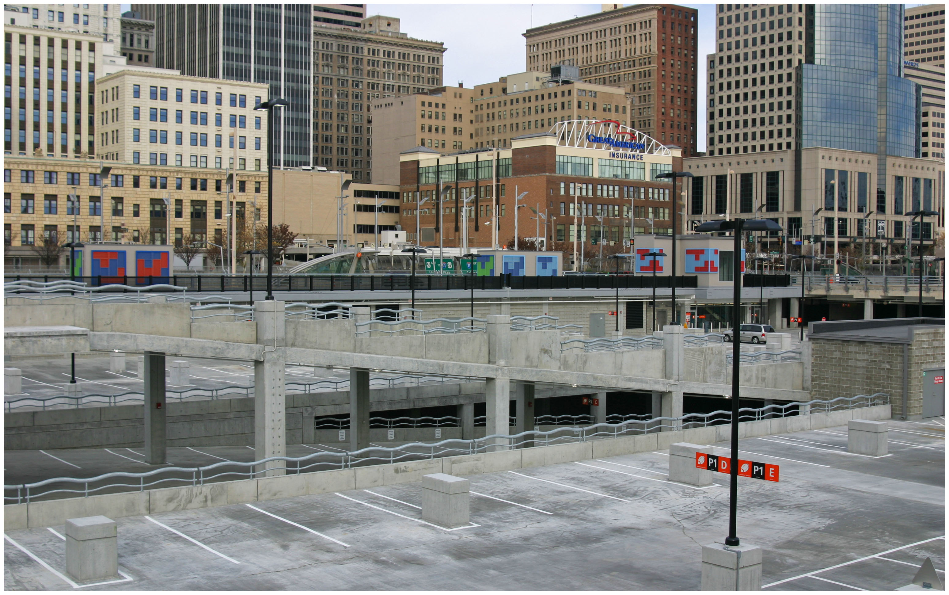
Since 2012 when I first wrote about parking in downtown and Over-the-Rhine the number of off-street parking supplied has increased well over 3,000 parking spaces (38,760 in downtown alone according to DCI). The Banks parking garage alone with over 6,000 spaces is the third largest parking garage in the United States.

We have an abundance of parking in the urban core.

At its core function, the removal of required parking minimums has proven to allow for more creative parking solutions to blossom. As Donald Shoup, parking guru and professor at UCLA found in his book The High Cost of Free Parking, most parking minimums were established as arbitrary standards by planners in the middle of the last century. Many of these requirements are intended to account for the busiest times of the day or year. UrbanCincy interviewed Dr. Shoup in 2014 regarding a variety of local parking issues.

In Nashville for example, the removal of parking minimums helped remove barriers for small-scale developers who could not afford to acquire additional land for a few parking spaces. Instead, agreements with nearby garages helped facilitate automobile storage demands.

Back in 2012 Nashville Planner, Joni Priest told UrbanCincy, “Removing the parking requirements from downtown zoning allows flexibility for site-specific and program-specific solutions. Flexibility is key in urban environments,” said Priest. “As downtown becomes more comfortable for pedestrians, cyclists and transit users, new development will have the flexibility to build less parking.”

Meanwhile, in Cincinnati, the city continues to struggle with developers looking to build new infill or rehabilitate and reactivate the many historic buildings in the urban core.

Even when parking requirements are reduced or eliminated most banks and investors still require parking to be provided or identified for developments to move forward. Removing zoning requirements for parking often allows the developer to build the parking that is really needed and not what is arbitrarily demanded by local zoning controls. This reduces the cost of development and in turn, allows more affordable housing to be provided.

Removing parking minimums also preserves historic structures from being demolished for parking lots and garages. Over-the-Rhine is the largest collection of German Italianate buildings in the country yet it currently has lost over half of its historic structures. If parking minimums are retained, the demolition of our communities historic assets will continue to be encouraged to meet the city’s parking requirements.

There is an abundance of alternative options to traverse to, from and around the urban core. These modes include walking, biking, CincyRedBike, buses, streetcar, uber, lyft, Gest, and Zipcar. In the near future, we’ll likely see Bird scooters and Lime bikes introduced. In the long-term, improved transit and autonomous vehicles will reduce the need to own and store a vehicle. Every one of these trips is one less parking space needed per resident, worker or visitor.

It would be wise for the City to anticipate criticisms from residents of the urban core. Some of whom recently voiced concerns regarding the increasing struggle to find on-street parking spaces. This is a struggle that is common in many dense, historic urban neighborhoods across the country where the expectation is that it is very rare to snag a parking space directly in front of a persons residence or business. However, it is important to consider this in light of a broader parking strategy, one that would balance resident, business and development demands.

There are a few additional strategies for city policymakers can consider in conjunction with approving the Parking Overlay District to remove parking requirements. Most of these are adapted from Dr. Shoup’s recommendations:

1.) Continue to pursue the implementation of the on-street residential parking permit program.

2.) Add on-street 10-30 minute convenience parking at some spaces around Findlay Market.

3.) Consider opportunities for future public underground parking facilities to serve Findlay Market and the rest of Over-the-Rhine north of Liberty Street.

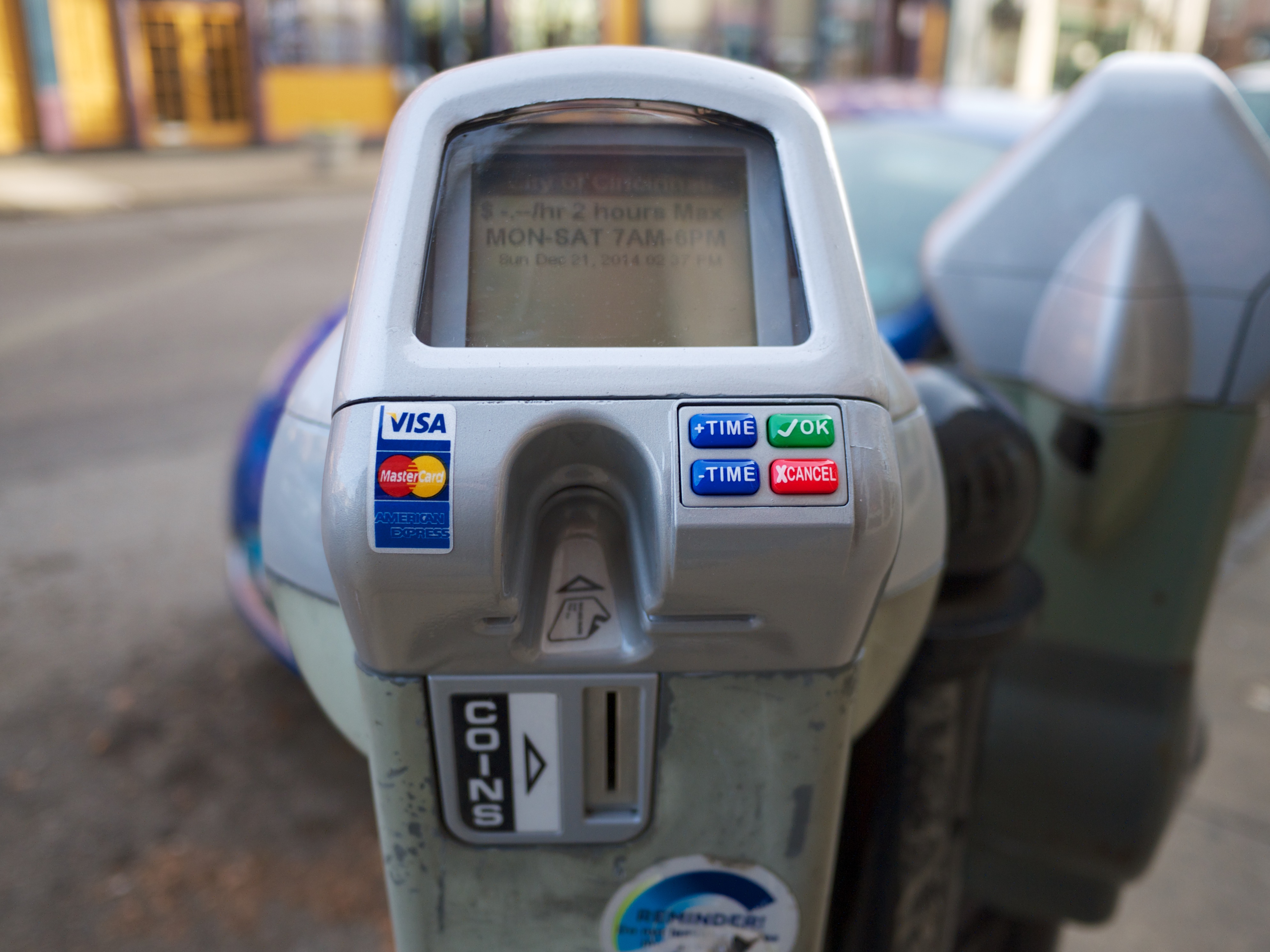
4.) Enable the demand-responsive capabilities for on-street parking meters. This strategy will encourage more meter usage and could be a potential revenue add for the city’s parking meter program.

As part of a broader plan, it makes sense to remove the parking space requirements in the urban core. To quote Shoup, “If Cincinnati uses fair market prices to manage on-street parking – the lowest prices that will leave one or two open spaces on every block at every time of the day – it won’t have to require off-street parking spaces for every land use. If the government regulated any other aspect of our lives as precisely as it regulates the number of off-street parking spaces everywhere, everyone would join the Tea Party.”

Removing parking minimums is a productive first step in the city’s comprehensive strategy to balance the demands of residents, workers, visitors who help make our urban core a vibrant and attractive place. Supporting this policy is a step in support of enhancing housing affordability, historic preservation, environmental sustainability and livability in our urban core.

Categories
Opinion Transportation

Opinion: A Boulevard for Brent Spence Bridge Exit

Covington is in the midst of a redevelopment wave. A number of prominent historic buildings have recently been rehabbed and several large new mixed-use buildings are in the planning stages or under construction.

Two of the new projects, “Riverhaus” at 501 Main Street, and the John R. Green Lofts at 411 West 6th Street are scheduled to bring 369 new apartments into the Main Strasse neighborhood.  Census tract 603 covers most of the Main Strasse neighborhood and it shows 1,491 residents living there in 2015. Those two new projects will add a significant increase in the local residential population density.  Their ongoing progress reflects the demand for residential development in pedestrian-friendly urban spaces.

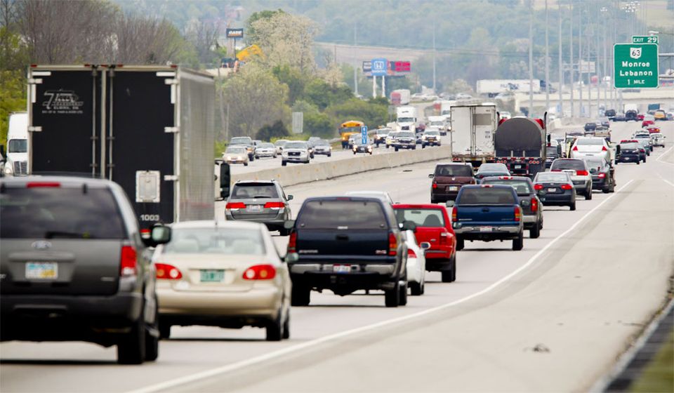
Part of Covington’s urban core that hasn’t seen any new residential development is the area north of 4th street between Madison Ave. and I-75.  Dubbed “Hamburger Heaven” in the city’s recent City Center Action plan, it contains multiple fast food restaurants, the sprawling one-story IRS center, and a sea of parking lots. Part of the reason the area hasn’t seen any development is that Covington’s 4th Street delivers 27,000+ cars per day to I-75. That much traffic is incompatible with pedestrian-friendly urban space.  

The City Center Action Plan makes redevelopment of the Hamburger Heaven and IRS sites a priority but it does not address the area’s inhospitable traffic. It’s a problem: How do you connect new development north of 4th street to the existing pedestrian-friendly urban fabric while maintaining all the traffic to the interstate?

The imminent closure of the IRS site presents an opportunity to address the problem. The 23-acre site covers 3-1/2 blocks of frontage on 4th street. Most of the remaining space adjacent to 4th street between the IRS site and I-75 consists of parking lots.

Once the IRS site is closed, the city of Covington should widen 4th street and convert it into a multiway boulevard.

A multiway boulevard consists of a series of central lanes to move through-traffic, side lanes with on-street parking to serve local vehicles and bicycles, and broad sidewalks to serve pedestrians. Tree-lined medians separate the local traffic from through-traffic, and trees on the sidewalk further separate pedestrians from traffic. Think of it as a “mixed-use street.” Because the street supports a different mix of uses – people, bicycles, transit, through traffic – it can more readily support mixed-use buildings at its edges. Mixed-use buildings add the density and diversity of uses that support pedestrian-friendly urban space.

San Francisco recently took an existing street and converted a portion of it into a new multiway boulevard. The creation of Octavia Boulevard was possible because an earthquake damaged a freeway and made it unusable. Instead of rebuilding the freeway, San Francisco added its right-of-way to a four-block stretch of Octavia Street, which became Octavia Boulevard.

Today, Octavia Boulevard moves 45,000 cars per day in two directions, it has side streets and broad sidewalks to serve local residents, and the creation of the street spurred new development on its edges. Octavia Boulevard sets a clear precedent for converting underutilized auto-oriented development into more productive mixed-use urban development. Octavia Boulevard is aesthetically pleasing, practical at moving traffic, and successful at promoting economic development.

To implement Covington’s “4th Street Boulevard Project” the street’s existing 50-foot right-of-way would be widened to the north to create a 100+ foot wide right-of-way.

The expanded right-of-way will accommodate the multiway boulevard’s additional lanes, medians, and sidewalks. Expanding the right-of-way will require part of the IRS parcel, a number of parking lots, and the demolition of a fast food chain restaurant.

Different design options could include making 4th street’s through lanes either one-way or two-way. A dedicated transit lane could be accommodated. Bicycles can share the local lanes with local vehicular traffic.  

Implementing the 4th Street Boulevard Project would have multiple effects that support the ongoing urban renaissance. The medians and parked cars provide protection for people to walk, eat, drink, and socialize outside. Trees also protect pedestrians and provide a canopy for shade and cooling. Bicycle use will be safe and easy. Converting 4th street from a single use – channeling cars to I-75 – into a multiway boulevard will facilitate the development of dense mixed-use buildings.

There’s a historic opportunity here. The IRS site was born out of federal urban renewal projects in the 1950s. Its time is now at an end.  The trend of the future is to live, work, and play in the urban core. The current traffic on 4th street is a barrier to urban development. Converting 4th street into a multi-way boulevard will support the traffic flow but mitigate its negative impacts. Recent examples provide good evidence.

If the ongoing urban development is to be sustained and space north of 4th street – just blocks away from the Ohio River – is to be put to its highest and best use, then the traffic along 4th street must be addressed. Converting 4th street into a multiway boulevard will do just that.


This is a guest editorial by Chris Meyer that originally appeared in the CNU Midwest blog. CNU and CNU Midwest are content partners with UrbanCincy.

If you would like to have your thoughts and opinions published on UrbanCincy, simply contact us at editors@urbancincy.com.