Categories
News Transportation

Parking Guru Donald Shoup to Speak at Mercantile Library Next Tuesday

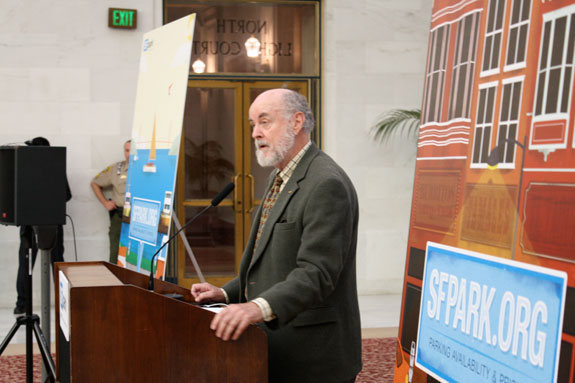
Donald Shoup, world renowned economist and researcher, will be speaking at the Mercantile Library on October 28.

For those unfamiliar with his work, he is a forerunner in examining the effects of parking policy on urban economics, which he presented in his 2005 book The High Cost of Free Parking. The book was preceded by an article of the same name, which Shoup wrote in 1997.

Mandated parking requirements, it seemed, was an issue that many planners felt ill-equipped to tackle. It had not been lectured on in their classes, and textbooks were often silent on the matter. And according to the American Planning Association, planners requested information on this topic more than any other.

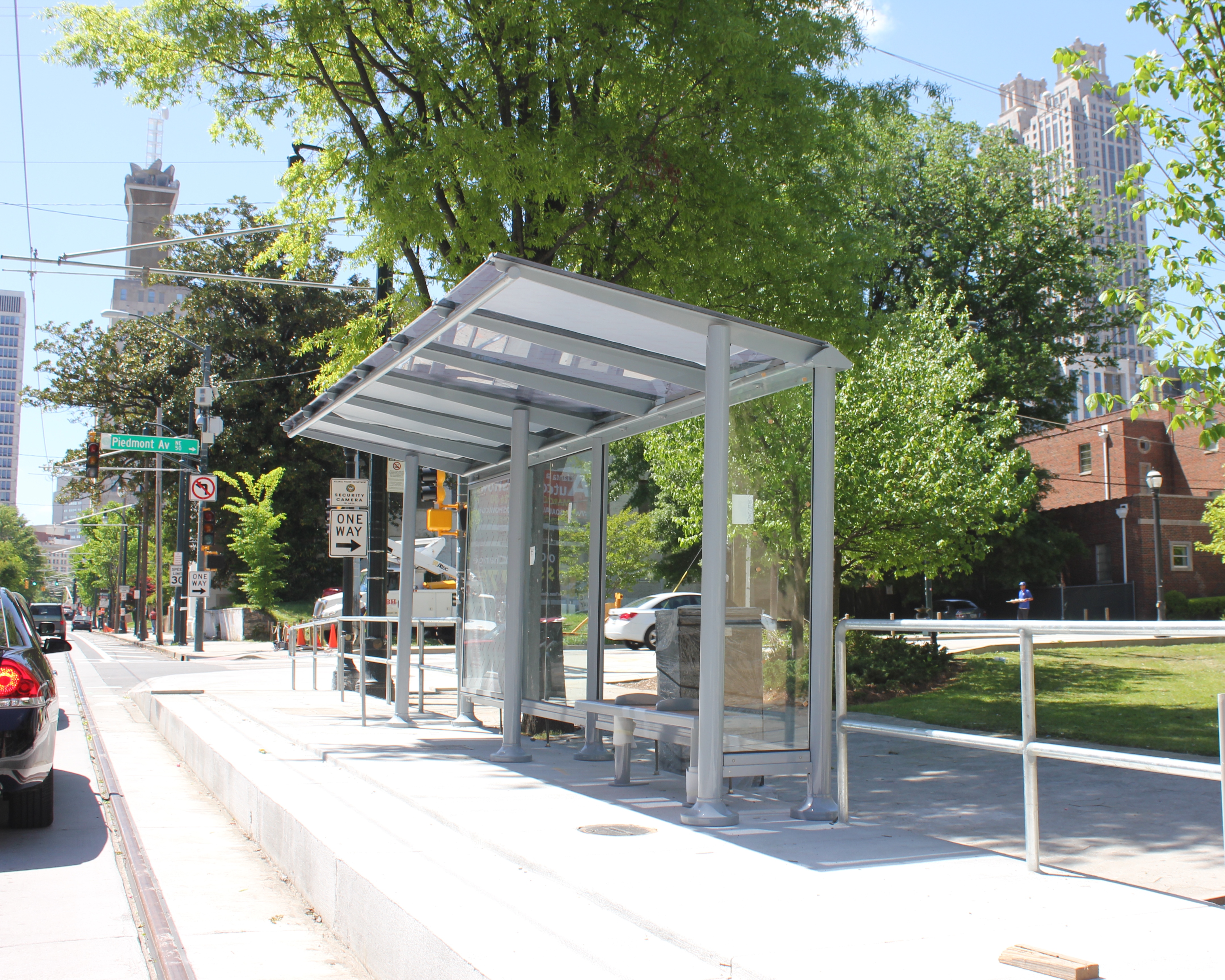
Mandated minimum parking requirements have been a zoning code staple since the widespread adoption of the automobile. For example, a zoning code may require that apartment buildings supply one parking space per unit, or that a restaurant provide one parking space for every 300 square feet of space used by patrons. While parking minimums are typically set by the use of a property, they vary based on what kind of zoning district the property is found in – for example, a low density, auto-oriented district will require more spaces than a dense area that is more walkable.

As planners wrote their zoning codes, they had few tools at their disposal to discern where they should set their parking minimums, which led to the common practice of borrowing numbers used by other cities that often did not account for local conditions. And as Shoup found, even if planners could observe capacities and usage for, say an office building, not every office building was created equal. An office building that allowed employees their own offices instead of cubicles would have fewer employees per square foot and therefore should conversely be assigned a lower parking spot minimum.

And since minimums were based on the maximum capacity for a particular use, an additional quandary arose from requiring parking that would very certainly sit unused most of the time.

Upon examination of the issue, the numbers used to set minimum parking requirements were considered arbitrary – a best guess, and applied with broad brushstrokes. Therefore, Shoup set out to examine where and how the cost of this imposition on property development was being absorbed.

Analyses were able to estimate how much development costs increase due to parking minimums, and the results bred a new understanding of how parking requirements can increase the cost of real estate, particularly in urban areas. A portion of these costs are presumably passed on to tenants and patrons, regardless of whether they own a car and utilize a parking space.

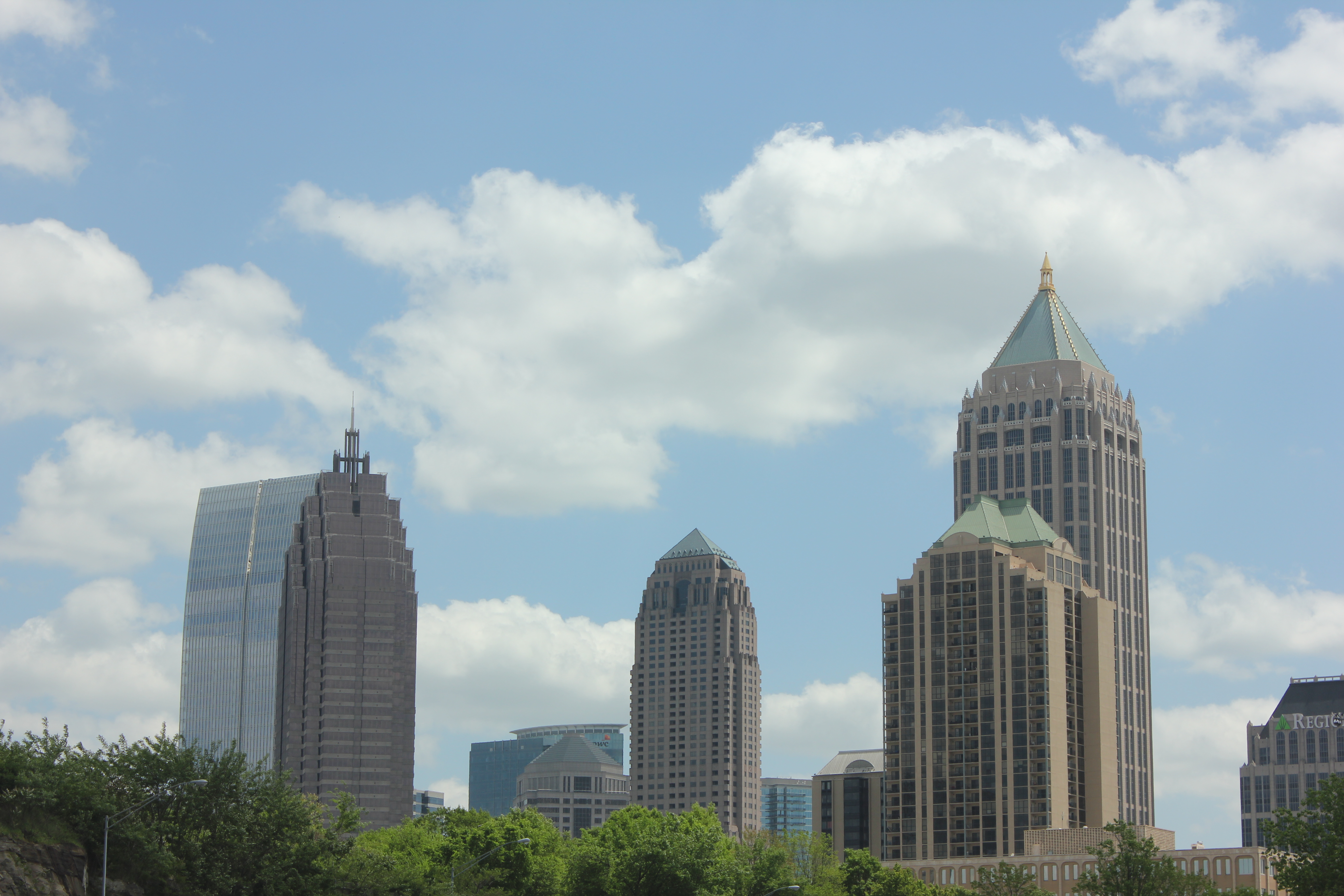
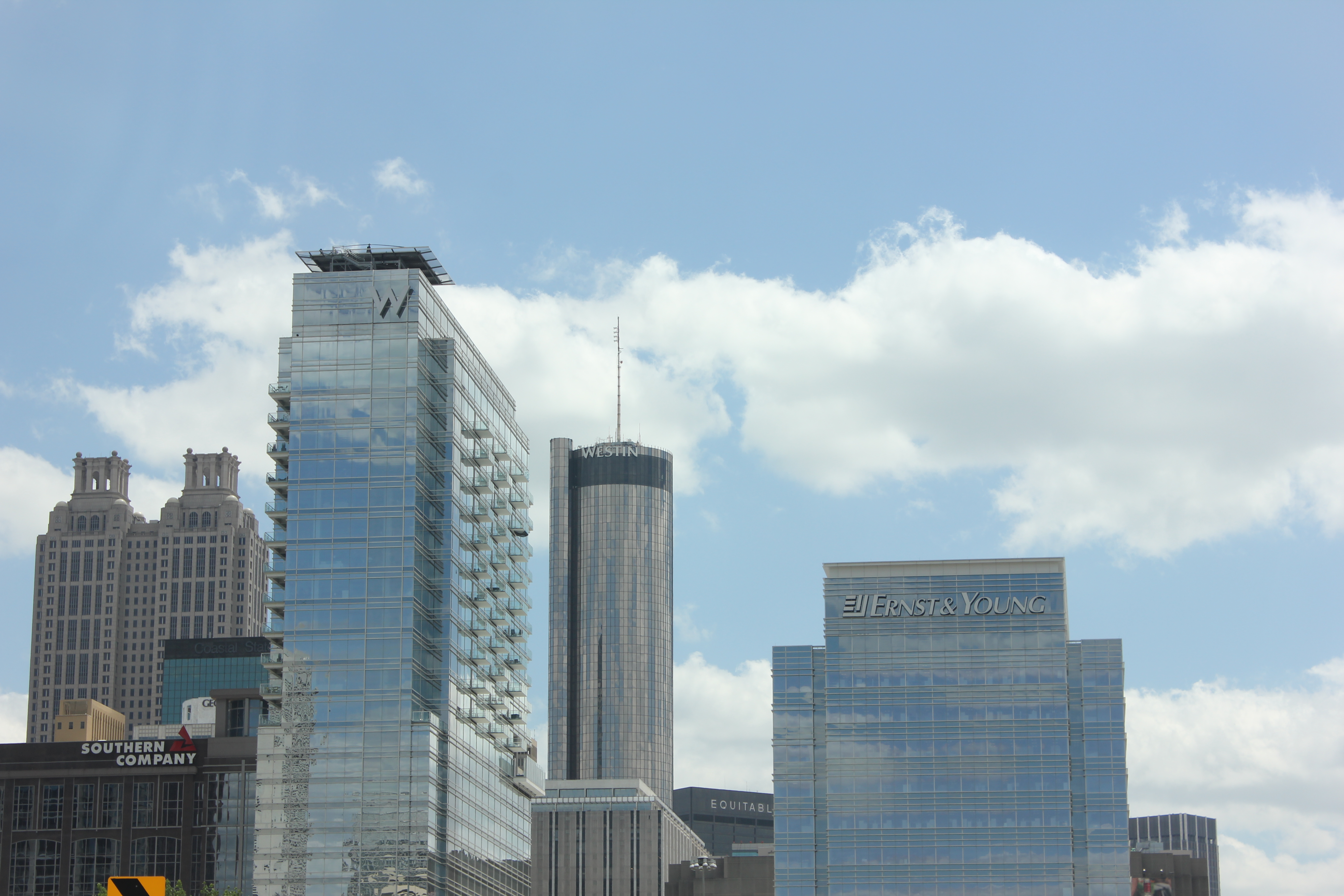
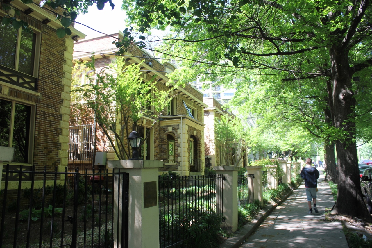
When applied to denser historic districts built before the automobile, lots frequently are not large enough to provide the amount of spaces that a zoning code may require for parking. The result is a tangible barrier to redevelopment, revitalization and the adaptive reuse of buildings.

Brian Bertha, a researcher in California, analyzed project costs before and after the establishment of parking minimums in 1961 in Oakland. He found that after the requirements were put in place, construction costs per dwelling unit increased 18%, housing density fell by 30%, and land values decreased by 33%.

In Shoup’s research he speculates that if “emancipated from minimum parking requirements, land and capital will shift from parking to uses that employ more workers and pay more taxes.”

Instead he advocates making parking a pay-per use amenity, and thus encourage greater use of public and active transportation. Furthermore, he believes that revenues generated from on-street parking be utilized within neighborhood improvement districts in order to provide more amenities in those districts.

Just as we are taught in economics class that “there’s no such thing as a free lunch,” Shoup uses his skill for economic analysis to illustrate that there’s no such thing as a free parking space.

Driving is still necessary for ease of accessing employment in most American cities, but Shoup’s analysis allows policy makers to think critically about the interconnectedness of these policies, and the role that a thoughtful approach can play in reducing congestion, decreasing auto-dependence, and removing barriers to investment.

If you would like to attend Dr. Shoup’s lecture, he will be speaking downtown at 6pm at the Mercantile Library at 414 Walnut Street. Tickets can be purchased online for $10 for members and $15 for non-members.

Categories
Business Development News

Construction Pace Picking Up on $120M Smale Riverfront Park Project

As is often the case in construction, warmer weather brings greater progress on the site. This holds true for the $120 million, 45-acre Smale Riverfront Park.

According to project manager Dave Prather, work has picked up in recent months and significant elements of the ongoing phase of work are now becoming visible.

One of the elements that is very quickly nearing completion is the Heekin/PNC Grow Up Great Adventure Playground that sits immediately beside the Roebling Suspension Bridge, and is on schedule to open in spring 2015. Significant progress is also now noticeable on the Vine Street Fountains & Steps, which are almost identical to their existing Walnut Street counterpart, and the Anderson Pavilion.

In the latest video update from Cincinnati Parks, Prather walks viewers through all the progress and mentions that a great deal of additional work will be completed in the near future.

“It’s really starting to come into focus,” Prather said in the 15-minute video update. “The next time we film, which will be in late summer, you’ll see the slides and pick-up sticks in place, all the stone climbing walls will be there, and you’re really be able to get a feel on what we’ll have to offer in this next extension.”

One of the things significantly different about the portion of Smale Riverfront Park west of the Roebling Suspension Bridge is the Anderson Pavilion and Carol Ann’s Carousel. These two features will create the most significant building structure at the central riverfront park to-date, and serve as potential sources of revenue to maintain the sprawling park going forward.

The implementation of the full vision for the park will not come for several years, and is still seeking additional capital funding. Some capital funding help, however, has been found this year in the form of a $4.5 million grant from the U.S. Army Corps of Engineers.

The ongoing work is also being aided by $4 million from the City of Cincinnati that was approved last year following a one-time allocation of resources from a property tax supported bond increase in 2013. The recent budget quickly passed 6-3 by City Council, however, included no additional capital support for Smale Riverfront Park.

Project officials estimate that an additional $30 million will be needed to complete the park.

In April, the American Planning Association presented its National Planning Excellence Award for Implementation to Cincinnati for its execution of the Cincinnati Central Riverfront Plan, which included the reconfiguration of Fort Washington Way, and the development of The Banks and Smale Riverfront Park.

Categories
Business Development News

CNU22: Cincinnati Wins National Planning Award for Form-Based Code

The City of Cincinnati’s Department of Planning & Buildings has been on a roll lately. This past weekend in Buffalo, at the Congress for the New Urbanism (CNU) national conference, the city won its third national award of the year for its new form-based code.

CNU’s grand prize for the Best Planning Tool or Process was actually a tie and thus jointly awarded to Cincinnati for its form-based code (FBC) and Station Center, a transit-oriented development in Union City, California.

As first reported by UrbanCincy, the Department of Planning & Buildings was honored with the Daniel Burnham Award for a Comprehensive Plan at the American Planning Association’s (APA) national conference in Atlanta.  Additionally, in late 2013, the Department won the Ohio APA’s award for Comprehensive Planning for a Large Jurisdiction.

In 2012, city leaders were also awarded with the Frank F. Ferris II Community Planning Award from the Hamilton County Regional Planning Commission.

In addition to city staff and thousands of Cincinnatians, those involved in developing Cincinnati’s award-winning FBC included Opticos Design, Hall Planning & Engineering, Urban Design Associates, glaserworks, Wise Economy Workshop, and Urban Fast Forward.

“It is an honor for us to have our code recognized by an organization that is on the cutting edge of best practices with regard to planning tools and good urbanism,” said Alex Peppers, senior city planner for Cincinnati. “We put a lot of work into developing a code that would fit our context and assets.”

What makes Cincinnati’s FBC unique is that it is a voluntary tool for neighborhoods who seek to preserve the character of their centers of activity and historic business districts. Thus far, it has been adopted in College Hill, Madisonville, Walnut Hills and Westwood.

Jurors noted that they were particularly impressed by the code’s extensive photo documentation and mapping analysis that calibrated the code’s application, and reinforced the unique characteristics of Cincinnati’s urban neighborhoods.

“The Cincinnati code is an excellent example of that advancement in the deployment of SmartCode, with particular attention paid to public process, neighborhood structure and graphic presentation,” explained Elizabeth Plater-Zyberk, one of CNU’s award jurors. “It reinforces Cincinnati’s historic urban patterns with guidance for appropriate infill and predictable redevelopment building.”

The final draft of Cincinnati’s form-based code is available online and can be accessed here.

On the twelfth official episode of The UrbanCincy Podcast, we were joined by Roxanne Qualls to discuss Cincinnati’s development and implementation of form-based codes. You can subscribe to The UrbanCincy Podcast on iTunes for free.

Categories
News Opinion

APA14: Atlanta and Its Evolving Relationship with Urbanism

A few weeks ago I journeyed seven-plus hours by car from Cincinnati to Atlanta for the American Planning Association’s (APA) national conference. The five-day conference was held in the Georgia World Congress Center in the core of Atlanta between downtown and Vine City.

This was my first trip to Atlanta since passing through the city in the early 1990’s.

For an urbanist, the city of Atlanta at first glance is a conundrum. Subway stations that seem to feed park and rides, buildings that barely front the street and streets with no crosswalks where pedestrians play a dangerous game of Frogger just to cross to the other side are all typical occurrences in the city.

However the city is all of these things and more. Atlanta boasts beautiful and funky neighborhoods such as Poncey Highlands, Little Five Points and Castleberry Hill. Beautiful parks such as Inman Park and the Frederick Law Olmsted-designed Piedmont Park.

The BeltLine, a multi-modal transportation corridor we reported on last week, has sparked development along its route and spurred pedestrian and bicycle connectivity between many of Atlanta’s intown neighborhoods.

During the conference I also had a chance to view the Atlanta Streetcar, which could begin operating later this year. Planners in Atlanta have tucked the streetcar’s maintenance facility under a highway viaduct. This is where the streetcars that have already arrived are now being stored.

As you might expect, social divisions by income were evident. I had a chance to explore some of Vine City, which is located just west of where the conference was held and was also home to Martin Luther King Jr. This neighborhood has given way to abandonment and decay. Empty lots, run down houses and discarded vehicles littered the streets.

At the conference, one particular session focused on the redevelopment of Vine City and the adjacent English Avenue. During that session, neighborhood leaders and proponents of the redevelopment plan were questioned vigorously by a representative from a community group that is active in those neighborhoods. The challenges reminded me of the not-so-distant past for Over-the-Rhine and other Cincinnati neighborhoods, such as the West End or Avondale, that are still struggling to rebuild what they have lost over the years.

On the last day of the conference, the APA announced that they had completed a survey which found that both Millennials and Baby Boomers prefer to live in urban settings where there are plenty of transportation options and walkable neighborhoods.

“If there is a single message from this poll, it’s that place matters,” stated APA’s executive director, Paul Farmer, in a prepared release. “Community characteristics like affordability, transportation choices, safe streets, high-speed internet and housing that can accommodate others or enable you to live there as you grow older matter as much as job opportunities.”

It seemed odd that the APA would choose to release this information while hosting a conference in an infamously automobile reliant city; but, while Atlanta is a city that is still overrun by the automobile it is showing signs that communities, residents and activists are coming together to push for neighborhood connectivity and pedestrian improvements.

Even though my initial impression was that the city serves as a dystopian future for urbanism where pedestrians are marginalized in urbanized places, after learning more about the city at the conference, it is encouraging to see that old mentality is changing.

Categories
News Opinion Transportation

APA14: Transportation Set the Mood at This Year’s National Planning Conference in Atlanta

This year the American Planning Association (APA) National Conference was held in Atlanta from April 26 to 30 at the Georgia World Conference Center. For those who have never been, it is five days packed full of urban-focused sessions, workshops, tours, meetings, happy hours and an awards ceremony, with approximately 5,000 in conference attendees.

Cincinnati’s Department of Planning & Buildings received the prestigious Daniel Burnham Award for for Plan Cincinnati. Last year in Chicago, Cincinnati took home this same award for the execution of its Central Riverfront Plan. Plus, UrbanCincy was recognized by Planetizen immediately following the five-day event as being one of the “top influencers” at the conference. Needless to say, the mood was especially festive for the few dozen attendees from the Cincinnati region.

Attendees and experts are also able to submit ideas for presentations, and put on a session of their own. For presenters, it is a lot like show and tell. Professionals get to share lessons, valuable knowledge gained on the job or show off a successful or interesting planning project to the world.

This year’s conference program was particularly transportation-heavy, and with good reason.

Many presenters remarked on the increasing evidence that people are trading in their car for a transit pass, a bicycle or walking shoes. Teenagers, in particular, have less interest in acquiring driver’s licenses. The rate at which this is happening is significant enough that it has been covered by nearly every major news source in the United States, according to Greg Hughes from the Utah Transit Authority in a session about transit and competitiveness.

Bloomberg Business Week reported that from 2001 to 2009, 16- to 34-year-olds took 24%more bike trips and were 16% more likely to walk to their destinations. Meanwhile, from 2000 to 2010, the share of 14- to 34-year-olds without drivers’ licenses increased from 21% to 26%.

National Geographic reported in December that this trend was acknowledged in “dramatically altered projections” for transportation energy use over the next 25 years by U.S. government forecasters.

If anyone feels that Cincinnati is bucking the trend, we could take our temperature on the invisible hand.

Zipcar, Uber, Lyft and Cincy Bike Share have all moved past the market analysis phase and are providing, or will soon provide, private-automobile alternatives within the city. In addition, bus ridership in Cincinnati grew by 3.5% last year, significantly more than the 1% seen nationally, according to the American Public Transportation Association.

This same APTA report showed the highest U.S. transit ridership in 57 years. It seems that we could be entering into a new Golden Age of transit.

Atlanta had a few transportation projects of its own to showcase. One of the favorite activities for conference attendees was exploring the Atlanta BeltLine – a 25-year project that will transform old railway and industrial sites into 22 miles of multi-modal trail right in the heart of the city. It connects multiple parks and green spaces, and given that it is woven so seamlessly into the city fabric, is a viable transportation alternative to city streets.

Atlanta boasts the largest public transit system in the southern United States, and carries roughly 500,000 passengers on weekdays.

MARTA rail services were well-used by conference attendees, and some attendees even made a point to get hotels outside of downtown and utilize the subway to get to the conference venue and back. Although not yet operational, Atlanta is also in the process of finalizing its 2.7-mile streetcar project running from Centennial Olympic Park downtown to the historic Old Fourth Ward neighborhood to the east.

Atlanta’s pedestrian-oriented Midtown neighborhood became a favorite after-conference hangout, and the restaurant and pub scene in Little Five Points was both eclectic and funky. Next year’s conference will be held in Seattle.