Categories
Arts & Entertainment News

PHOTOS: Holidays in the City [Cincinnati]

It has been quite a year in Cincinnati and it’s easy to sometimes get caught up in all the drama and miss out on the everyday beauty around you. This has been particularly true in Cincinnati this holiday season, but we asked one of our favorite local photographers, Brian Spitzig, to go around and gather some photographs these past two months.

If his name sounds familiar, that might be because you are remembering when we featured two of Brian’s tilt-shift videos on UrbanCincy in February 2012 and March 2012.

After reaching out to Brian again he put together the following collection of 48 photographs from all over the city that capture it in its holiday splendor. If you like Brian’s photos as much as we do, then please follow him on Twitter @b_spitz and on Instagram @bspitz.

This will be our last post this year, but we hope you all had a very wonderful 2013 and wish you the best in the year to come. Enjoy!

Categories
Development News Transportation

UC Planning, Engineering Students Propose Hamilton Avenue BRT Corridor

Hamilton Avenue BRT CorridorLast fall UrbanCincy partnered with the Niehoff Urban Studio on an event that highlighted the work of an interdisciplinary group of students. That semester engineering and planning students focused on urban mobility and looked at bikeways and bus rapid transit ideas within the city.

Each of the student groups presented their final research and findings to fellow academics and industry experts from around the region. We then gathered a group of transit and bike experts to engage in a panel discussion about the student’s proposals and about transportation in the region in general.

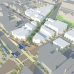
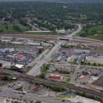
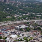
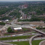
Throughout the course of the day, we asked members of the public who attended to vote on their favorite proposal. The winner was a bus rapid transit corridor along Hamilton Avenue that focused heavily on a transit-oriented development (TOD) in Northside where The Gantry is now being built.

The six-person team consisted of Tyler Kiefer, Benjamin Lafferty, Christopher Murphy, Michael Orth and Michael Walsh from the College of Engineering & Applied Science and Alexander Cassini from the College of Design, Architecture, Art & Planning.

First and foremost, the group said that their Hamilton BRT Line would most closely resemble Cleveland’s highly publicized HealthLine, which is the highest-rated BRT line, by far, in North America. The group also examined lines in Pittsburgh and Kansas City.

One of the main reasons for the comparisons to Cleveland is the similarities between the corridors. In both Cincinnati and Cleveland, the corridors connect neighborhoods under-served by transit to institutional services, while also providing greater mobility.

“The 2010 U.S. Census has shown how the population along Hamilton Avenue has less access to quick and reliable means of transportation when compared to the stats of Cincinnati and Ohio as a whole,” explained Masters of Community Planning student Alexander Cassini. “This lack of mobility directly affects citizens’ access to essential services and employment opportunities.”

Their research found that Metro’s #17 bus route, which most closely aligns with their proposed BRT corridor, currently averages weekday ridership of about 4,500 people. Furthermore, they found that approximately 17% of the households along the corridor have no car, 10% of the commuters identify as bus riders and there are 6,387 people living per square mile.

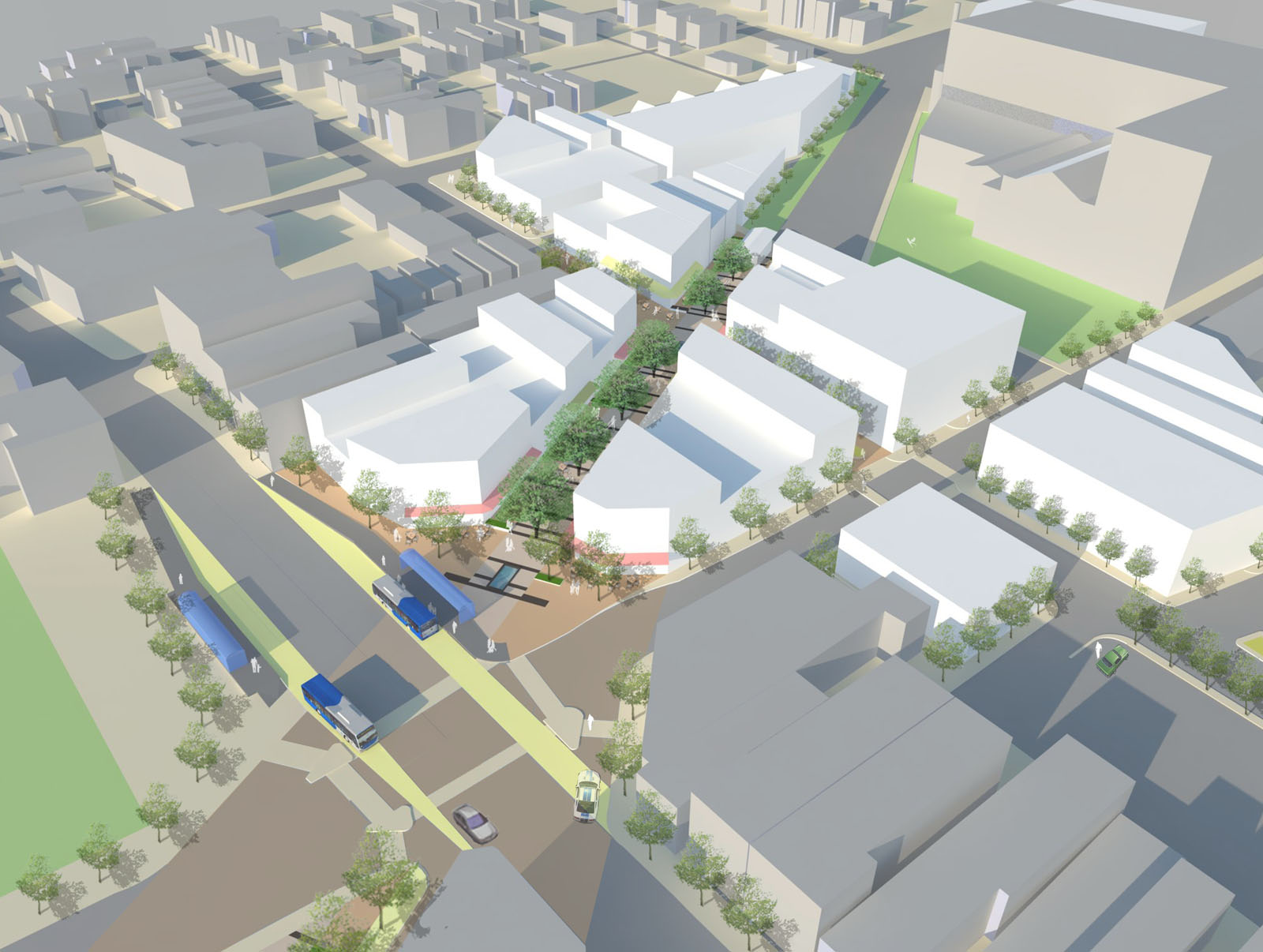
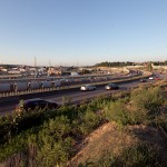
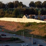
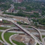
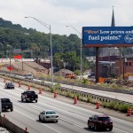
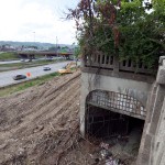
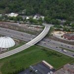
The proposed BRT corridor runs from Downtown to North College Hill, and the engineering and planning students saw this particular corridor as a major opportunity to spread investment and attention from the center city to additional neighborhoods that would take advantage of the BRT route’s 12 stations spaced out between one-half mile to three-fourths of a mile apart that would ensure faster and more efficient service. Each of the 12 station locations, Cassini notes, was selected due to its significant population and employment nearby.

“Northside and North College Hill are historic places in the city and present a great opportunity for Cincinnati to keep growing as a city,” noted civil engineering student Michael Orth.

Orth went on to say that while one of the positives of this corridor was the amount of people and businesses it could positively impact, the area’s congestion was also one of the team’s greatest challenges, stating, “There is very little room to implement a bus only lane throughout the corridor, which would be ideal for a BRT line.”

To help address this situation the group said that they envision a bus only lane, or a hybrid lane for buses and cars depending on the hour, through the congested portions of the route. Although not recommended, if a hybrid lane was determined to not be satisfactory Orth said that further study could be done to examine whether there would be enough benefit to remove on-street parking in order to provide for a consistent, dedicated bus only lane.

Other technology to help facilitate the quick movement of buses along the corridor would include arrival detection at traffic signals so that the lights can change in order to accommodate an approaching bus.

Existing Metro bus service, they said, would largely be redeployed to avoid redundancy, but some would remain since local buses stop more frequently – potentially creating a corridor of localized bus and express BRT service.

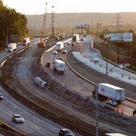
Hamilton Avenue BRT in Metro*Plus Context
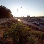
One area where the Southwest Ohio Regional Transit Authority (SORTA) has already begun enhancing bus service is along Montgomery Road, which connects Downtown with the Kenwood area. That new Metro*Plus service, while not full BRT, is a step in the right direction according to the University of Cincinnati students, and has already seen ridership triple since its upgrade.

“Metro*Plus service is good but it is only the first step towards a true BRT system for the Cincinnati metropolitan area,” Cassini cautioned. “Metro*Plus service can be even more efficient, and effective if totally dedicated lanes and other additional features are added.”

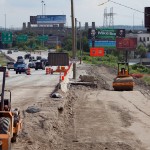
Reading Road, where Metro began operating articulated buses in 2010, is actually the region’s most heavily utilized bus corridor with Hamilton Avenue coming in second and Montgomery Road third. If Metro is to continue to build out its enhanced bus service, or full-on BRT operations, then Hamilton Avenue may very well be the next logical choice.

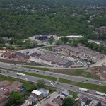
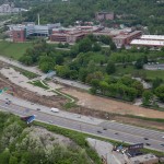
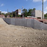
What helped the group’s proposal stand out from other presentations was its focus on the TOD in Northside. With a $13 million mixed-use project coming out of the ground on that site now, the group reflected on their own proposal.

While the team had collectively noted the large, clean open space as being one of the huge benefits of the site, it also made it particularly valuable in their opinion. As a result, several of the group members, while encouraged about the private investment, were also a bit underwhelmed by the Indianapolis-based Milhaus Developers’ architectural design.

Both Cassini and Orth mentioned that they would be interested in working full-time in the transportation industry someday, but for different reasons. When asked to briefly compare the wide variety of transportation projects current in the planning or development stages around the region, there was a uniform response that their excitement is for the Cincinnati Streetcar.

“Although the planned streetcar line does not expand sufficiently in our eyes, we believe it would be an incredible economic development booster for Cincinnati’s downtown and overall urban core,” Cassini explained. “The overall transportation efforts around Cincinnati will eventually pay off to form a comprehensive and more easily navigable system than today.”

The Niehoff Urban Studio is currently working with a new set of students on designs for the Wasson Corridor, which runs through several of Cincinnati’s eastern neighborhoods. This is another topic that was examined by one of the interdisciplinary groups of planners and engineers last year. UrbanCincy is once again partnering with the Niehoff Urban Studio and will be organizing a similar showcase and panel discussion in 2014.

Categories
Business Development News Politics Transportation

Nearly $4B in Work Progresses in Decade-Long Reconstruction of I-75 Through Hamilton County

In the early 2000s the Ohio Department of Transportation (ODOT) developed plans to widen and modernize Interstate 75 between the Ohio River and Interstate 275.

The $531.7 million Millcreek Expressway Project was slow to commence because of state and federal funding problems related to declining gasoline tax revenue. In 2009 a $7 million overpass connecting Monmouth Street and Central Parkway (Phase 2) received federal stimulus funding and, without ceremony, kicked off what will be a decade of continuous construction.

ODOT began reconstruction of I-75 in and around the Mitchell Avenue Interchange (Phase 1) in 2012. As of August 2013, all new retaining walls have been completed, the replacement Mitchell Avenue and Clifton Avenue overpasses are each about halfway completed, and final pavement has been poured on two access ramps.

The $53 million Phase 1 makes provisions for widening I-75 to four lanes in each direction, but the expressway will not actually be widened until Phase 5 rebuilds the I-74/75 interchange near Cincinnati State Technical & Community College.

Reconstruction of the Hopple Street Interchange (Phase 4), meanwhile, began earlier this year and as of August 2013 has taken on the chaotic character typical of urban expressway widenings. This project will radically remake the area, with Hopple Street passing for the first time above Central Parkway to meet W. Martin Luther King Drive at grade.

While most of the buildings near this interchange have been acquired and demolished, the nearby White Castle restaurant will remain unaffected as a “jug handle” is built around its south and eastern property lines.

Although the overall widening and modernization work was thought to have been delayed, the program received a boost thanks to the Ohio Turnpike.

On July 22, 2013 Governor John Kasich (R) announced that $350 million of work on remaining phases of the Millcreek Expressway reconstruction project will be funded by the sale of bonds to be repaid by future excess Ohio Turnpike tolls.

Additionally, Kasich pledged $100 million in Turnpike funds to build a new interchange connecting I-71 and E. Martin Luther King Drive.

When combined with the $463.5 million Thru The Valley project and $2.7 billion Brent Spence Bridge project, the reconstruction efforts along I-75 through Hamilton County totals some $3.7 billion in work and are expected to continue for the next decade.

Categories
Development News Transportation

Bike Lanes Included as Part of Cincinnati’s Annual Street Rehabilitation Program

The City of Cincinnati kicked off its annual street rehabilitation program last week. This year’s program will focus work on 113 segments of roadway in 22 neighborhoods.

According to officials within Cincinnati’s Department of Transportation & Engineering (DOTE), the 2013 Street Rehabilitation Program will include work that replaces layers of deteriorated paving with new surfacing, fixes problem areas where needed, and then install new curb work as necessary.

While the primary focus of the program is to rebuild streets and curbs, it also offers the city the opportunity to implement components of its city-wide bike plan.

Gilbert Avenue Green Bike Lane
Recently installed bike lane with green markings on Gilbert Avenue heading south into the central business district. Image provided.

“Installing bike lanes in conjunction with the street rehabilitation program really gives us the best bang for our buck,” explained Mel McVay, senior city planner with the DOTE. “In this case, city council has already allocated money for repaving the street, so the cost to the bike program of the additional stripe for the bike lane is really minimal.”

Through this program, five streets will see new bike facilities installed over the course of the coming months as streets are rebuilt through the summer and fall.

The biggest stretch of roadway that will see a new bike facility installed under this program will be Winton Road in Spring Grove Village, where a 1.8-mile stretch will see a shared path put in place when the roadway is rebuilt.

In the West End and Queensgate, buffered bike lanes will be installed along Bank Street from Linn Street to Dalton Avenue. Meanwhile, bike lanes will be installed on Dalton Avenue between Linn Street and Eighth Street, and on Western Avenue between Hopkins Street and Findlay Street.

McVay says that the “buffered” bike lanes will include a striped buffer area of three to four feet separating the travel lane and the bike lane. Within the city, both Beechmont Avenue and E. Mitchell Avenue currently include buffered bike lanes.

The final piece of bike-related work to be completed as part of the 2013 Street Rehabilitation Program will be a climbing lane on Woolper Avenue between Vine Street and Clifton Avenue.

Additional bike projects are in the works besides the five to be completed as part of this program, but the lack of funding and political will continues to serve as barriers to doing more.

With the improvements on-tap for the remainder of this year, the City of Cincinnati will be just less than halfway toward its goal of installing 104 miles of on-street bike facilities by 2015

The Bicycle Transportation Plan, which was adopted in June 2010, includes an ultimate goal of installing 454 miles of on-street and off-street bike facilities by 2025.

“At this point, working with the street rehabilitation program is really our best opportunity to significantly increase the number of bike lanes around the city,” McVay concluded.

Categories
Business News

Cincinnati’s Clark Montessori High School seen as national model of success

The nation’s first public Montessori high school is a feather in the cap of Cincinnati Public School District, and Clark Montessori is also one of the best schools in Ohio’s third largest public school district by student population. The school has now gone even further and been recognized on a national level as a model of educational success for other high schools across the United States.

This accomplishment has not gone unnoticed by President Obama who has established a goal of having the world’s highest proportion of college graduates by 2020. As part of President Obama’s education goals, he has established the Race to the Top High School Commencement Challenge which has been whittled down to six finalists including Cincinnati’s Clark Montessori.

“These six schools represent just a few of the stories of success that are happening all across the country,” said Secretary of Education Arne Duncan. “We won’t accomplish the President’s national goal of leading the world in college completion by 2020 without the hard work and dedication of the school leaders, teachers and students exemplified by our six final high schools.”

To get to this point, Clark Montessori seniors worked with representatives from the Get Schooled Foundation to produce a video illustrating the excellence at their school. The video is currently being used as a judge for those voting for a winner from the six finalists. Starting today, voting opened to the public and Clark Montessori’s application and video have been posted to the White House website. The winner of the competition will receive a visit from President Obama where he will deliver the spring commencement speech at the winning high school.

“The quality of the applications we received is a testament to the exciting work happening in schools throughout the country, and I look forward to visiting and speaking at the winning school later this spring,” said President Obama.

In 2009, Clark Montessori graduated 100% of its senior class. You can vote for Cincinnati’s Clark Montessori in the Race to the Top High School Commencement Challenge now until 11:59pm on Thursday, April 29.

Race to the Top Challenge announcement photograph provided.