The opening plenary of the 22nd annual Congress of the New Urbanism opened to an audience of over one thousand attendees. Keynote speaker Ken Greenberg, a Toronto based urban designer and author of the book Walking Home: the Life and Lessons of a City Builder addressed the audience. His message is that even though New Urbanists have accomplished much in the 22 years since the founding of CNU, there is much to do and that new urbanists need to change to meet the coming challenges of the 21st century.
Greenburg highlighted the many challenges facing urbanism today. The first is the oft cited decline in the use of automobiles. “We are seeing the back of cars,” he told the crowd. Total miles traveled is down and young people are delaying getting their drivers licenses at a significant rate compared to a generation earlier.
Second is the growing gap in income inequality between urban places and suburban places. In Toronto from 1970 to 2005 a majority of the city’s low-income population moved from the urban core to suburban communities while the core experiencing prosperity.
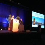
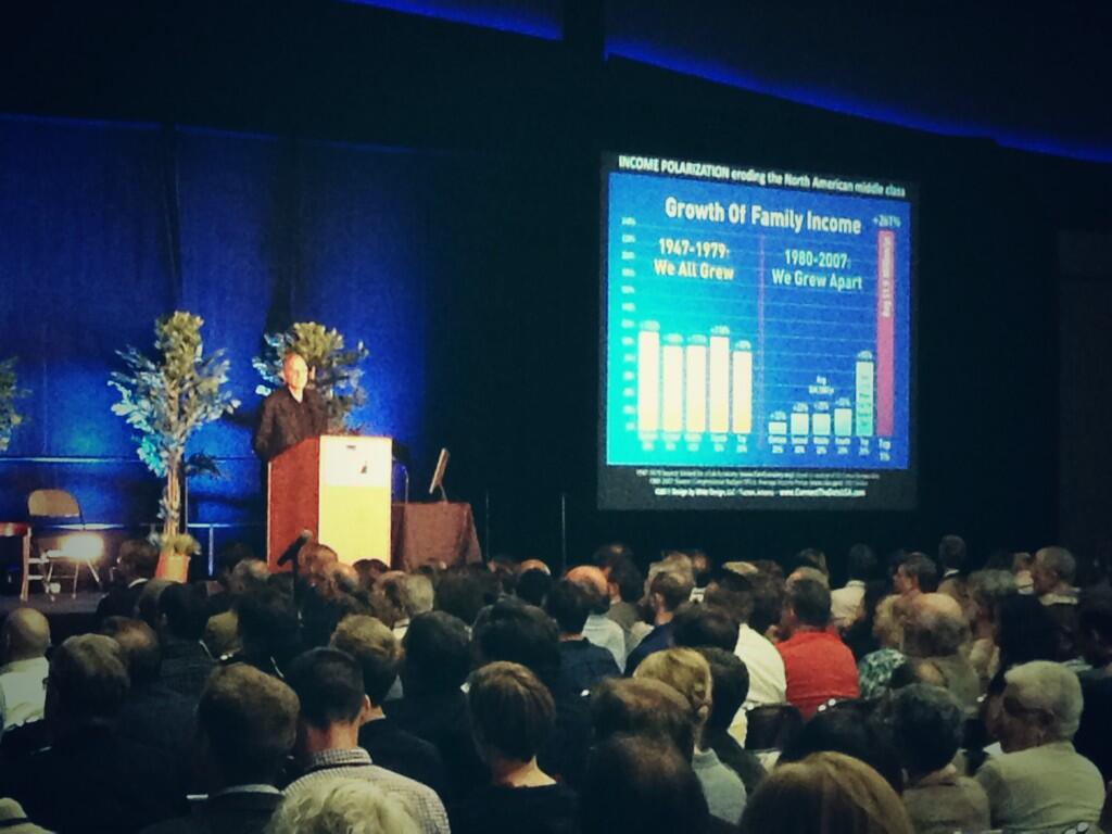 Ken Greenberg addresses the CNU. Photo by Paul Knight.
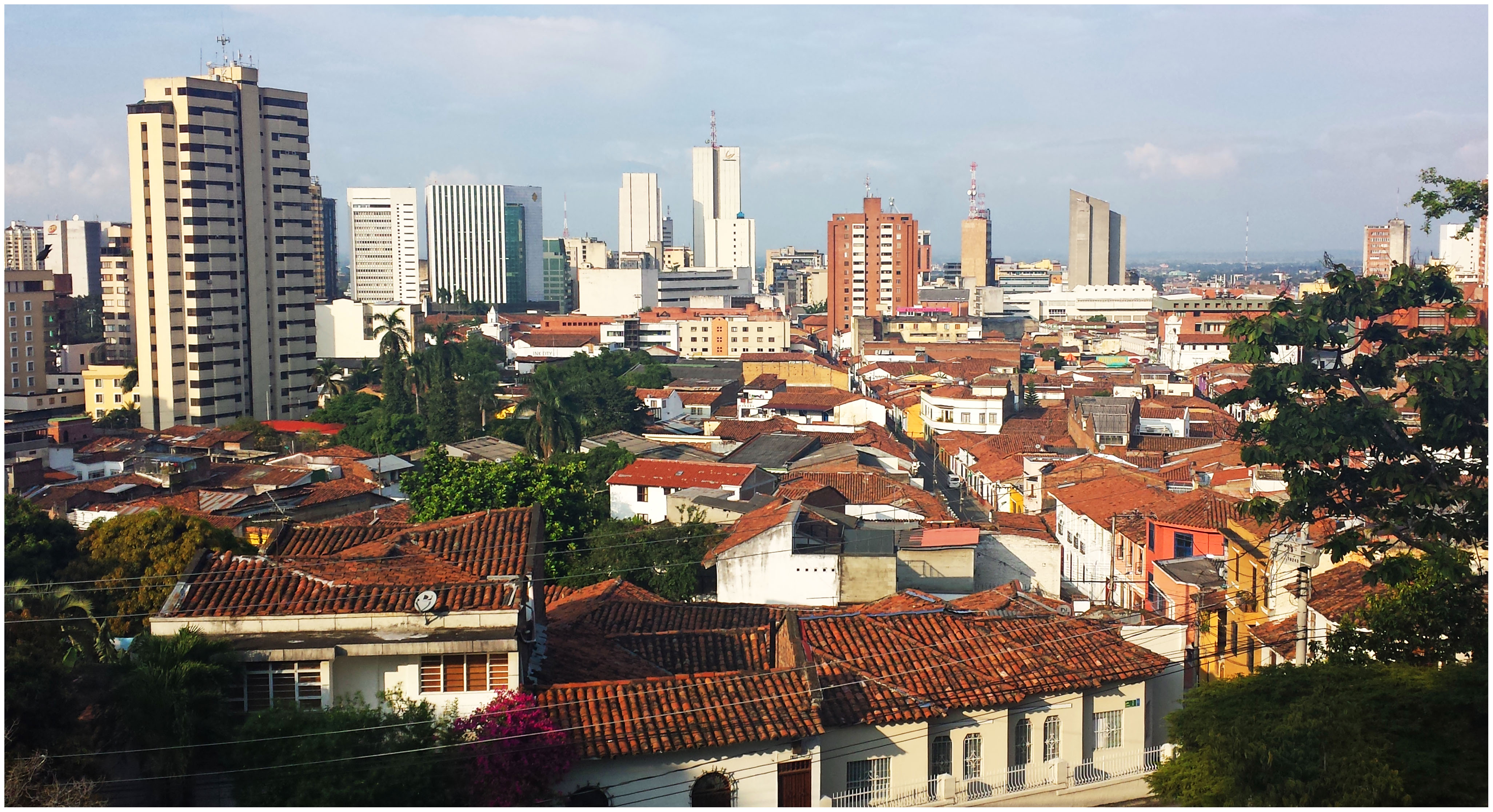
This divide is happening in cities across North America as urban cores have become desirable, and suburban areas experience decline. These trends were reported by UrbanCincy last month in Atlanta.
Greenberg goes on to say that this growing divide is also resulting in a political divide where urban places are not politically strong enough to demand for better urbanism because in most cases political power is still held in the suburbs and rule areas. As money grows scarce, money for urban areas dwindle. Urban areas are increasingly competing against the suburbs for scarce national resources. This is a familiar issue in many cities, including Cincinnati.
“All things public are under intense stress,” Greenberg argues, “just when we need them the most.”
Greenberg’s message to political leaders is, “There can be no national vision without a vision for cities.” Politicians should eliminate the “perverse subsidies” that continue to encourage costly, difficult to adapt and non-resilient infrastructure. He equates changing the direction of what he called the “sprawl industrial complex” to trying to turn an aircraft carrier: It will happen slowly.
The divide is allowing cities to both create good urbanism and bad urbanism because policy is so hard to change, good urbanism is often done by granting exceptions to policy.“We have plenty of examples of good urbanism. The challenge is to change that from being the exception to being the rule,” he told the crowd.
However the challenges remain tough. Greenberg urges that urbanists need to stop operating in silos and unite to build good policy. The threats of climate change and an increasingly urbanized world mean that cities are a necessary part of the future. He argues that we should embrace them and build them right.