UrbanCincy‘s most popular stories in June were clear signs of the progress being made in Cincinnati. While a modest number of new residents have been added over the past four years, the urban core and surrounding neighborhoods continue to grow with new residential developments.
Two of the stories (#2 and #5) are in sharp contrast: while Cincinnati received national praise for its form-based code efforts, Norwood missed an opportunity and ended up with an auto-oriented development in its core.
As you enjoy your Independence Day weekend, we invite you to catch up on our top stories from June that you may have missed:
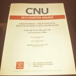
The City of Cincinnati’s Department of Planning & Buildings has been on a roll lately. This past weekend in Buffalo, at the Congress for the New Urbanism (CNU) national conference, the city won its third national award of the year for its new form-based code.
CNU’s grand prize for the Best Planning Tool or Process was actually a tie and thus jointly awarded to Cincinnati for its form-based code (FBC) and Station Center, a transit-oriented development in Union City, California.
As first reported by UrbanCincy, the Department of Planning & Buildings was honored with the Daniel Burnham Award for a Comprehensive Plan at the American Planning Association’s (APA) national conference in Atlanta. Additionally, in late 2013, the Department won the Ohio APA’s award for Comprehensive Planning for a Large Jurisdiction.
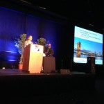
Elizabeth Plater-Zyberk introduces the award.
In 2012, city leaders were also awarded with the Frank F. Ferris II Community Planning Award from the Hamilton County Regional Planning Commission.
“It is an honor for us to have our code recognized by an organization that is on the cutting edge of best practices with regard to planning tools and good urbanism,” said Alex Peppers, senior city planner for Cincinnati. “We put a lot of work into developing a code that would fit our context and assets.”
What makes Cincinnati’s FBC unique is that it is a voluntary tool for neighborhoods who seek to preserve the character of their centers of activity and historic business districts. Thus far, it has been adopted in College Hill, Madisonville, Walnut Hills and Westwood.
Jurors noted that they were particularly impressed by the code’s extensive photo documentation and mapping analysis that calibrated the code’s application, and reinforced the unique characteristics of Cincinnati’s urban neighborhoods.
“The Cincinnati code is an excellent example of that advancement in the deployment of SmartCode, with particular attention paid to public process, neighborhood structure and graphic presentation,” explained Elizabeth Plater-Zyberk, one of CNU’s award jurors. “It reinforces Cincinnati’s historic urban patterns with guidance for appropriate infill and predictable redevelopment building.”
The final draft of Cincinnati’s form-based code is available online and can be accessed here.
Last week Cincinnati City Council approved the form-based code for Walnut Hills. The unanimous vote marks the third neighborhood to adopt this new regulatory tool for neighborhood redevelopment. Yet even after several years of development, many do not understand the basics about the new land use planning tool.
First of all, a form-based code is type of regulation that is developed by community stakeholders to guide future development or redevelopment of a community. Under a form-based code, new developments are typically configured to mesh with the character of the community’s vision.
Form-based codes get their name because it creates a type of regulation that typically focuses more on the form of the building and its relation to the public realm (i.e. the street) rather than the usage of the building. Development under the code occurs “by-right” and means if a new development complies with all the code’s provisions it can be built without having to go through the extensive and sometimes drawn-out process of traditional development.
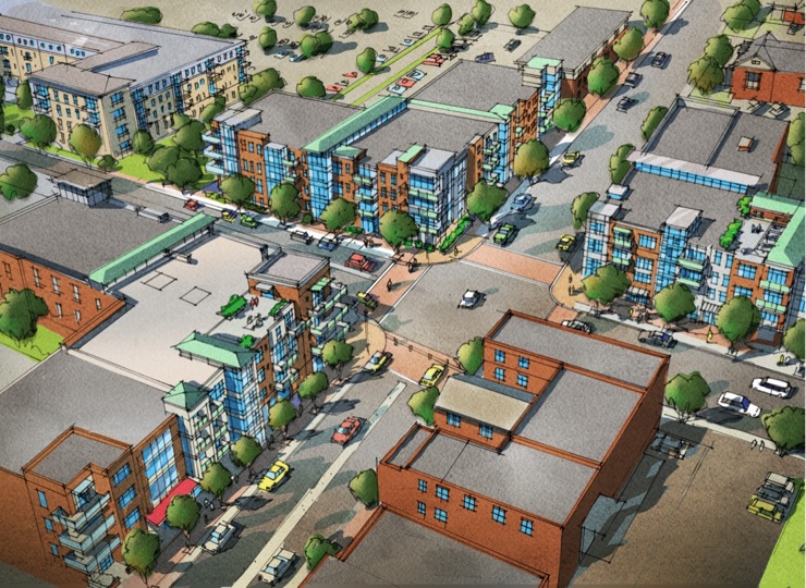
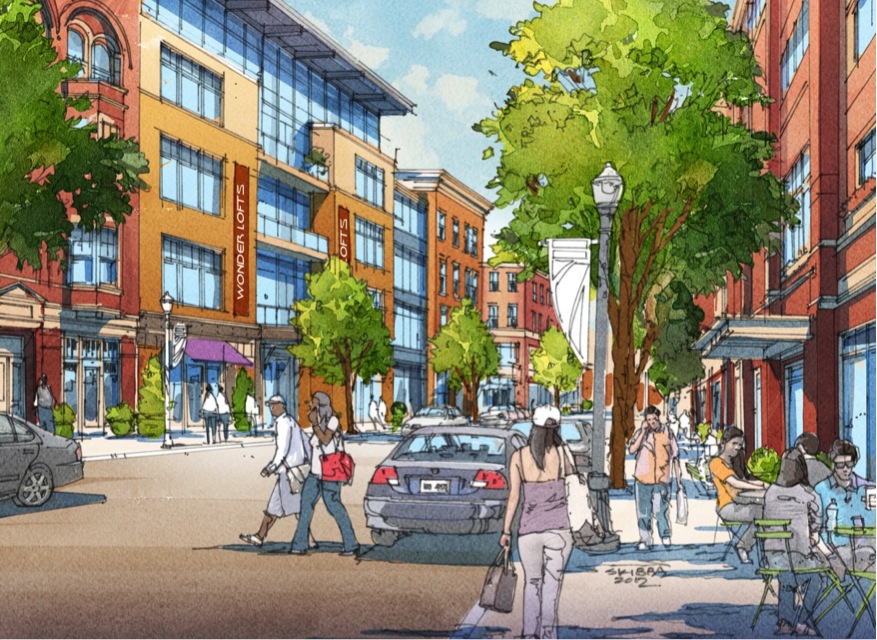
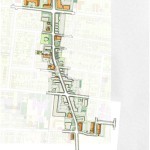
College Hill FBC Vision [Provided]
College Hill FBC Vision [Provided]
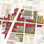
College Hill NBD Plan [Provided]
Walnut Hills
Walnut Hills
Walnut Hills
Madisonville
Westwood
Over 700 American cities have adopted some type of a form-based code, with Miami being the largest city to completely adopt this type of code. Near by they have been used in Nashville and Columbus to spark development in revitalizing areas of their inner cities.
Former Vice Mayor Roxanne Qualls (D) championed this movement locally and actually led groups of local officials and business leaders to Nashville to study the results of their form-based codes in 2008 and 2012.
While some cities have used these tools to encourage pedestrian friendly, mixed-use developments where none exist, older more established cities such as Cincinnati have opted to implement them in order to ensure that new development integrates seamlessly into the historic charm and character of the city.
Bellevue, KY became the first municipality in the Cincinnati region to adopt this type of regulation in 2011.
Cincinnati first began pursuing the idea of developing a form-based code in 2009. After receiving funding through the U.S. Department of Housing and Urban Development, city staff selected Opticos to lead in developing the new code. Dan Parolek, principal of Opticos, wrote the book on form-based codes, quite literally.
After conducting a city-wide charrette in May 2012, the City of Cincinnati worked with Opticos to refine the code and prepare it for adoption. The form-based code was adopted in early 2013. From there staff from the city’s planning department worked closely with neighborhoods to craft the regulating plan map.
Four neighborhoods were included in the initial implementation schedule: Madisonville, College Hill, Westwood and Walnut Hills. Both Madisonville and College Hill have fully adopted the code with Walnut Hills being the latest. Westwood appears to be the next neighborhood poised to adopt the code after winning unanimous support from the city’s Planning Commission in December 2013.
Last month the American Planning Association (APA) held its annual conference for planning professionals. The 2013 conference was held in Chicago and organizers made efforts to showcase planning efforts of The Second City.
The educational sessions at the conference are made up of presentations by planning officials across the country. A few of the sessions were hosted by Cincinnati Planning officials who highlighted some of Cincinnati’s recent planning successes.
Of the three sessions that featured Cincinnati city planners, one actually focused on the recently adopted PLAN Cincinnati comprehensive plan.
Cincinnati and Hamilton County received a national award from the APA for the implementation of the Central Riverfront Master Plan and The Banks. Photograph by Randy Simes for UrbanCincy.
The plan was approved by the city in October 2012 and is the first long-term comprehensive planning vision of the city since 1980. The seminar also highlighted Cincinnati’s rich planning heritage as the city carries the noteworthy distinction of drafting the first ever city-wide comprehensive plan in the 1925 Master Plan. That plan, along with the 1907 Kessler Parks Plan, envisioned a walkable cityscape with an extensive parks system.
However, after World War II, the city drafted the 1948 Comprehensive Plan which proposed several highways and urban renewal projects. The 1948 plan was successfully implemented but instead of the promised revitalization of the city, the highway system and slum clearance policies supported by the plan drove the city’s population to the suburbs.
“The highway was unfortunately a successful implementation,” explained Gregory Dale from McBride Dale Clarion Associates, “Sixty years later we’re still trying to repair the damage.”
Presenters also highlighted how the Cincinnati’s Planning Department overcame the problems of being dissolved in 2002 and reconstituted in 2007.
“In some ways I think maybe if we had not been eliminated as a departments, maybe there would not be that strength today, maybe it wouldn’t have woken people up to see the importance of planning,” recalled Cincinnati Senior Planner Katherine Keough-Jurs.
She went on to say that she noticed the involvement and passion of participants in the new comprehensive plan was a positive sign that citizens were concerned about the future direction of the city. The citizen participation in the new plan highlighted residents desire for creating and reinvigorating walkable neighborhoods and commercial centers.
“The plan is unapologetically urban,” Keough-Jurs told session attendees,”In many ways our new comprehensive plan returns to the vision of the 1925 plan.”
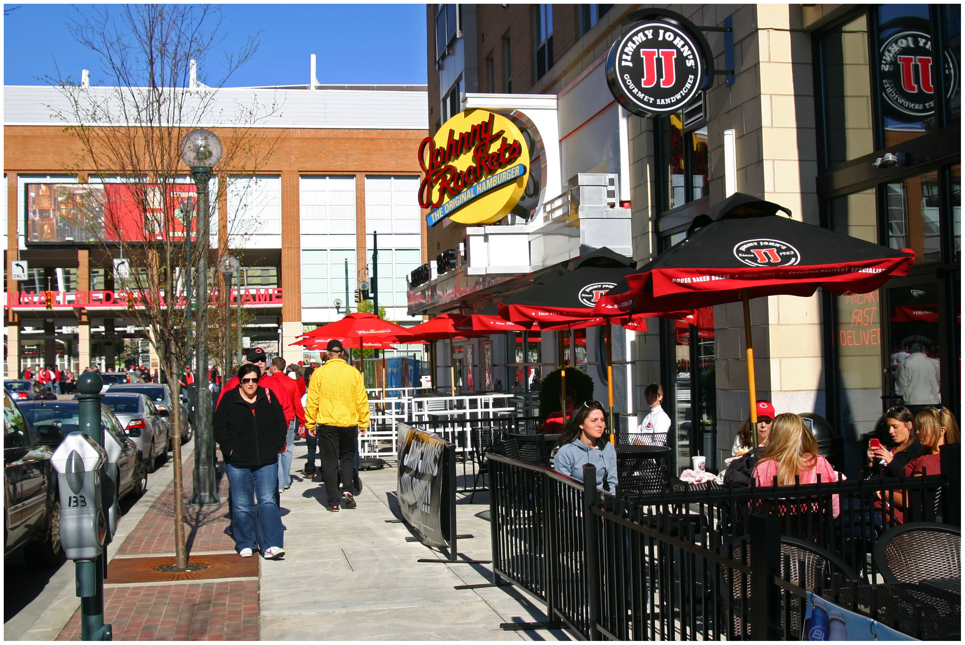
At the conference the City of Cincinnati and Hamilton County received an Excellence in Planning award from the APA for the implementation of the Central Riverfront Master Plan. That plan, which was first developed in the late 1990’s when the stadiums and Fort Washington Way were proposed for reconstruction envisioned a new mixed-use riverfront neighborhood called The Banks.
In 2011 the first phase of the mixed-use neighborhood opened to the public and the second phase is slated to begin construction this year.
The planning department’s most recent project, the adoption of the final draft of the form-based code is on City Council’s Livable Communities Committee Agenda today for their 1pm meeting.
The code was approved by the city’s Planning Commission on March 7. Once the code wins approval from the committee it will go on to the full council for a vote. The city’s planning department is looking to meet with the four demonstration neighborhoods – Walnut Hills, Westwood, Madisonville, College Hill – in the coming months to move forward with changes in the zoning map to implement the form-based code.
Many U.S. cities lack middle-density housing options, which were built less frequently after the 1940’s, when trends shifted toward auto-centric development and single-family home ownership. But more Millennials and Baby Boomers are now choosing smaller living spaces in walkable neighborhoods, and Cincinnati is well-positioned to take advantage of this trend. More from Better! Cities & Towns:
But Cincinnati has a tremendous opportunity. In these urban neighborhoods they already have what other cities want and are trying to build: A variety of urban housing types, including some of the best collection of Missing Middle Housing in the country; a network of neighborhood main streets ready to be revitalized; a rich, diverse, and well-built collection of historic architecture; and, easily accessible open space networks created by the topography weaving throughout these neighborhoods.
 UrbanCincy‘s most popular stories in June were clear signs of the progress being made in Cincinnati. While a modest number of new residents have been added over the past four years, the urban core and surrounding neighborhoods continue to grow with new residential developments.