Categories
Arts & Entertainment News

New Group Launched to Focus on Midwest Urbanism

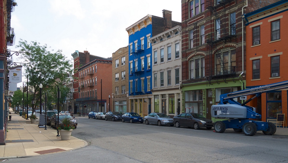
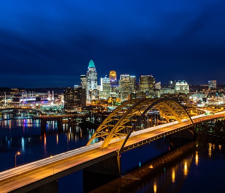
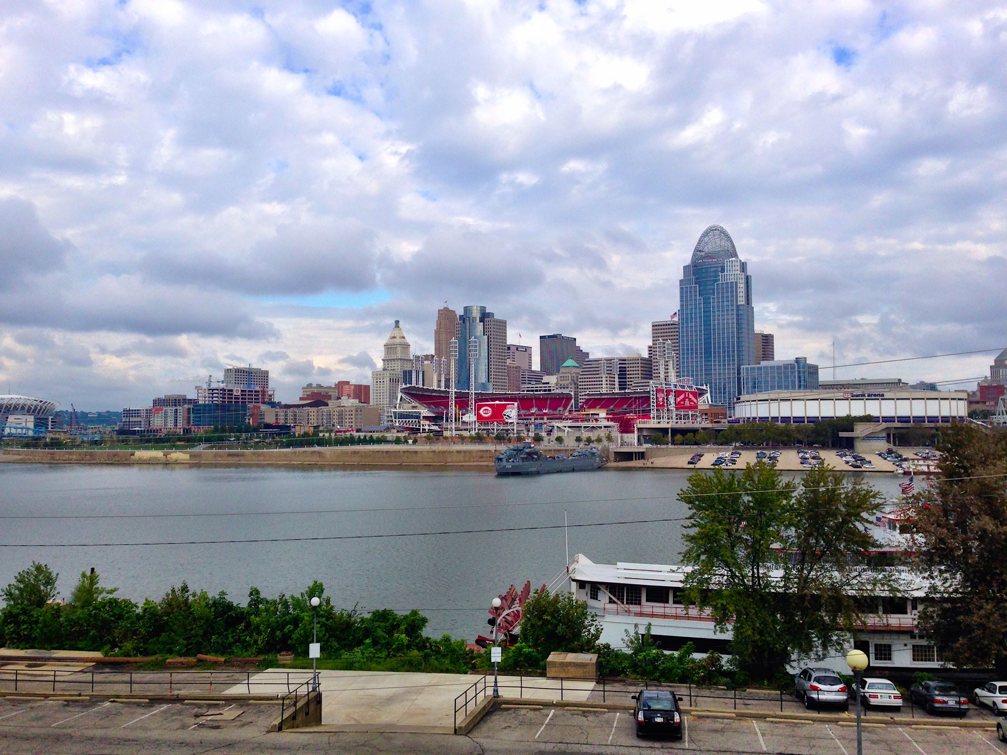
Great places are often referenced as places where people gather in urban centers around the world. In Cincinnati places like Fountain Square and Washington Park are often associated as the City’s front lawn or back yard. Streets are often referenced as great places such as Vine Street in Over-the-Rhine (OTR), Hyde Park Square or Madison Avenue in Covington. These places usually already exist, are reclaimed and sometimes created brand new.

Creating great places not only involves understanding what makes places great but also spreading awareness, education and building partnerships to do the hard work of revitalizing and celebrating the urban environment. That is the central mission of the proposed new Midwest chapter of the Congress for New Urbanism.

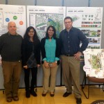
The group was engaged by the national Congress for New Urbanism (CNU) to create a regional chapter of the organization spanning from western Pennsylvania to central Indiana and from Lake Erie to Lexington Kentucky.CNU Midwest

They are having their first event which will be an introductory meeting and happy hour tomorrow May 17, at Graydon on Main in OTR.

CNU-Midwest is working to advance the issues of revitalizing urban neighborhoods in cities and towns across the region. The organization has three central goals including reclaiming public space for people, reactivating and reconnecting vibrant neighborhoods and championing urban development that is enduring, adaptable and human scaled.

“The ultimate goal is the reimagining and repopulation of our urban cores and inner ring neighborhoods,” said Chapter Organizing Committee Chairperson Joe Nickol told UrbanCincy, “Starting at the level of the street and continuing up through the neighborhood, town, city, and region, we encourage the development of great, equitable, urban places where all people can enjoy all aspects of daily life.”

By launching the CNU Midwest Chapter, the group aims to positively influence the dialogue around healthy urban policy and design within Midwestern cities.

This event which is from 5:30pm to 7:30pm is open to the public and will serve as an introduction to the group and networking opportunity for attendees. Anyone interested in participating can sign up here.

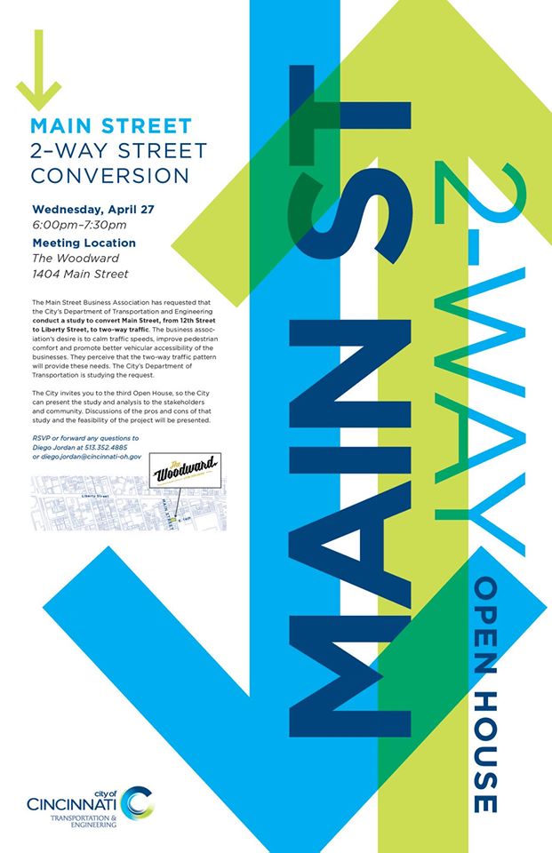
Graydon on Main is located at 1421 Main Street in OTR. There is a Cincy Red Bike station across the street and is easily accessible via Metro bus routes #’s 16,17,19,24.

The CNU is a national 501c3 organization which is dedicated to the cause of helping to create and advocate for vibrant and walkable cities, towns, and neighborhoods where people have diverse choices for how they live, work, shop, and get around. CNU’s mission is to help build those places.

UrbanCincy is a media partner for CNU Midwest and a promotional partner for CNU24, the organizations annual Congress which is being held next month in Detroit.

Categories
News Transportation

City Hosting Open House On Conversion of Main Street to Two-Way Travel

13063206_10153551968558597_3927391729015920711_oAlmost two years ago we reported that community groups in Over-the-Rhine requested City Hall to evaluate the possibility of converting Main Street from one-way to two-way travel.

Converted in the 1930’s, the street acts a couplet with Walnut Street directing automobile traffic northward on its two travel lanes to facilitate the speedy flow of traffic. However, as evidence of the detrimental effects of one-way streets has been documented, this practice is slowly falling out of favor.

Nearby, in 1999, the City of Cincinnati converted Vine Street in OTR to two-way and, despite the city’s Department of Transportation & Engineering finding the change caused seconds worth of delay for motorists, the street has flourished with pedestrian activity.

But as Vine Street flourished, Main Street stagnated.

Despite long time storefronts such as Iris Bookcafe and Mr. Pitifuls, the corridor, from Twelvth Street to Liberty Street, has had difficulty in attracting and retaining retail activity, despite the growing availability of storefronts that were previously galleries for Final Friday.

So the question many neighborhood leaders are now asking is whether similar treatment, as Vine Street, could work similar magic on Main Street.

On Wednesday, April 27, the City’s DOTE will host its third open house on the matter. City officials say that purpose of the open house is to present information that the City has gathered, and to also solicit public input regarding the request.

A flyer for the event states that, “The business association’s desire is to calm traffic speeds, improve pedestrian comfort and promote better vehicular accessibility of the businesses. They perceive that the two-way traffic pattern will provide these needs.”

The open house will take place at the Woodward Theater and run from 6pm to 7:30pm. The theater is very accessible by Metro routes #16, #17, #19 and #24, and is less than a block from the Main and Orchard Red Bike station.

Categories
Arts & Entertainment News

Record Crowd at Niehoff for Burnet Woods

Over one hundred and fifty people gathered at the Niehoff Urban Design Studios in Corryville to see and hear what University of Cincinnati design students had come up with on a reimagining of Burnet Woods. The Woods, which once included the land that is now the University’s west campus, is still one of the largest parks in the Cincinnati Park system and also the central focal point of three Cincinnati neighborhoods.

Both Masters and Bachlors degree students from the School of Planning at DAAP focused on the park as part of a year long planning effort coordinated by the City of Cincinnati and the university to envision a revitalized Burnet Woods.  A recent study conducted by the university polled 2,000 students. One of the biggest findings from the study is that 87% of the students polled do not think the Woods are safe. Another 7% did not know it existed at all.

As part of the event, UrbanCincy moderated a discussion panel with some of the regions’ top experts on park planning and programming. Chris Manning from Human Nature joined Ken Stapleton from Ken Stapleton & Associates and Christy Samad from Center City Development Corportation (3CDC). Panelists discussed ways to make the park appear safer including better lighting, more programming and activities and better gateway connections into the park.

The hour long panel focused on a range of topics regarding Burnet Woods including a student proposal for a green land bridge between the park and the school. The bridge proposal was praised by the panelist for its outside the box approach at incorporating an aspect of the park in a way that overcomes the physical separation caused by the wide and traffic heavy Martin Luther King Jr. Boulevard.

Audience members were also encouraged to participate and some voiced concerns about the park being underutilized. One participant asked about residential housing on the periphery as part of the park redevelopment noting that connecting residential to the park would be an opportunity for change.

UrbanCincy media specialist Travis Estell was on hand to take photographs and record the conversation which will appear later this week on The UrbanCincy Podcast.

The open house was a joint event between the Niehoff Urban Design Studio, the Urbanists and UrbanCincy. Stay tuned for our next joint event in the fall!

Categories
News Opinion Transportation

GUEST COMMENTARY: How Personal Finances Factor Into Home-Work Commute

The recent Brookings study looking at “job growth” and “jobs near the average resident” got me thinking again about how my past two home and workplace decisions have affected my personal finances. For those not familiar with the report, it’s mostly negative news:

Between 2000 and 2012, the number of jobs within the typical commute distance for residents in a major metro area fell by 7%. Of the nation’s 96 largest metro areas, in only 29—many in the South and West, including McAllen, Texas, Bakersfield, Calif., Raleigh, N.C., and Baton Rouge, La.—did the number of jobs within a typical commute distance for the average resident increase. Each of these 29 metro areas also experienced net job gains between 2000 and 2012.

As employment suburbanized, the number of jobs near both the typical city and suburban resident fell. Suburban residents saw the number of jobs within a typical commute distance drop by 7 percent, more than twice the decline experienced by the typical city resident (3%). In all, 32.7 million city residents lived in neighborhoods with declining proximity to jobs compared to 59.4 million suburban residents.

As poor and minority residents shifted toward suburbs in the 2000s, their proximity to jobs fell more than for non-poor and white residents. The number of jobs near the typical Hispanic (-17%) and black (-14%) resident in major metro areas declined much more steeply than for white (-6%) residents, a pattern repeated for the typical poor (-17%) versus non-poor (-6%) resident.

Residents of high-poverty and majority-minority neighborhoods experienced particularly pronounced declines in job proximity. Overall, 61% of high-poverty tracts (with poverty rates above 20%) and 55% of majority-minority neighborhoods experienced declines in job proximity between 2000 and 2012. A growing number of these tracts are in suburbs, where nearby jobs for the residents of these neighborhoods dropped at a much faster pace than for the typical suburban resident (17% and 16%, respectively, versus 7%).

For local and regional leaders working to grow their economies in ways that promote opportunity and upward mobility for all residents, these findings underscore the importance of understanding how regional economic and demographic trends intersect at the local level to shape access to employment opportunities, particularly for disadvantaged populations and neighborhoods. And they point to the need for more integrated and collaborative regional strategies around economic development, housing, transportation, and workforce decisions that take job proximity into account.

Now looking at this from a personal finance perspective, I previously lived and worked in Indianapolis where my one-way commute was roughly 16 miles. For this distance, I found over time that it cost me about $5 a day to get to work.

When I moved to Cincinnati for a new job, I first lived in Covington where I paid $1 to ride the Southbank Shuttle in the morning and usually walked home. After moving to Clifton, I still found that my now driving commute of less than 3 miles came to cost around $1 per day.

So the $5 per day Indianapolis commute cost me roughly $100 per month in gas, where the $1 per day Cincinnati commute cost me only $20. Now this may not seem like a huge amount or difference, but to most people, $80 would nearly be a full day’s work. What’s not reflected in this difference is the reduced frequency and cost related to vehicle maintenance, specifically oil and tire changes. With the greatly reduced frequency of need for these two items, the monthly savings I’ve found is closer to the full $100 amount, essentially a pay raise simply for living close to work.

Employees obviously can have little impact on where an employer chooses to locate, but they do still have control over where they live and as long as I am able, 3 miles is the maximum distance I will live from work. This distance is also interesting as I’ve found it to be the maximum distance where taking the bus is a reasonable time-cost choice, a huge benefit during the recent snowy winters, and it is also a distance where my non-work trips to downtown stay at what I think is a reasonable level for places I like to visit.

EDITORIAL NOTE: This guest commentary was authored by Eric Douglas, a native of Grand Rapids, MI who currently lives in Cincinnati’s Clifton neighborhood. Eric is a member of the Congress for New Urbanism and earned a Bachelors of Science from Michigan State University. Since that time he has worked for Planning, Community Development and Public Works departments in Cincinnati, Indianapolis and Detroit.

If you would like to have your thoughts published on UrbanCincy, simply contact us at editors@urbancincy.com.

Categories
Up To Speed

What if we calculated level of service for pedestrians?

What if we calculated level of service for pedestrians?.

Level of Service. Chances are, unless you’re in a field related to transportation planning or engineering, or are a total geek, you probably have not heard of this term before. LOS, however, has come to define how we design and build or roadways. Almost by its structure, LOS favors cars over the function or safety of any other mode of transportation. So what would happen if we took the same approach for other modes, like walking? More from Urban Kchoze:

The point of a traffic engineer in most studies is to keep level of service as low as possible to avoid delays for drivers, helping them drive faster and have to wait less for other traffic. Now then, some of you may ask “well, what about pedestrians and cyclists? How is level of service measured for them?” Well, the answer to that is that the default method says: F#!% ’em.

So let’s suppose that we calculate a level of service for pedestrians based on the same basis as for vehicles. Pedestrians can stop and accelerate to regular walking speed almost instantaneously and so we don’t have to calculate delay caused by lower than desired speeds during acceleration and deceleration. So delay is limited essentially only to the wait time before they can go ahead and cross (supposing car drivers respect pedestrian priority).

…crosswalks with medians and stop signs should be preferred to traffic lights for areas with a focus on pedestrians. It also means that the habit of channeling all the traffic on a few wide arterials, forcing each intersection to have multiple turn lanes and many through lanes, is absolutely terrible for pedestrians. A street grid with densely packed streets would do a better job of responding to all users, as it would dilute traffic on many streets, all these streets could be narrow, with 3 or 4 lanes only (1 per direction plus a shared left-turn lane or 2 per direction). Ideally, I believe there should not be any width of pavement greater than 12 meters (40 feet) in a city, any pavement wider than that should be broken in two with a median wide enough to use as a pedestrian refuge.