Categories
Development News Transportation

UC Planning, Engineering Students Propose Hamilton Avenue BRT Corridor

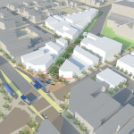
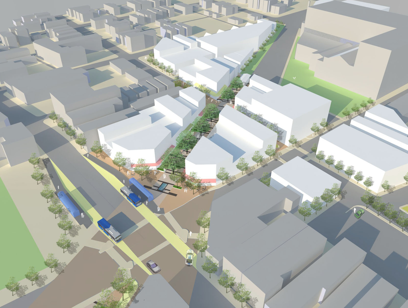
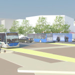
Hamilton Avenue BRT CorridorLast fall UrbanCincy partnered with the Niehoff Urban Studio on an event that highlighted the work of an interdisciplinary group of students. That semester engineering and planning students focused on urban mobility and looked at bikeways and bus rapid transit ideas within the city.

Each of the student groups presented their final research and findings to fellow academics and industry experts from around the region. We then gathered a group of transit and bike experts to engage in a panel discussion about the student’s proposals and about transportation in the region in general.

Throughout the course of the day, we asked members of the public who attended to vote on their favorite proposal. The winner was a bus rapid transit corridor along Hamilton Avenue that focused heavily on a transit-oriented development (TOD) in Northside where The Gantry is now being built.

The six-person team consisted of Tyler Kiefer, Benjamin Lafferty, Christopher Murphy, Michael Orth and Michael Walsh from the College of Engineering & Applied Science and Alexander Cassini from the College of Design, Architecture, Art & Planning.

First and foremost, the group said that their Hamilton BRT Line would most closely resemble Cleveland’s highly publicized HealthLine, which is the highest-rated BRT line, by far, in North America. The group also examined lines in Pittsburgh and Kansas City.

One of the main reasons for the comparisons to Cleveland is the similarities between the corridors. In both Cincinnati and Cleveland, the corridors connect neighborhoods under-served by transit to institutional services, while also providing greater mobility.

“The 2010 U.S. Census has shown how the population along Hamilton Avenue has less access to quick and reliable means of transportation when compared to the stats of Cincinnati and Ohio as a whole,” explained Masters of Community Planning student Alexander Cassini. “This lack of mobility directly affects citizens’ access to essential services and employment opportunities.”

Their research found that Metro’s #17 bus route, which most closely aligns with their proposed BRT corridor, currently averages weekday ridership of about 4,500 people. Furthermore, they found that approximately 17% of the households along the corridor have no car, 10% of the commuters identify as bus riders and there are 6,387 people living per square mile.

The proposed BRT corridor runs from Downtown to North College Hill, and the engineering and planning students saw this particular corridor as a major opportunity to spread investment and attention from the center city to additional neighborhoods that would take advantage of the BRT route’s 12 stations spaced out between one-half mile to three-fourths of a mile apart that would ensure faster and more efficient service. Each of the 12 station locations, Cassini notes, was selected due to its significant population and employment nearby.

“Northside and North College Hill are historic places in the city and present a great opportunity for Cincinnati to keep growing as a city,” noted civil engineering student Michael Orth.

Orth went on to say that while one of the positives of this corridor was the amount of people and businesses it could positively impact, the area’s congestion was also one of the team’s greatest challenges, stating, “There is very little room to implement a bus only lane throughout the corridor, which would be ideal for a BRT line.”

To help address this situation the group said that they envision a bus only lane, or a hybrid lane for buses and cars depending on the hour, through the congested portions of the route. Although not recommended, if a hybrid lane was determined to not be satisfactory Orth said that further study could be done to examine whether there would be enough benefit to remove on-street parking in order to provide for a consistent, dedicated bus only lane.

Other technology to help facilitate the quick movement of buses along the corridor would include arrival detection at traffic signals so that the lights can change in order to accommodate an approaching bus.

Existing Metro bus service, they said, would largely be redeployed to avoid redundancy, but some would remain since local buses stop more frequently – potentially creating a corridor of localized bus and express BRT service.

Hamilton Avenue BRT in Metro*Plus Context
One area where the Southwest Ohio Regional Transit Authority (SORTA) has already begun enhancing bus service is along Montgomery Road, which connects Downtown with the Kenwood area. That new Metro*Plus service, while not full BRT, is a step in the right direction according to the University of Cincinnati students, and has already seen ridership triple since its upgrade.

“Metro*Plus service is good but it is only the first step towards a true BRT system for the Cincinnati metropolitan area,” Cassini cautioned. “Metro*Plus service can be even more efficient, and effective if totally dedicated lanes and other additional features are added.”

Reading Road, where Metro began operating articulated buses in 2010, is actually the region’s most heavily utilized bus corridor with Hamilton Avenue coming in second and Montgomery Road third. If Metro is to continue to build out its enhanced bus service, or full-on BRT operations, then Hamilton Avenue may very well be the next logical choice.

What helped the group’s proposal stand out from other presentations was its focus on the TOD in Northside. With a $13 million mixed-use project coming out of the ground on that site now, the group reflected on their own proposal.

While the team had collectively noted the large, clean open space as being one of the huge benefits of the site, it also made it particularly valuable in their opinion. As a result, several of the group members, while encouraged about the private investment, were also a bit underwhelmed by the Indianapolis-based Milhaus Developers’ architectural design.

Both Cassini and Orth mentioned that they would be interested in working full-time in the transportation industry someday, but for different reasons. When asked to briefly compare the wide variety of transportation projects current in the planning or development stages around the region, there was a uniform response that their excitement is for the Cincinnati Streetcar.

“Although the planned streetcar line does not expand sufficiently in our eyes, we believe it would be an incredible economic development booster for Cincinnati’s downtown and overall urban core,” Cassini explained. “The overall transportation efforts around Cincinnati will eventually pay off to form a comprehensive and more easily navigable system than today.”

The Niehoff Urban Studio is currently working with a new set of students on designs for the Wasson Corridor, which runs through several of Cincinnati’s eastern neighborhoods. This is another topic that was examined by one of the interdisciplinary groups of planners and engineers last year. UrbanCincy is once again partnering with the Niehoff Urban Studio and will be organizing a similar showcase and panel discussion in 2014.
Categories
News Opinion Transportation

GUEST EDITORIAL: Those “streetcar” rails going down on Elm Street are actually light rail tracks

Cincinnati Light Rail Tracks
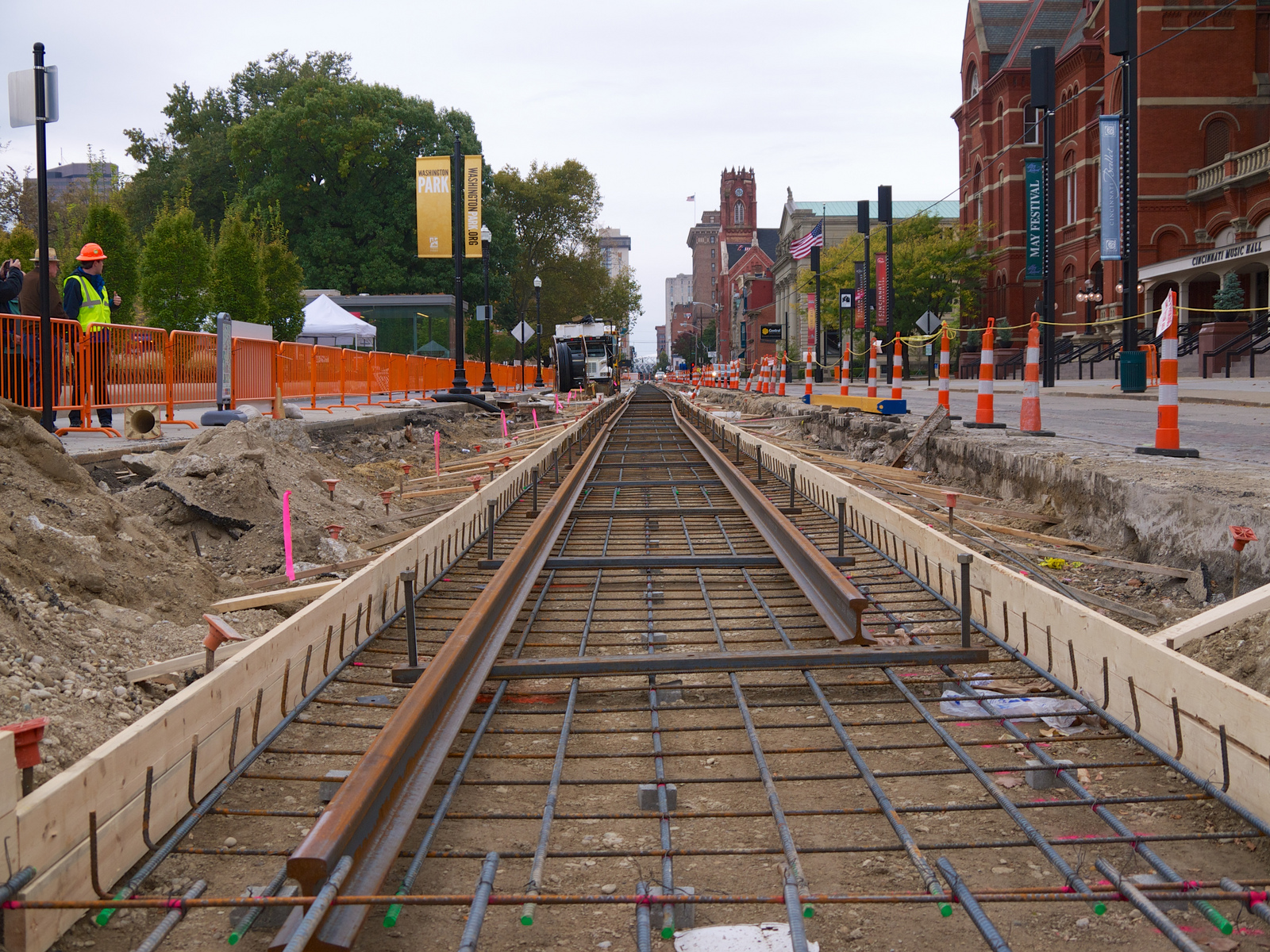
The first light rail tracks were installed on Elm Street for the Cincinnati Streetcar on October 15, 2013.

A couple of years ago, an engineer designing our streetcar mentioned Cincinnati wouldn’t be installing the type of streetcar rail used in Seattle and Portland because that Austrian-made product doesn’t comply with “Buy America” requirements. He said not to worry, that the type of rail Cincinnati would be using would open up more possibilities for the future. I never thought much more about it …

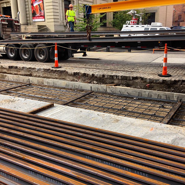
… until a couple of weeks ago when I studied the end-profile of the rail they’re installing on Elm Street right now. I could see it wasn’t the streetcar rail I’m used to seeing in the Pacific Northwest. It was common “T” rail used on all kinds of rail systems across the country. So I called my engineer friend and others associated with the project, and sure enough, Cincinnati is building tracks through Over-the-Rhine today that can someday host light rail trains.

There is a similar story in Tacoma, which wants light rail to Seattle someday. Tacoma built its “streetcar tracks” to light rail specs and is now running streetcars similar to ours until the time is ripe for light rail. You can look it up: Google “Tacoma Link Light Rail”. You’ll see pictures of streetcars, not full-on light rail trains.

What Cincinnati is building on Elm Street today could easily become the light rail spine through the heart of the region, slicing diagonally across the downtown basin with seven Fortune 500 corporations, two-thirds of our region’s cultural institutions and thousands of potential new homes within a few blocks of the line.

Prowling around the web site of our streetcar-manufacturer, CAF, I found this. This is the Cincinnati Streetcar, which CAF calls a light rail vehicle (LRV). Cincinnati is buying five of these three-section Urbos vehicles shown here, but CAF makes five- and seven-section Urbos too. Even nine-section ones if you need to move enough passengers to fill a 747.

I asked around some more, and it turns out the engineers have also designed the radii of the curved track to accommodate longer trains. In order to run light rail on our streetcar line someday, we’d have to boost electrical power, change the signal wiring, and lengthen the platforms where the trains would stop. But those are small potatoes in the big picture.

You’ve heard it before, many times: “The streetcar doesn’t go anywhere,” or “I’m not crazy about the streetcar, what I really want is light rail.”

Cincinnati Light Rail Tracks on Elm Street
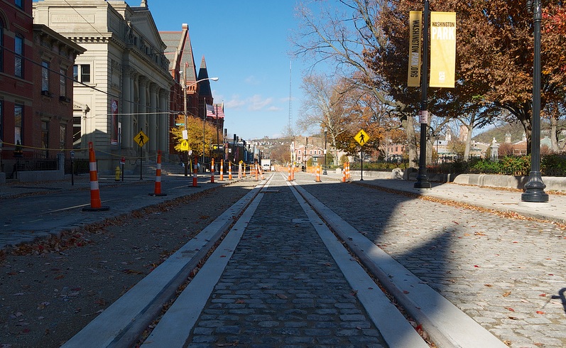
After new light rail tracks were installed in front of Music Hall, refurbished cobblestones were restored along Elm Street. Photograph by Travis Estell for UrbanCincy.

It doesn’t have to be this way forever. Using the Cincinnati Streetcar tracks now under construction, we could have light rail in the I-75 Corridor sooner rather than later. Cincinnatians who believe that rail is “just about downtown” need to look at this from 30,000 feet.

Here’s why. Our streetcars will travel north along Elm until they pass Findlay Market where they will turn east to head up the hill to UC. Longer, faster light rail trains can follow the same path on Elm, but turn west north of Findlay, head over to Central Parkway and then to I-75 where a rail corridor extending throughout Hamilton County is being preserved as part of the highway work now underway. That was a requirement of the I-75 Corridor Study, which found that a newly widened I-75 would attract many more cars and trucks by induced demand and that only the construction of light rail in the corridor would keep future freeway congestion in check.

The I-75 light rail might not always run alongside the highway; it probably can’t in some places. And anyway, the rail line probably wants to leave the highway here and there in order to penetrate neighborhoods and business districts where people live and work.

So our new mayor and city council can choose to cancel the Cincinnati Streetcar at great financial and reputational costs to our city. Or they can move forward and complete the project, allow Cincinnatians to become accustomed to using rail transit, and — when we’re ready to resume the community conversation on regional light rail — have the keystone building block in place. This is an important frame for the decision our city is about to make.

It’s a big decision, a defining moment for Greater Cincinnati. If we turn away from the expanded transportation choices in front of us now, we probably won’t have this chance again for a long time.

John Schneider is a local businessman who has long been an advocate for rail transit. In 2002 he helped lead the MetroMoves campaign and was instrumental in both Issue 9 and Issue 48 victories. He has personally led hundreds of Cincinnatians on tour of Portland’s streetcar and light rail system, and the development it has caused. Schneider is also the chairman of the Alliance for Regional Transit and sits on Cincinnati’s Planning Commission. If you would like to submit a guest editorial to UrbanCincy you can do so by contacting our editorial team at editors@urbancincy.com.

Categories
Up To Speed

$1.6B partnership deal inked to replace Goethals Bridge

$1.6B partnership deal inked to replace Goethals Bridge.

Yet another multi-billion dollar bridge replacement project is advancing in the New York metropolitan area. A couple of weeks ago we shared how the Tappan Zee Bridge replacement project got a $1.6 billion federal loan. Now a $1.6 billion public-private partnership deal has been signed to fund, build and replace the Goethals Bridge, which like the Brent Spence Bridge, is consider “functionally obsolete.” Unlike the Brent Spence Bridge project, however, is the fact that the new Goethals Bridge will reserve space for future bus or light rail service. More from Staten Island Advance:

This public-private partnership was struck between the Port Authority of New York and New Jersey and NYNJ Link Partnership, a venture comprised of private companies Macquarie Infrastructure and Real Assets Inc., Kiewit Development and lead contractors Kiewit Infrastructure, Weeks Marine and Massman Construction…Through this partnership, the developers are responsible for designing, building, financing and maintaining the new bridge and demolishing the old one.

Categories
Up To Speed

Brent Spence Bridge on the outside looking in as Tappan Zee Bridge replacement gets $1.6B DOT loan

Brent Spence Bridge on the outside looking in as Tappan Zee Bridge replacement gets $1.6B DOT loan.

Originally built during the Korean War, the Tappan Zee Bridge is in need of replacement. The structure is old and requires a number of upgrades – much like Cincinnati’s Brent Spence Bridge. The State of New York was in need of financial assistance to get the $4 billion project moving (sound familiar?). That assistance came last week when the Federal Government announced a $1.6 billion loan for the project, thus ensuring its completion within five years. More from Engineering News Record:

New York Gov. Andrew Cuomo (D) made the announcement Oct. 31, calling it “the largest loan the U.S. Dept. of Transportation has ever made for any project like this.”

The loan was made through the DOT’s Transportation Infrastructure Finance and Innovation Act (TIFIA) program. Established in 1998, TIFIA has ramped up its lending recently, spurred by last year’s Moving Ahead for Progress in the 21st Century Act (MAP-21). The DOT also began taking steps earlier this year to speed up the TIFIA loan approval process.

Categories
Business Development News Transportation

PHOTOS: All Aboard Ohio Visits Cincinnati to View Streetcar Construction Progress

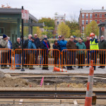
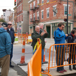
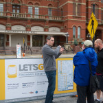
On October 26, rail transportation advocacy group All Aboard Ohio hosted their fall meeting in Cincinnati. Members came from across the state, and other states including West Virginia and Iowa, to see how the construction of the Cincinnati Streetcar is progressing.

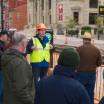
Members were able to ask questions of Paul Grether, Metro’s Director of Rail Operations, who was leading the walking tour. Grether answered many technical questions relating to the streetcar’s rail gauge, power system and the light rail vehicles. He also addressed many of the urban legends that still surround the project — yes, our streetcars will be capable of climbing the steep Vine Street hill.

Streetcar advocate John Schneider also gave a presentation on the history of the project and the many political hurdles supporters have had to overcome. He explained one of his most effective methods of promoting the project: taking skeptics to visit one of the modern streetcar systems currently operating in the United States.

Schneider went on to say that a number of local leaders, including former Hamilton County Sheriff Simon Leis (R), became supporters of the project after seeing the benefits of modern streetcars in person.

Late October was a good time for the group to visit, as construction was highly visible around Over-the-Rhine.

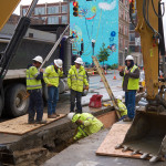
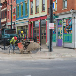
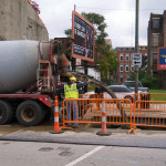
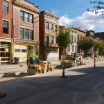
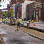
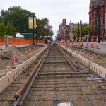
On Elm Street, various phases of work stretched approximately one half mile, from 12th Street to Elder Street. The first rail was installed near Washington Park on October 16, and crews started pouring concrete and shaping the track bed on October 25. Utility work is also taking place on Race and 12th streets in advance of track work.

The project is on schedule, and track work on Elm Street (from 12th Street to Henry Street) is expected to be completed by January 9, 2014.

All photos by Travis Estell for UrbanCincy. Click any photo to view larger size.