The changes that have been taking place in Cincinnati over the past decade have been felt and noticed by many. There is a palpable buzz surrounding the Queen City these days.
The city’s central riverfront has almost entirely been transformed following billions of dollars worth of public and private investment, Over-the-Rhine’s renaissance continues to be touted nation-wide as one to be admired, and thousands of more residential units are being developed in the center city as we speak.
For those who live outside the city and may not have been back recently, or for those out-of-towners who have not yet been able to make a visit, it could be difficult to even recognize some places now.
Thanks to a new feature from Google Street View, we can now go back in time and compare Google’s most current Street View images with those they have taken since 2007 when they started the service.
Here’s a look at some of Cincinnati’s more visually impressive transformations, but it is certainly not all encompassing. Simply drag the arrow bar back-and-forth to compare the old and new images.
Clifton Heights at W. McMillan Avenue and Ohio Avenue:


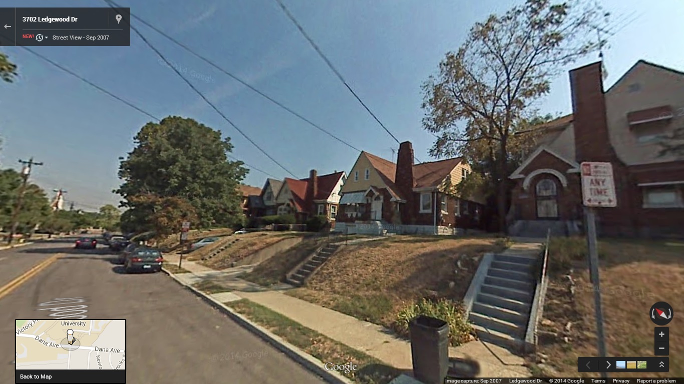
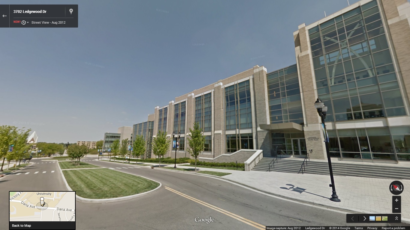
Evanston at Dana Avenue and St. Francis Way (formerly Woodburn Avenue):
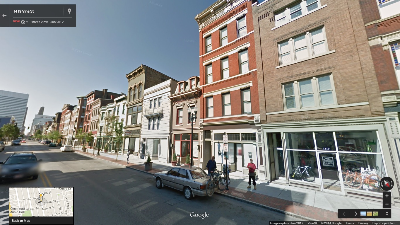
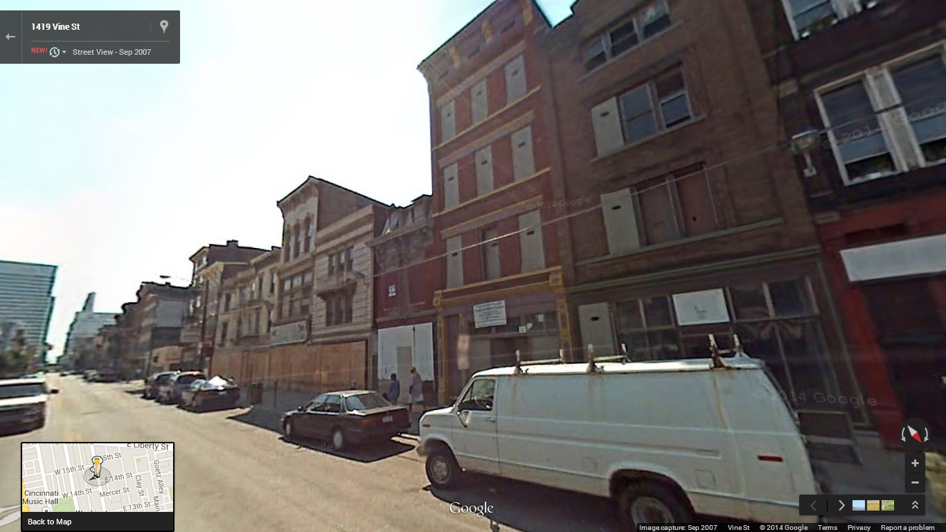
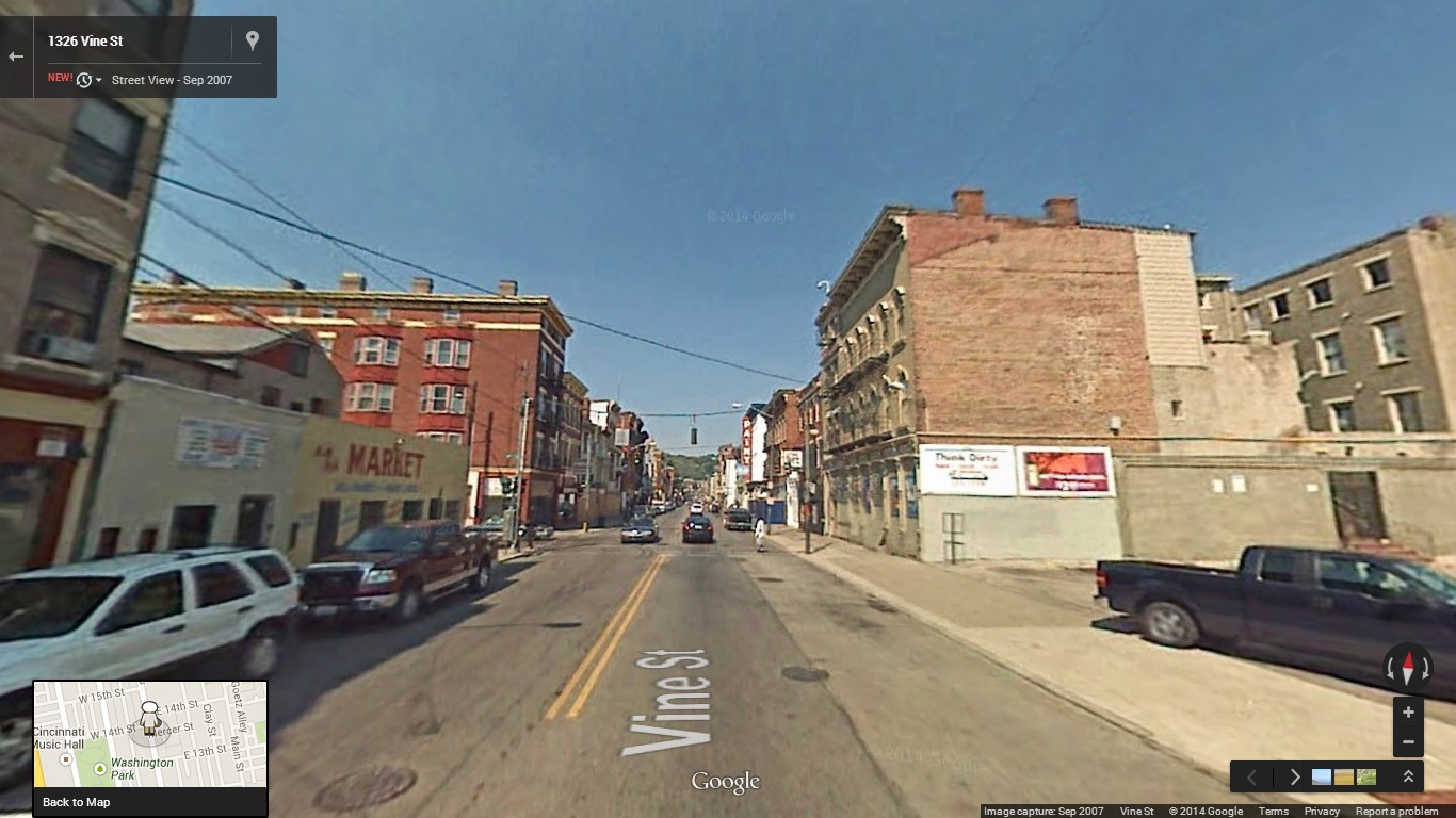
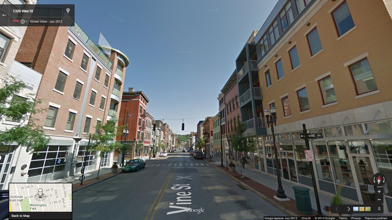
Over-the-Rhine looking south on Vine Street near Fifteenth Street:

Over-the-Rhine looking north on Vine Street near Fourteenth Street:
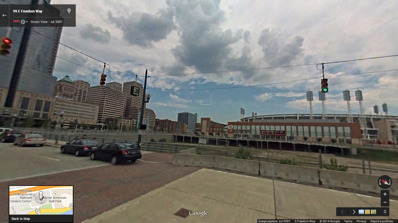
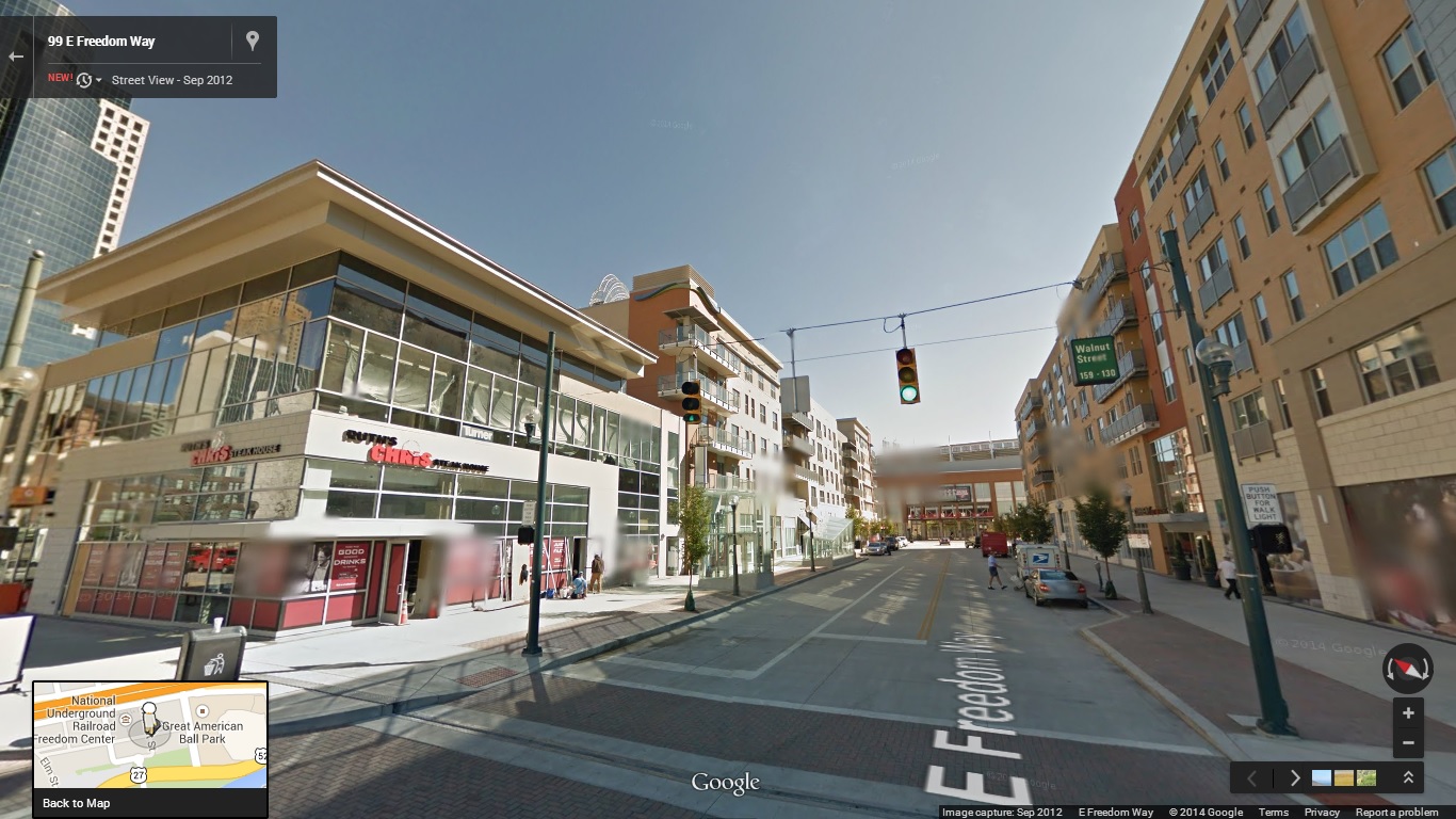
The Banks at Freedom Way and Walnut Street:
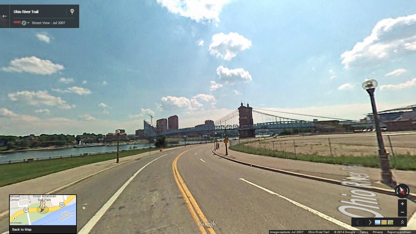
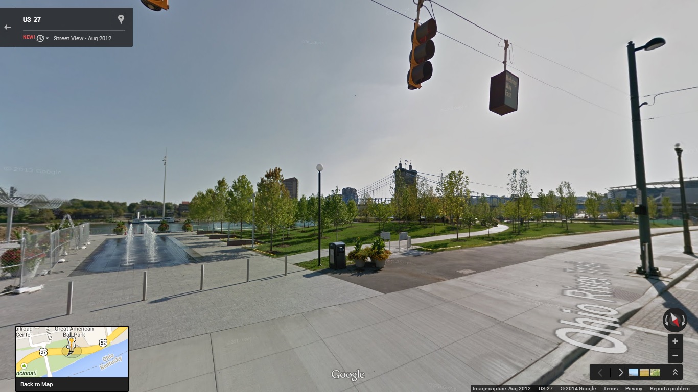
Smale Riverfront Park along Mehring Way at Main Street:
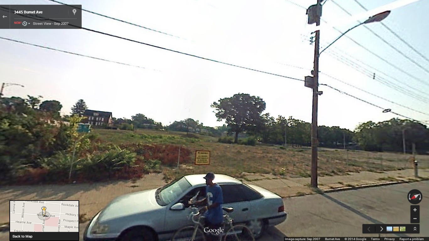
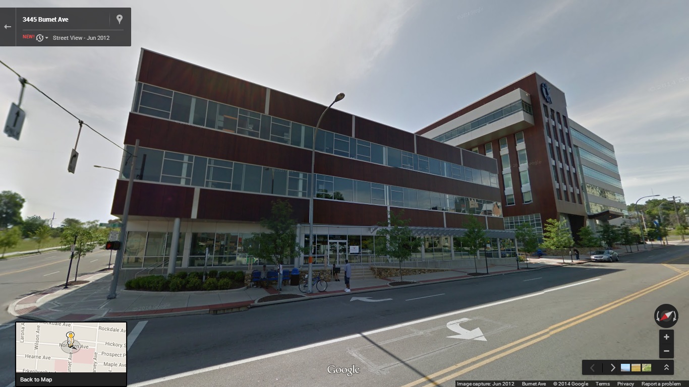
Avondale on Burnet Avenue near Northern Avenue:
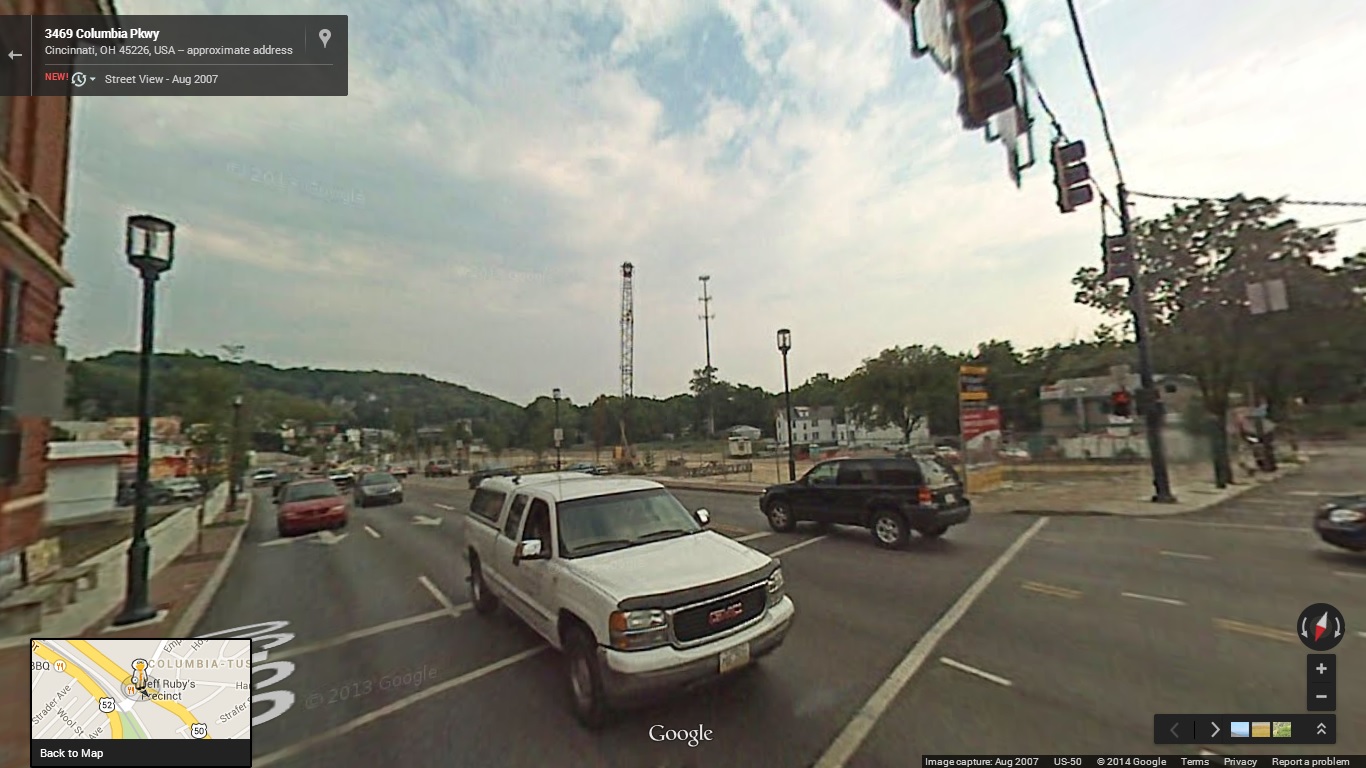
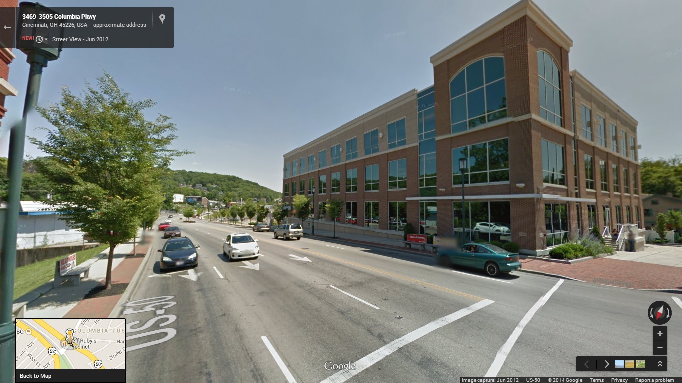
Columbia Tusculum at Delta Avenue and Columbia Parkway:
College Hill on Hamilton Avenue near Elkton Place:


If you are having difficultly viewing both the before and after images, try to just drag the arrow bar back-and-forth instead of clicking on the images in an attempt to reveal the after.
And for what it’s worth, we totally stole the idea for this post from The Washington Post. What other areas did we miss? Let us know in the comment section.