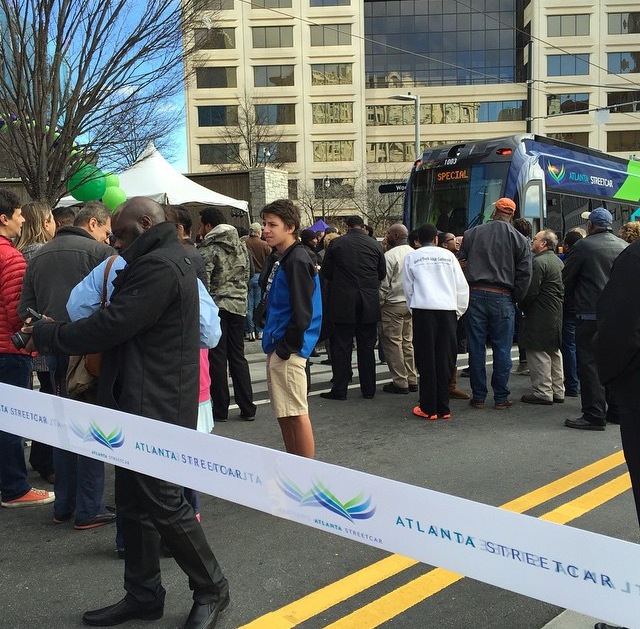
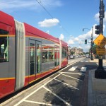
Atlanta’s initial modern streetcar line went into service yesterday. It marks the first time for streetcar operations in Georgia’s capital city since service was phased out in 1949.
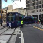
The $90 million project, which relied upon $47 million from TIGER II funding, has a similar system design as Cincinnati’s system, but utilizes different rolling stock. In Atlanta, transit officials opted to award a $17.2 million contract for four vehicles to Siemens. Like Cincinnati, however, the vehicles are capable of expanded capacity more akin to light rail trains in use around North America.
Inaugural Run [Paige Malott]
Ribbon Cutting Ceremony [Paige Malott]
Opening Ceremony [Paige Malott]
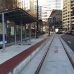
ADA Station Accessibility [Paige Malott]
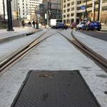
Streetcar Tracks [Paige Malott]
Siemens S70 Interior [Paige Malott]
Opening Ceremony [Paige Malott]
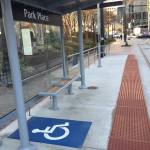
Park Place Station [Paige Malott]
Cincinnati Representing in Atlanta [Paige Malott]
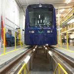
Maintenance Facility [Paige Malott]
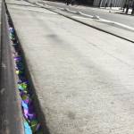
Celebratory Confetti in Tracks [Paige Malott]
Ridership at Capacity [Paige Malott]
Streetcar at SkyView Atlanta [Paige Malott]
The reason for such planning is that this streetcar segment is seen as the first part of a much larger network that folds into the comprehensive Atlanta BeltLine project. As part of that, planners anticipate building a 63-mile network of modern streetcars throughout the heart of the 448,000-person city.
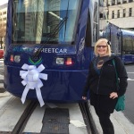
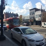
City leaders, civic boosters and transit officials gathered in downtown Atlanta yesterday to celebrate the occasion. Paige Malott, an UrbanCincy contributor, was there to capture the scene and reported capacity crowds on the initial trains in operation.
“First ride inside the Atlanta Streetcar, and it is standing room only,” Malott wrote. “It is at capacity with 150 riders; super smooth ride!”
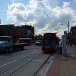
The 2.7-mile route is notably smaller than Cincinnati’s initial $148 million segment, which is 3.6 miles and features 17 stations, and is planned to average 15-minute headways.
Starting at Centennial Olympic Park and ending in the King Historic District, the initial features 12 stations and is envisioned to connect people to a slew of attractions spread throughout the center city, while also spurring redevelopment on the southeast edge of the central business district.
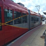
Like Cincinnati, the City of Atlanta is the owner of the project while MARTA oversees its operations. The Atlanta Downtown Improvement District is also a part-owner.
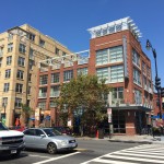
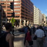
Washington D.C. has, perhaps, the nation’s most prosperous and booming urban economy. It is a city that has also become defined by its highly educated, young workforce.
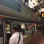
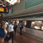
Over the past decade or so, the nation’s capital has also been transforming its transport network in a way to make it more multi-modal and improve mobility.
One of the most striking things upon arriving in Washington D.C. is the sheer number of bike lanes. And not just bike lanes, but protected bike lanes. As many cities have begun noticing in recent years, striped bike lanes next to moving traffic are not enough, and that protected bike lanes that separate cyclists from moving traffic with bollards or on-street parking are far superior.
DuPont Circle
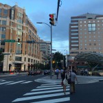
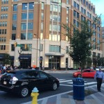
Washington D.C.
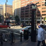
DC Metro
DC Metro
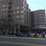
DC Residential
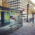
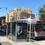
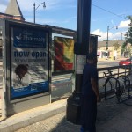
DC Bus Stop
U Street Metro Bus Stop
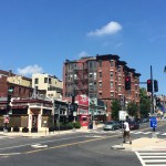
Columbia Heights
Clarendon Metro Station
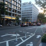
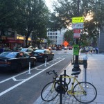
DC Bike Lane
DC Bike Lane
DC Bike Box
DC Bike Box
Articulated Bus on H Street
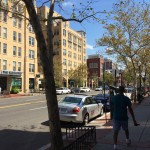
U Street
DuPont Circle
Washington D.C.
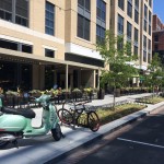
Vespa Parking
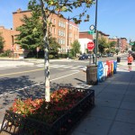
U Street Infill
T Street
DC Protected Bike Lane
DC Protected Bike Lane
Farragut North Metro Station
Farragut North Metro Station
As a result, you see many of the newer bike lanes in Washington D.C. receiving this treatment, and many of the older lanes being transitioned over, as possible, to protected facilities. To this end, it should come as no surprise that the city has one of the nation’s highest percentages of people commuting by bike.
In addition to that, Washington D.C. launched North America’s first bikeshare system in 2008 when SmartBike DC opened with 120 bikes at 10 stations. After some initial struggles, a new system called Capital Bikeshare was launched in September 2010 and currently boasts more than 2,500 bikes at more than 300 stations.
This new system extends beyond the District of Columbia into three additional nearby jurisdictions and stands as one of three biggest bikeshare systems in the United States along with New York City’s CitiBike and Chicago’s Divvy.
I used Capital Bikeshare to make an approximate two-mile trip from near the U Street Metro Station to Washington Union Station. The journey was a breeze and preferable, to me at least, to using a taxi or the city’s well-functioning transit system.
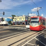
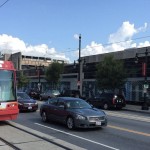
Upon arriving at Union Station I met a friend to check out one of Washington D.C.’s other marque transportation projects at this time. The H Street/Benning Road modern streetcar line terminates here and extends approximately 2.4 miles to the east, and is part of a larger 37-mile streetcar network that will include five lines in total.
DC Streetcar Stop
H Street/Benning Road Streetcar Route
H Street/Benning Road Streetcar Route
H Street/Benning Road Streetcar Route
H Street/Benning Road Streetcar Route
H Street/Benning Road Streetcar Route
H Street/Benning Road Streetcar Route
H Street/Benning Road Streetcar Route
H Street/Benning Road Streetcar Route
H Street/Benning Road Streetcar Route
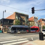
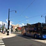
Megabus on H Street
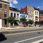
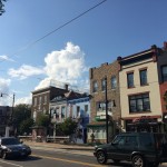
H Street
H Street Infill
H Street
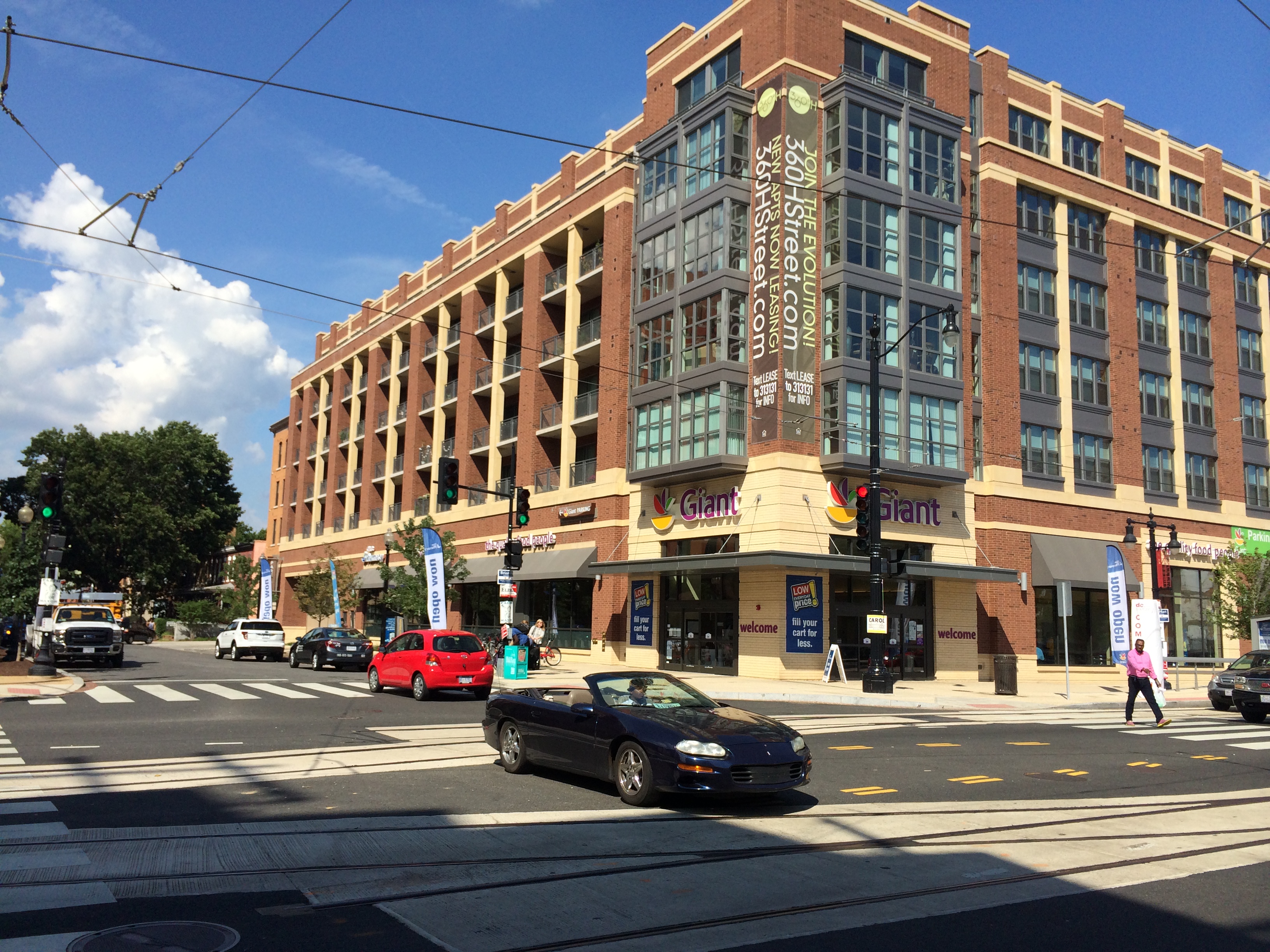
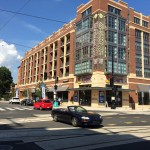
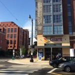
Giant Grocery on DC Streetcar Line
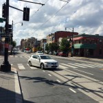
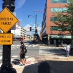
The $137 million starter line is in the final stages of construction, with train vehicles and their drivers currently being tested and trained along its route. Project officials expect it to open to riders in early 2015.
Walking the route was not all that pleasant thanks to the hot temperatures and only brief areas of shade along the busy street, which serves a bevy of transit operations including Megabus, Greyhound and Bolt intercity buses, articulated city buses and now the streetcar. Fortunately a mid-afternoon stop at a local Mexican eatery, with plenty of guacamole to go around, made the overheated outing more tolerable.
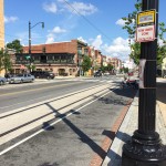
While H Street is a largely a hit-or-miss commercial corridor, its immediately surrounding residential streets are expectedly charming and offer a good foundation from which to build. Some development has already begun to spring up along the line, including a slew of residential projects and a 41,000-square-foot grocery store. There are also signs of renewed interest in many existing buildings that have new restaurants and shops opening up within them.
Of course not everything that is happening in Washington D.C. is related to infrastructure or transportation enhancements. There is, overall, just an extraordinary amount of new construction taking place and a far-reaching sense of vitality. One cannot help but think that there is at least some connection between these policy decisions and investments, and vibrancy on the ground.
EDITORIAL NOTE: All 39 photos were taken by Randy Simes for UrbanCincy between Wednesday, September 3 and Friday, September 5.