Categories
Business Development News

Google updates aerial imagery of Cincinnati region

Google has updated the aerial imagery for the Cincinnati region, and the visuals highlight the changing urban landscape in the Queen City. Take a visual tour of twenty selected sites around the city that highlight this change and the new high-quality imagery.

Google has updated its aerial imagery for several major cities throughout the United States including Portland, Washington, D.C., and Cincinnati.  The new imagery appears to have been taken over the summer.  Observers in the nation’s capital have been able to narrow it down to as precise as Sunday, August 29 between 1:00pm and 1:35pm.

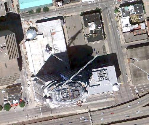
Like many other cities around the country, the new aerial imagery for Cincinnati illustrates much of what has changed over recent years.  New construction projects are visibly taking place while others have been completed or are nearing completion in their aerials.  In addition to capturing the changing urban landscape in Cincinnati, the new imagery is also much crisper than previous versions.

Below is a sampling of 20 sites around the city that illustrate the aforementioned changes.  Enjoy!

By Randy A. Simes

Randy is an award-winning urban planner who founded UrbanCincy in May 2007. He grew up on Cincinnati’s west side in Covedale, and graduated from the University of Cincinnati’s nationally acclaimed School of Planning in June 2009. In addition to maintaining ownership and serving as the managing editor for UrbanCincy, Randy has worked professionally as a planning consultant throughout the United States, Korea and the Middle East. After brief stints in Atlanta and Chicago, he currently lives in the Daechi neighborhood of Seoul’s Gangnam district.