 Each Wednesday in July, UrbanCincy has highlighted Fort Washington Way (FWW), the I-71/US-50 trench bisecting the Cincinnati’s central riverfront from its central business district. Part one of the series discussed what the area looked like prior to reconstruction a decade ago, and how that reconstruction made way for the development along Cincinnati’s central riverfront. Part two discussed some of the unseen assets included in the project that are saving taxpayers millions of dollars. Last week’s article highlighted even more of the unique features that contributing many societal benefits to the region. To conclude the series, this week will feature ideas for future development around Fort Washington Way.
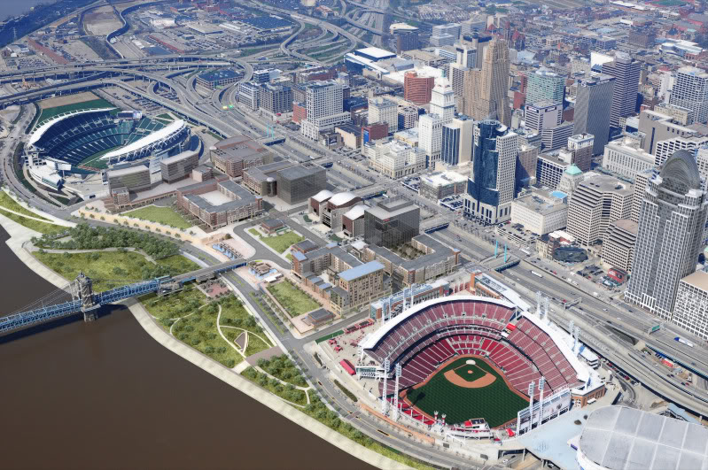
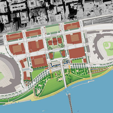
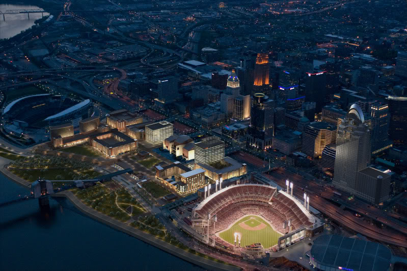
When the stretch of highway was redesigned a decade ago, the better design allowed for several acres of space to be reclaimed for uses that are more productive than a highway. The National Underground Railroad Freedom Center was located on land that was once a highway, as are portions of The Banks development which is currently under construction. Plans for the second phase of The Banks also will make use of the reclaimed land from the redesign. The Banks, bookended by our major league stadia and highlighted by the Freedom Center, is a development project that will fundamentally transform this city’s urban core. It was only made possible through redesigning the stretch of highway and reclaiming under-utilized land on Cincinnati’s urban riverfront.
When the Federal government chose to build I-71 through downtown Cincinnati, they chose to do so in an area that already had a major roadway on it. As a result, local authorities were allowed to maintain the rights to the space directly above the federal highway. Generally, when the Federal government builds highways, they maintain the air rights so that they can better control the factors that impact the highway’s utility. In this case, Cincinnati’s ability to maintain control over these rights ensures that the area can be used to its maximum local utility.
To maximize the utility of the space, officials could choose to install 600 feet-long caps over the highway. As has been discussed previously in this series, the reconstruction of Fort Washington Way ten years ago included building infrastructure necessary to support such caps. Structurally, these caps could support several feet of dirt, allowing the city to create a fascinating, unique pocket park in the heart of downtown Cincinnati. Nearby residents would benefit greatly from a place to walk their dogs. Having the retail, office, and residential space at the Banks surrounded by green space on the south with the new riverfront park and on the north with a park above the highway could provide a stunning and dramatic space.
However, some view more park space in that location as unnecessary, and that the real estate in that particular location is too valuable to be planted over. As a result, it is likely in the city’s best interest to explore options that would generate tax revenue. According to engineers responsible for the project, the caps could be built in such as way so that developers would not be restricted with the building materials they use. However, as the height of a building increases, so too does the building’s weight. As a result, buildings on the caps would likely be limited to about four stories in height.
With that particular height, the new development would provide an aesthetic feature that would visually link The Banks to the rest of the central business district. When the first phase of The Banks is complete, portions of mixed-use development will rise six stories above Second Street. Directly to the north of this area sits the trench of Fort Washington Way, followed immediately by highrises like the E.W. Scripps Tower and Cincinnati Enquirer Building. Developers could opt for a design on the caps that would have first floor restaurant or retail options, with offices or residents above.
One of the worst features of the old Fort Washington Way that the new design did not completely fix is that the highway bisects downtown from the Ohio River. Capping the highway and building several-story, mixed-use buildings on it would go a long way to rectifying that disconnect. Because of the required space between the current bridges over the highway and the caps, entrances to these buildings would have to be from Second or Third Street. This particular design would allow comfortable transition north and south between the waterfront and downtown, but would also keep pedestrians moving east and west in the city.
A task force of engineers recently convened to study the feasibility of building and installing these caps. Their task not only includes determining the exact structural capabilities, but also projected costs. Armed with this information, city officials and developers could begin discussions shortly. Should the city push for a unique park over the highway? Or would you rather see a the area built with multi-use buildings?


