 Over the past few weeks, city crews were busy dismantling another section of downtown Cincinnati’s once extensive skywalk system. The section, an open air walkway over Elm Street and Rusconi Place, was taken down by the city in preparation for the World Choir Games this summer, and the demolition is the latest phase of an ongoing effort to dismantle the city’s once expansive skywalk system.
Developed in the 1960’s as a way for downtown retailers to compete with the enclosed shopping environments found in suburban malls, the city implemented an ambitious plan to construct a series of elevated walkways extending from Fourth and Broadway northwest to the Duke Energy Convention Center.
The skywalks became the preferred connection to places along the route including Fountain Square; Tower Place Mall; department stores such as Shilito’s, Pogue’s, McAlpin’s and LS Ayers; as well as corporate office buildings; Riverfront Stadium; the convention center and its adjoining parking garages.
By the early 2000’s, the skywalk system was stymied by poor way-finding and aggressive pan-handling, and several sections had fallen into disrepair. The system was difficult to control and maintain due to ownership issues surrounding the elevated walkways. But to many urban planners, the biggest issue was that the skywalk system discouraged street-level foot traffic.
Removal and reconfiguration of the skywalk system was proposed as part of the 2002 Center City Plan. The plan found that downtown Cincinnati was declining due to loss of economic activity to the city’s suburbs, and it emphasized the development of places in downtown that highlighted the urban core’s built assets.
Skywalks, the report said, allowed pedestrians to bypass the street which contributed to the perception that downtown was abandoned. To counter those perceptions, the report called for expanding street-level pedestrian activity while also programming pedestrian activity on the street to create economic vibrancy.
“The way you help to build a vital center is to put people on the streets and to enable them to have connectivity on these streets,” city spokesperson Meg Olberding told UrbanCincy.
The city’s actions were even profiled by the New York Times in a 2005 story entitled Rethinking Skyways and Tunnels.
“And now, as cities try to draw residents downtown with loft conversions and tax incentives, several are trying to divert pedestrians back to the street and do away with the walkways.” Patrick O’Gilfoil Healy wrote. “Critics say the walkways are too antiseptic and too controlled and have transformed cities into places to pass through, not live in.”
The skywalk began to come down with the reconfiguration of Fort Washington Way. A piece connecting Riverfront Stadium to the Atrium I and II office towers was demolished in 2002, with other pieces following thereafter. In 2005, the city demolished two sections of the skywalk from the 5/3 Tower to Vine Street and the pedestrian bridge over Fifth Street as part of the $49 million redevelopment of Fountain Square. A second segment that connected Saks Fifth Avenue to the site of a former office tower at Fifth and Race was then dismantled in 2007, and other older sections of the skywalk are likely to be removed in the near future.
Although a considerable amount of the system is still intact today, the biggest improvement from the dismantling thus far can be seen at Fountain Square. Prior to its removal, the Vine Street Skywalk was the busiest skywalk in the city carrying thousands of pedestrians over many street level storefronts and street vendors. The removal of this skywalk helped create today’s vibrant Fountains Square, which is a testament to this policy shift.
As for future plans for the remaining segments of the skywalk, City officials have informed UrbanCincy that the skywalk connecting to Macy’s over Race Street will likely not be utilized in the upcoming dunnhumbyUSA development at Fifth and Race. Oldberding also disclosed that future skywalk demolitions will be decided on a case-by-case basis saying, “We look at how they are contributing to the vitality of the urban center.”
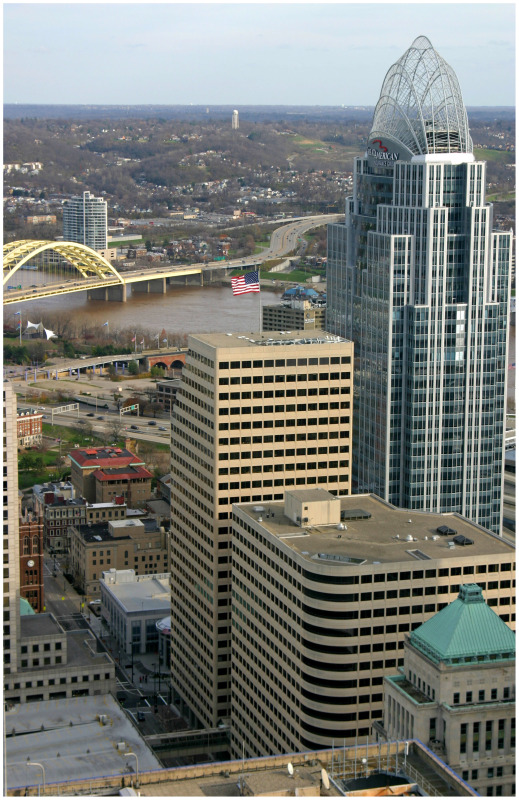
As the skywalk is slowly removed, we have found it necessary to chronicle the once enormous reach of the declining system. UrbanCincy’s research team has developed a map charting the demolished and remaining sections of the skywalk system, as well as the one possible expansion at Great American Tower at Queen City Square. As new sections come down, the map will be updated to reflect those changes.